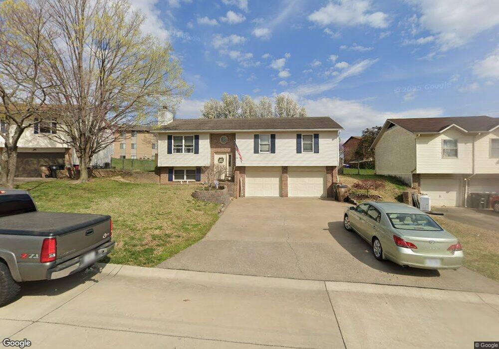
1942 Longview Dr Cape Girardeau, MO 63701
Estimated Value: $213,514 - $227,000
3
Beds
3
Baths
2
Sq Ft
$109,190/Sq Ft
Est. Value
About This Home
This home is located at 1942 Longview Dr, Cape Girardeau, MO 63701 and is currently estimated at $218,379, approximately $109,189 per square foot. 1942 Longview Dr is a home located in Cape Girardeau County with nearby schools including Alma Schrader Elementary School, Central Middle School, and Central Junior High School.
Ownership History
Date
Name
Owned For
Owner Type
Purchase Details
Closed on
Mar 26, 2015
Sold by
Michael L Annis Inc
Bought by
Trapp Donald and Trapp Jessica
Current Estimated Value
Home Financials for this Owner
Home Financials are based on the most recent Mortgage that was taken out on this home.
Original Mortgage
$120,000
Outstanding Balance
$92,582
Interest Rate
3.88%
Mortgage Type
Seller Take Back
Estimated Equity
$125,797
Purchase Details
Closed on
Aug 29, 2008
Sold by
Fitzpatrick David W and Fitzpatrick Kathy J
Bought by
Micheal L Annis Inc
Create a Home Valuation Report for This Property
The Home Valuation Report is an in-depth analysis detailing your home's value as well as a comparison with similar homes in the area
Purchase History
| Date | Buyer | Sale Price | Title Company |
|---|---|---|---|
| Trapp Donald | -- | Cape Girardeau County Abstra | |
| Micheal L Annis Inc | -- | None Available |
Source: Public Records
Mortgage History
| Date | Status | Borrower | Loan Amount |
|---|---|---|---|
| Open | Trapp Donald | $120,000 |
Source: Public Records
Tax History
| Year | Tax Paid | Tax Assessment Tax Assessment Total Assessment is a certain percentage of the fair market value that is determined by local assessors to be the total taxable value of land and additions on the property. | Land | Improvement |
|---|---|---|---|---|
| 2025 | $1,197 | $22,920 | $3,060 | $19,860 |
| 2024 | $11 | $21,830 | $2,920 | $18,910 |
| 2023 | $1,135 | $21,830 | $2,920 | $18,910 |
| 2022 | $1,046 | $20,120 | $2,690 | $17,430 |
| 2021 | $1,046 | $20,120 | $2,690 | $17,430 |
| 2020 | $1,049 | $20,120 | $2,690 | $17,430 |
| 2019 | $1,048 | $20,120 | $0 | $0 |
| 2018 | $1,046 | $20,120 | $0 | $0 |
| 2017 | $1,048 | $20,120 | $0 | $0 |
| 2016 | $1,044 | $20,120 | $0 | $0 |
| 2015 | $1,045 | $20,120 | $0 | $0 |
| 2014 | -- | $20,120 | $0 | $0 |
Source: Public Records
Map
Nearby Homes
- 1925 Randol Dr
- 1813 Belleridge Pike
- 1952 Perryville Rd
- 1813 Meyer Dr
- 1829 Weissinger Ln W
- 2009 Steven Dr
- 1960 Briarwood Dr
- 1843 Dixie Blvd
- 2033 Anthony Dr
- 1465 David St
- 2062 Concord Place
- 1508 Kingsbury Rd
- 2214 Kent Dr
- 3051 N Church St
- 2137 Chesapeake Ave
- 2019 Kevin Dr
- 1646 Westwood Dr
- 2022 Allen Dr
- 2449 Janet Dr
- 1860 Autumn Dr
- 1946 Longview Dr
- 1938 Longview Dr
- 1950 Longview Dr
- 1934 Longview Dr
- 1945 Longview Dr
- 1941 Longview Dr
- 1954 Longview Dr
- 1949 Longview Dr
- 1933 Longview Dr
- 1953 Longview Dr
- 1958 Longview Dr
- 2570 Lisa Dr
- 1957 Longview Dr
- 2572 Lisa Dr
- 1930 David St
- 1962 Longview Dr
- 1934 David St
- 1938 David St
- 1930 Delwin St
- 1961 Longview Dr
Your Personal Tour Guide
Ask me questions while you tour the home.