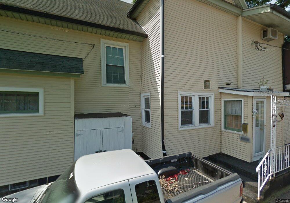
1942 Lorton Ave Davenport, IA 52803
East End NeighborhoodEstimated Value: $293,000 - $305,393
3
Beds
3
Baths
2,840
Sq Ft
$106/Sq Ft
Est. Value
About This Home
This home is located at 1942 Lorton Ave, Davenport, IA 52803 and is currently estimated at $300,598, approximately $105 per square foot. 1942 Lorton Ave is a home located in Scott County with nearby schools including McKinley Elementary School, Sudlow Intermediate School, and Central High School.
Create a Home Valuation Report for This Property
The Home Valuation Report is an in-depth analysis detailing your home's value as well as a comparison with similar homes in the area
Home Values in the Area
Average Home Value in this Area
Tax History Compared to Growth
Tax History
| Year | Tax Paid | Tax Assessment Tax Assessment Total Assessment is a certain percentage of the fair market value that is determined by local assessors to be the total taxable value of land and additions on the property. | Land | Improvement |
|---|---|---|---|---|
| 2025 | $4,010 | $257,060 | $37,520 | $219,540 |
| 2024 | $3,666 | $234,550 | $37,520 | $197,030 |
| 2023 | $3,718 | $220,670 | $37,520 | $183,150 |
| 2022 | $3,734 | $182,950 | $34,400 | $148,550 |
| 2021 | $3,734 | $182,950 | $34,400 | $148,550 |
| 2020 | $3,602 | $174,610 | $34,400 | $140,210 |
| 2019 | $3,532 | $165,900 | $34,400 | $131,500 |
| 2018 | $3,452 | $165,900 | $34,400 | $131,500 |
| 2017 | $923 | $165,900 | $34,400 | $131,500 |
| 2016 | $3,446 | $166,090 | $0 | $0 |
| 2015 | $3,446 | $178,240 | $0 | $0 |
| 2014 | $3,766 | $178,240 | $0 | $0 |
| 2013 | $3,696 | $0 | $0 | $0 |
| 2012 | -- | $174,240 | $32,980 | $141,260 |
Source: Public Records
Map
Nearby Homes
- 2704 E High St
- 1717 Kenwood Ave
- 1806 Forest Rd
- 1704 Jersey Ridge Rd
- 49 Kenwood Ave
- 1815 Belle Ave
- 1803 Belle Ave
- 2905 Middle Rd
- 2950 E 18th St
- 1619 Christie St
- 1504 Christie St
- 2103 E Lombard St
- 123 Fernwood Ave
- 1520 Mound St
- 46 Hillcrest Ave
- 2718 Fairhaven Rd
- 2222 E 13th St
- 1708 Eastmere Dr
- 2122 E 12th St
- 1820 E 16th St
- 1934 Lorton Ave
- 2623 E Pleasant St
- 2619 E Pleasant St
- 1946 Lorton Ave
- 2615 E Pleasant St
- 1926 Lorton Ave
- 1952 Lorton Ave
- 2611 E Pleasant St
- 1918 Lorton Ave
- 2601 E Pleasant St
- 2601 E Pleasant St
- 1923 Lorton Ave
- 2622 E Pleasant St
- 2620 E Pleasant St
- 2702 E Pleasant St
- 2614 E Pleasant St
- 2632 E Pleasant St
- 2612 E Locust St
- 2707 E Pleasant St
- 2610 E Pleasant St