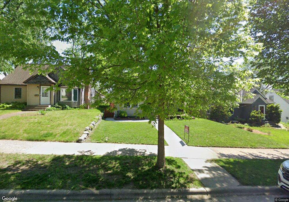
1942 Saunders Ave Saint Paul, MN 55116
Highland Park NeighborhoodEstimated Value: $448,000 - $526,378
About This Home
This home is located at 1942 Saunders Ave, Saint Paul, MN 55116 and is currently estimated at $486,595, approximately $274 per square foot. 1942 Saunders Ave is a home located in Ramsey County with nearby schools including Horace Mann School, Highland Park Middle School, and Highland Park Senior High.
Ownership History
We collect this data history from publicly available records. To have your information removed, we recommend requesting removal directly through your county’s website.
Purchase Details
Home Financials for this Owner
Home Financials are based on the most recent Mortgage that was taken out on this home.Purchase Details
Home Financials for this Owner
Home Financials are based on the most recent Mortgage that was taken out on this home.Purchase Details
Home Financials for this Owner
Home Financials are based on the most recent Mortgage that was taken out on this home.Purchase Details
Home Financials for this Owner
Home Financials are based on the most recent Mortgage that was taken out on this home.Purchase Details
Home Values in the Area
Average Home Value in this Area
Purchase History
We collect this data history from publicly available records. To have your information removed, we recommend requesting removal directly through your county’s website.
| Date | Buyer | Sale Price | Title Company |
|---|---|---|---|
| $415,000 | -- | ||
| $415,000 | Watermark Title | ||
| $398,000 | Attorneys Title Group Llc | ||
| $288,381 | Dca Title | ||
| $128,750 | -- | ||
| $398,000 | -- |
Mortgage History
We collect this data history from publicly available records. To have your information removed, we recommend requesting removal directly through your county’s website.
| Date | Status | Borrower | Loan Amount |
|---|---|---|---|
| Open | $410,500 | ||
| Closed | $336,648 | ||
| Previous Owner | $318,400 | ||
| Previous Owner | $265,905 | ||
| Closed | $318,400 |
Tax History
We collect this data history from publicly available records. To have your information removed, we recommend requesting removal directly through your county’s website.
| Year | Tax Paid | Tax Assessment Tax Assessment Total Assessment is a certain percentage of the fair market value that is determined by local assessors to be the total taxable value of land and additions on the property. | Land | Improvement |
|---|---|---|---|---|
| 2025 | $6,490 | $493,000 | $136,800 | $356,200 |
| 2024 | $6,490 | $440,000 | $136,800 | $303,200 |
| 2023 | $6,490 | $420,000 | $136,800 | $283,200 |
| 2022 | $4,684 | $409,000 | $136,800 | $272,200 |
| 2021 | $4,150 | $277,700 | $136,800 | $140,900 |
| 2020 | $4,448 | $275,000 | $136,800 | $138,200 |
| 2019 | $4,272 | $274,200 | $136,800 | $137,400 |
| 2018 | $3,906 | $261,200 | $136,800 | $124,400 |
| 2017 | $3,412 | $247,800 | $136,800 | $111,000 |
| 2016 | $3,408 | $0 | $0 | $0 |
| 2015 | $3,074 | $219,800 | $117,900 | $101,900 |
| 2014 | $2,776 | $0 | $0 | $0 |
Map
- 1941 W Rome Ave
- 1954 Saunders Ave
- 2269 Beechwood Ave
- 2271 Beechwood Ave
- 2267 Beechwood Ave
- 1890 Yorkshire Ave
- 1846 Saunders Ave
- 1821 Bohland Ave
- 1902 Pinehurst Ave
- 1857 Ford Pkwy
- 1756 Saunders Ave
- 1855 Pinehurst Ave
- 1780 Ford Pkwy
- 1736 Hillcrest Ave
- 1843 Highland Pkwy
- 1731 Hillcrest Ave
- 896 Mississippi River Blvd S
- 878 Mississippi River Blvd S
- 2273 Beechwood Ave
- 681 Wilder St S
- 1945 Rome Ave
- 1945 Rome (Lot 7) Ave
- 1945 Rome (Lot 7) Camp
- 1941 Rome (Lot 8) Ave
- 1949 Rome Ave
- 1937 Rome Ave
- 1953 Rome Ave
- 1931 Rome Ave
- 1957 Rome Ave
- 1938 Saunders Ave
- 1934 Saunders Ave
- 1930 Saunders Ave
- 1946 Saunders Ave
- 1925 Rome Ave
- 1961 Rome Ave
- 1946 Rome Ave
- 1926 Saunders Ave
- 1940 Rome Ave
- 1950 Rome Ave
- 1950 Saunders Ave
Ask me questions while you tour the home.