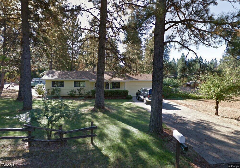
1942 Stark Ln Paradise, CA 95969
Estimated Value: $25,922 - $177,000
3
Beds
2
Baths
1,066
Sq Ft
$95/Sq Ft
Est. Value
About This Home
This home is located at 1942 Stark Ln, Paradise, CA 95969 and is currently estimated at $101,461, approximately $95 per square foot. 1942 Stark Ln is a home located in Butte County with nearby schools including Ponderosa Elementary School, Paradise Junior High School, and Paradise Senior High School.
Ownership History
Date
Name
Owned For
Owner Type
Purchase Details
Closed on
May 27, 2021
Sold by
Crain Robert A and Crain Robert A
Bought by
Mountain View Development Llc and Crain Robert A
Current Estimated Value
Purchase Details
Closed on
Jan 26, 2015
Sold by
Crain Robert A and Crain John D
Bought by
Crain Robert A
Home Financials for this Owner
Home Financials are based on the most recent Mortgage that was taken out on this home.
Original Mortgage
$75,000
Interest Rate
3.8%
Mortgage Type
New Conventional
Create a Home Valuation Report for This Property
The Home Valuation Report is an in-depth analysis detailing your home's value as well as a comparison with similar homes in the area
Home Values in the Area
Average Home Value in this Area
Purchase History
| Date | Buyer | Sale Price | Title Company |
|---|---|---|---|
| Mountain View Development Llc | $25,000 | Mid Valley Title & Escrow Co | |
| Crain Robert A | $73,000 | Orange Coast Title Company |
Source: Public Records
Mortgage History
| Date | Status | Borrower | Loan Amount |
|---|---|---|---|
| Previous Owner | Crain Robert A | $75,000 |
Source: Public Records
Tax History Compared to Growth
Tax History
| Year | Tax Paid | Tax Assessment Tax Assessment Total Assessment is a certain percentage of the fair market value that is determined by local assessors to be the total taxable value of land and additions on the property. | Land | Improvement |
|---|---|---|---|---|
| 2025 | $331 | $27,060 | $27,060 | -- |
| 2024 | $331 | $26,530 | $26,530 | $0 |
| 2023 | $331 | $26,010 | $26,010 | $0 |
| 2022 | $325 | $25,500 | $25,500 | $0 |
| 2021 | $428 | $35,000 | $35,000 | $0 |
| 2020 | $413 | $35,000 | $35,000 | $0 |
| 2019 | $360 | $30,000 | $30,000 | $0 |
| 2018 | $1,531 | $141,608 | $52,901 | $88,707 |
| 2017 | $1,508 | $138,832 | $51,864 | $86,968 |
| 2016 | $1,457 | $136,111 | $50,848 | $85,263 |
| 2015 | $1,166 | $108,111 | $35,156 | $72,955 |
| 2014 | $1,146 | $105,994 | $34,468 | $71,526 |
Source: Public Records
Map
Nearby Homes
- 6666 Shay Ln
- 1833 Stark Ln
- 1871 June Way
- 1805 Stark Ln
- 1905 Paige Ln
- 0 Summerwood Ct Unit PA25231363
- 1910 Paige Ln
- 1761 Silverthorne Ln
- 6656 Pentz Rd Unit 23
- 6656 Pentz Rd Unit 29
- 6656 Pentz Rd Unit 19
- 6656 Pentz Rd
- 6656 Pentz Rd Unit 69
- 0 Bille Road Extension
- 6620 Pentz Rd
- 6572 Pentz Rd
- 6674 Pentz Rd
- 1837 Clear Brook Ln
- 1945 Merrill Rd
- 6322 Pentz Rd
- 6267 Mountain View Dr
- 6560 Center Pine Dr
- 1926 Stark Ln
- 6562 Center Pine Dr
- 6564 Center Pine Dr
- 1908 Stark Ln
- 6255 Mountain View Dr
- 1955 Stark Ln
- 6565 Center Pine Dr
- 6566 Center Pine Dr
- 1892 Stark Ln
- 6567 Center Pine Dr
- 6644 Shay Ln
- 6233 Mountain View Dr
- 1886 Andrew Place
- 6252 Mountain View Dr
- 1874 Andrew Place
- 1880 Andrew Place
- 1839 Stark Ln
- 6660 Shay Ln