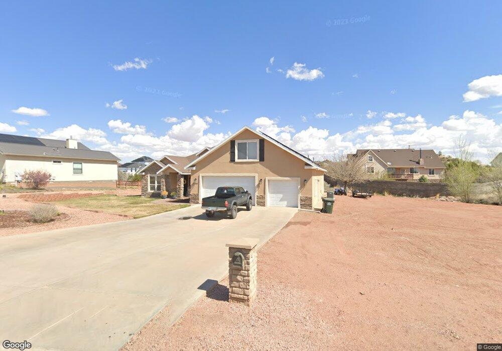
1942 W 7th St S Snowflake, AZ 85937
Estimated Value: $577,895 - $697,000
--
Bed
--
Bath
3,192
Sq Ft
$193/Sq Ft
Est. Value
About This Home
This home is located at 1942 W 7th St S, Snowflake, AZ 85937 and is currently estimated at $615,724, approximately $192 per square foot. 1942 W 7th St S is a home located in Navajo County with nearby schools including Highland Primary School, Snowflake Intermediate School, and Snowflake Junior High School.
Ownership History
Date
Name
Owned For
Owner Type
Purchase Details
Closed on
Dec 6, 2007
Sold by
Stuart Ryan C and Stuart Misty L
Bought by
Stuart Ryan C and Stuart Misty L
Current Estimated Value
Home Financials for this Owner
Home Financials are based on the most recent Mortgage that was taken out on this home.
Original Mortgage
$299,500
Outstanding Balance
$189,179
Interest Rate
6.26%
Mortgage Type
New Conventional
Estimated Equity
$426,545
Purchase Details
Closed on
Apr 5, 2007
Sold by
Stuart Ryan C and Stuart Misty L
Bought by
Stuart Ryan C and Stuart Misty L
Purchase Details
Closed on
Aug 30, 2005
Sold by
Armel Land Investors Llc
Bought by
Stuart Ryan C and Stuart Misty L
Home Financials for this Owner
Home Financials are based on the most recent Mortgage that was taken out on this home.
Original Mortgage
$265,000
Interest Rate
5.67%
Mortgage Type
Purchase Money Mortgage
Create a Home Valuation Report for This Property
The Home Valuation Report is an in-depth analysis detailing your home's value as well as a comparison with similar homes in the area
Home Values in the Area
Average Home Value in this Area
Purchase History
| Date | Buyer | Sale Price | Title Company |
|---|---|---|---|
| Stuart Ryan C | -- | Landamerica Transnation Titl | |
| Stuart Ryan C | -- | None Available | |
| Stuart Ryan C | $51,900 | Transnation Title |
Source: Public Records
Mortgage History
| Date | Status | Borrower | Loan Amount |
|---|---|---|---|
| Open | Stuart Ryan C | $299,500 | |
| Previous Owner | Stuart Ryan C | $265,000 |
Source: Public Records
Tax History Compared to Growth
Tax History
| Year | Tax Paid | Tax Assessment Tax Assessment Total Assessment is a certain percentage of the fair market value that is determined by local assessors to be the total taxable value of land and additions on the property. | Land | Improvement |
|---|---|---|---|---|
| 2026 | $1,721 | -- | -- | -- |
| 2025 | $1,673 | $54,047 | $3,693 | $50,354 |
| 2024 | $1,785 | $53,442 | $3,630 | $49,812 |
| 2023 | $1,673 | $44,637 | $3,279 | $41,358 |
| 2022 | $1,785 | $0 | $0 | $0 |
| 2021 | $1,937 | $0 | $0 | $0 |
| 2020 | $1,948 | $0 | $0 | $0 |
| 2019 | $1,910 | $0 | $0 | $0 |
| 2018 | $1,850 | $0 | $0 | $0 |
| 2017 | $1,807 | $0 | $0 | $0 |
| 2016 | $1,851 | $0 | $0 | $0 |
| 2015 | $1,625 | $19,990 | $2,800 | $17,190 |
Source: Public Records
Map
Nearby Homes
- 2174 W Antelope
- 1705 W Western Dove Dr
- 1738 W 7th St S
- 2267 W Heritage Dr
- 1788 W Stagecoach Ln
- 1778 W Stagecoach Ln
- 362 S Pioneer Trail
- 411 Hillcrest Dr
- 305 W Vista Dr
- Lot 27 S Temple Cir
- 1479 W Tumbleweed Trail
- 1676 W Quarter Horse Dr
- 1717 Sand Trap Ln
- 1415 W Tumbleweed Trail
- 1403 Lobo Trail
- 261 S Cedar Dr
- 1362 Lobo Trail
- 2115 W Cedar Crest Dr
- 2642 W Foothill Cir Unit 13
- 2642 Foothill Cir
- 1926 W 7th St S
- 1968 W 7th St S
- 1939 Prairie Rd
- Lot 167 Prairie
- 1990 Prairie Rd
- 0 N Hillcrest Dr Lot 998 Dr Unit 231398
- 0 S Pioneer Lot 133 Trail Unit 231220
- 0 N Hillcrest Dr Lot 997 Unit 232268
- Lot # 165 S Pioneer Trail
- 1852 W 7th St S
- 1886 W 7th St S
- 620 S Pioneer Trail
- 0 N Hillcrest Dr Lot 996 Unit 232266
- 649 S Hillcrest Dr
- Lot # 164 S Pioneer Trail
- 597 S Pioneer Trail
- 1868 W 7th St S
- 1869 Prairie Rd
- 0 N Hillcrest Drive Lot 995 Unit 232263
- 0 W Antelope Lot 5 Unit 237380