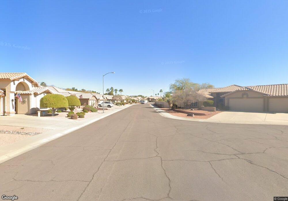
19425 W 85th Ave Peoria, AZ 85382
Estimated Value: $382,303 - $420,000
2
Beds
2
Baths
1,437
Sq Ft
$282/Sq Ft
Est. Value
About This Home
This home is located at 19425 W 85th Ave, Peoria, AZ 85382 and is currently estimated at $405,076, approximately $281 per square foot. 19425 W 85th Ave is a home located in Maricopa County with nearby schools including Apache Elementary School, Sunrise Mountain High School, and Sonoran Science Academy-Peoria.
Ownership History
Date
Name
Owned For
Owner Type
Purchase Details
Closed on
Apr 15, 2003
Sold by
Merkle Robert E and Merkle Marilyn D
Bought by
Shelley B Thompson Living Trust
Current Estimated Value
Purchase Details
Closed on
Nov 21, 1997
Sold by
First American Title Insurance Company
Bought by
Merkle Robert E and Merkle Marilyn D
Home Financials for this Owner
Home Financials are based on the most recent Mortgage that was taken out on this home.
Original Mortgage
$100,000
Interest Rate
7.23%
Mortgage Type
New Conventional
Create a Home Valuation Report for This Property
The Home Valuation Report is an in-depth analysis detailing your home's value as well as a comparison with similar homes in the area
Home Values in the Area
Average Home Value in this Area
Purchase History
| Date | Buyer | Sale Price | Title Company |
|---|---|---|---|
| Shelley B Thompson Living Trust | $169,000 | First American Title Ins Co | |
| Merkle Robert E | $132,040 | First American Title |
Source: Public Records
Mortgage History
| Date | Status | Borrower | Loan Amount |
|---|---|---|---|
| Previous Owner | Merkle Robert E | $100,000 |
Source: Public Records
Tax History Compared to Growth
Tax History
| Year | Tax Paid | Tax Assessment Tax Assessment Total Assessment is a certain percentage of the fair market value that is determined by local assessors to be the total taxable value of land and additions on the property. | Land | Improvement |
|---|---|---|---|---|
| 2025 | $2,268 | $23,996 | -- | -- |
| 2024 | $1,862 | $22,853 | -- | -- |
| 2023 | $1,862 | $26,960 | $5,390 | $21,570 |
| 2022 | $1,823 | $22,770 | $4,550 | $18,220 |
| 2021 | $1,949 | $21,260 | $4,250 | $17,010 |
| 2020 | $1,968 | $19,600 | $3,920 | $15,680 |
| 2019 | $1,905 | $19,100 | $3,820 | $15,280 |
| 2018 | $1,835 | $17,460 | $3,490 | $13,970 |
| 2017 | $1,836 | $17,060 | $3,410 | $13,650 |
| 2016 | $1,817 | $16,270 | $3,250 | $13,020 |
| 2015 | $1,695 | $16,030 | $3,200 | $12,830 |
Source: Public Records
Map
Nearby Homes
- 8502 W Kimberly Way
- 8546 W Wescott Dr
- 8502 W Topeka Dr
- 8402 W Rosemonte Dr
- 8333 W Wescott Dr
- 18729 N 84th Dr
- 18830 N 83rd Ln
- 8449 W Rockwood Dr
- 19405 N 83rd Dr
- 8517 W Rockwood Dr
- 8529 W Rockwood Dr
- 8390 W Oraibi Dr
- 8737 W Kimberly Way
- 8420 W Audrey Ln
- 8370 W Audrey Ln
- 19720 N 83rd Dr
- 19070 N 88th Ave
- 19791 N 86th Dr
- 8701 W Behrend Dr
- 8332 W Troy St
- 8464 W Wescott Dr
- 8458 W Wescott Dr
- 8504 W Wescott Dr
- 8452 W Wescott Dr
- 8457 W Wescott Dr
- 8509 W Wescott Dr
- 8463 W Wescott Dr
- 8503 W Wescott Dr
- 8510 W Wescott Dr
- 8446 W Wescott Dr
- 8515 W Wescott Dr
- 19122 N 84th Dr
- 19128 N 84th Dr
- 8516 W Wescott Dr
- 8440 W Wescott Dr
- 19116 N 84th Dr
- 8452 W Taro Ln
- 19134 N 84th Dr
- 8440 W Kimberly Way
- 8446 W Kimberly Way