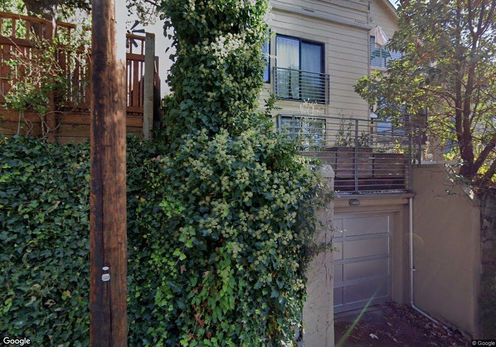
1943 8th Ave W Seattle, WA 98119
West Queen Anne NeighborhoodEstimated Value: $1,090,829 - $1,108,000
2
Beds
3
Baths
1,040
Sq Ft
$1,058/Sq Ft
Est. Value
About This Home
This home is located at 1943 8th Ave W, Seattle, WA 98119 and is currently estimated at $1,100,207, approximately $1,057 per square foot. 1943 8th Ave W is a home located in King County with nearby schools including Coe Elementary School, Mcclure Middle School, and Lincoln High School.
Ownership History
Date
Name
Owned For
Owner Type
Purchase Details
Closed on
Feb 1, 2011
Sold by
Chalfant Peter S and Liv Janice
Bought by
Queenanne Townhouse Llc
Current Estimated Value
Purchase Details
Closed on
Oct 25, 2010
Sold by
Chalfant Peter S and Chalfant Janice L
Bought by
Chalfant Peters F and Li Janice
Purchase Details
Closed on
Jun 12, 2007
Sold by
Great Northern Land Co Llc
Bought by
Chalfant Peter S and Chalfant Janice L
Create a Home Valuation Report for This Property
The Home Valuation Report is an in-depth analysis detailing your home's value as well as a comparison with similar homes in the area
Home Values in the Area
Average Home Value in this Area
Purchase History
Date | Buyer | Sale Price | Title Company |
---|---|---|---|
Queenanne Townhouse Llc | -- | None Available | |
Chalfant Peters F | -- | None Available | |
Chalfant Peter S | $680,000 | Fidelity Natio |
Source: Public Records
Tax History Compared to Growth
Tax History
Year | Tax Paid | Tax Assessment Tax Assessment Total Assessment is a certain percentage of the fair market value that is determined by local assessors to be the total taxable value of land and additions on the property. | Land | Improvement |
---|---|---|---|---|
2024 | $9,651 | $1,022,000 | $396,000 | $626,000 |
2023 | $8,912 | $957,000 | $396,000 | $561,000 |
2022 | $7,815 | $1,036,000 | $420,000 | $616,000 |
2021 | $7,652 | $860,000 | $319,000 | $541,000 |
2020 | $8,452 | $799,000 | $293,000 | $506,000 |
2018 | $8,443 | $876,000 | $314,000 | $562,000 |
2017 | $7,552 | $865,000 | $272,000 | $593,000 |
2016 | $6,843 | $800,000 | $253,000 | $547,000 |
2015 | $5,683 | $707,000 | $271,000 | $436,000 |
2014 | -- | $590,000 | $217,000 | $373,000 |
2013 | -- | $554,000 | $205,000 | $349,000 |
Source: Public Records
Map
Nearby Homes
- 1953 9th Ave W
- 1901 8th Ave W
- 1921 7th Ave W
- 2116 9th Ave W Unit A
- 2111 9th Ave W Unit 20
- 2118 10th Ave W
- 1909 10th Ave W Unit 203
- 1909 10th Ave W Unit 301
- 921 W Mcgraw Unit 34
- 957 W Mcgraw St Unit 1
- 1907 5th Ave W
- 1621 7th Ave W
- 1832 12th Ave W
- 1959 12th Ave W Unit 1S
- 1906 5th Ave W
- 1965 12th Ave W Unit 202
- 1603 7th Ave W
- 2040 13th Ave W Unit 41
- 2040 13th Ave W Unit 13
- 1813 12th Ave W
- 1943 8th Ave W
- 1943 8th Ave W Unit C
- 1943 8th Ave W Unit B
- 1943 8th Ave W Unit C
- 1939 8th Ave W
- 1935 8th Ave W
- 1941 8th Ave W
- 1938 9th Ave W
- 1947 8th Ave W
- 1944 9th Ave W Unit B
- 1944 9th Ave W Unit A
- 1944 9th Ave W
- 1931 8th Ave W
- 1949 8th Ave W
- 1936 9th Ave W
- 1929 8th Ave W
- 1934 9th Ave W
- 1954 9th Ave W
- 1954 9th Ave W Unit B
- 1954 9th Ave W Unit A