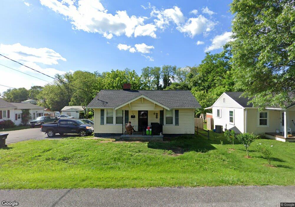
1943 Bay St Unit 1 Bristol, TN 37620
Estimated Value: $156,000 - $175,000
2
Beds
2
Baths
1,017
Sq Ft
$163/Sq Ft
Est. Value
About This Home
This home is located at 1943 Bay St Unit 1, Bristol, TN 37620 and is currently estimated at $165,719, approximately $162 per square foot. 1943 Bay St Unit 1 is a home located in Sullivan County with nearby schools including Anderson Elementary School, Vance Middle School, and Tennessee High School.
Ownership History
Date
Name
Owned For
Owner Type
Purchase Details
Closed on
Feb 20, 2015
Sold by
Hooton James Michael
Bought by
Mcclellan George R and Mcclellan Junella R
Current Estimated Value
Purchase Details
Closed on
Jun 29, 2007
Sold by
Us Bank Natl Assoc
Bought by
Michelle Messer Amy
Home Financials for this Owner
Home Financials are based on the most recent Mortgage that was taken out on this home.
Original Mortgage
$56,535
Interest Rate
6.37%
Purchase Details
Closed on
Jan 25, 2007
Purchase Details
Closed on
Jan 6, 2006
Sold by
Est Kimbler Helen Pauline
Bought by
Anne Walsh Stacey
Home Financials for this Owner
Home Financials are based on the most recent Mortgage that was taken out on this home.
Original Mortgage
$60,000
Interest Rate
6.22%
Create a Home Valuation Report for This Property
The Home Valuation Report is an in-depth analysis detailing your home's value as well as a comparison with similar homes in the area
Home Values in the Area
Average Home Value in this Area
Purchase History
| Date | Buyer | Sale Price | Title Company |
|---|---|---|---|
| Mcclellan George R | $62,000 | -- | |
| Michelle Messer Amy | $56,535 | -- | |
| -- | $51,100 | -- | |
| Anne Walsh Stacey | $67,500 | -- |
Source: Public Records
Mortgage History
| Date | Status | Borrower | Loan Amount |
|---|---|---|---|
| Previous Owner | Anne Walsh Stacey | $56,535 | |
| Previous Owner | Anne Walsh Stacey | $60,000 | |
| Previous Owner | Anne Walsh Stacey | $7,500 |
Source: Public Records
Tax History Compared to Growth
Tax History
| Year | Tax Paid | Tax Assessment Tax Assessment Total Assessment is a certain percentage of the fair market value that is determined by local assessors to be the total taxable value of land and additions on the property. | Land | Improvement |
|---|---|---|---|---|
| 2024 | -- | $17,300 | $1,575 | $15,725 |
| 2023 | $760 | $17,300 | $1,575 | $15,725 |
| 2022 | $760 | $17,300 | $1,575 | $15,725 |
| 2021 | $760 | $17,300 | $1,575 | $15,725 |
| 2020 | $783 | $17,300 | $1,575 | $15,725 |
| 2019 | $783 | $16,550 | $1,575 | $14,975 |
| 2018 | $780 | $16,550 | $1,575 | $14,975 |
| 2017 | $780 | $16,550 | $1,575 | $14,975 |
| 2016 | $611 | $12,675 | $1,575 | $11,100 |
| 2014 | $578 | $12,694 | $0 | $0 |
Source: Public Records
Map
Nearby Homes
- 1614 Broad St
- 1443 Windsor Ave
- 2000 Euclid Ave
- 000 Hemlock Dr
- 60 Peters St
- 1057 Moorland Ave
- 2177 Randolph St
- 2121 2123 Randolph St
- 1724 & 1728 Euclid Ave
- 1227 Shelby St
- 1224 Shelby St
- 2412,14,16 Bradley St
- 2241 Bradley St
- 420 Douglas St
- 2400 Bradley St
- 1216 Norway St
- 728 Randolph St
- 460 Vance St
- 461 Douglas St
- 311 12th St