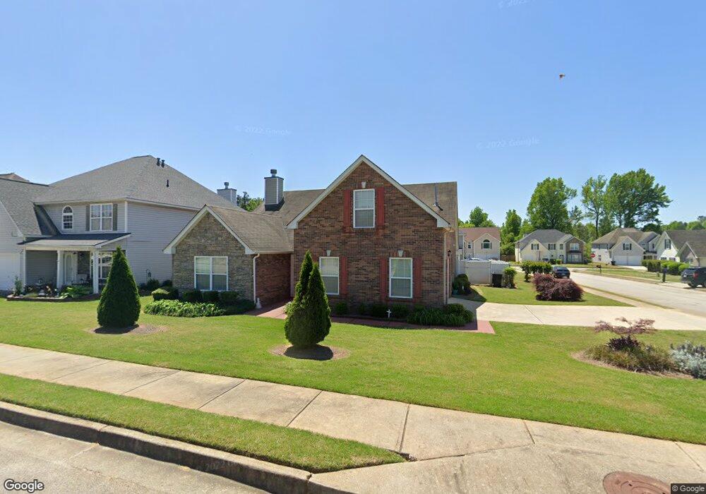
1943 Bernie Way Unit 1 Hampton, GA 30228
Estimated Value: $265,888 - $300,000
4
Beds
3
Baths
1,670
Sq Ft
$167/Sq Ft
Est. Value
About This Home
This home is located at 1943 Bernie Way Unit 1, Hampton, GA 30228 and is currently estimated at $278,972, approximately $167 per square foot. 1943 Bernie Way Unit 1 is a home located in Clayton County with nearby schools including Michelle Obama STEM Elementary Academy, Eddie White Academy, and Lovejoy High School.
Ownership History
Date
Name
Owned For
Owner Type
Purchase Details
Closed on
Jan 18, 2012
Sold by
Bridgewater Simeon
Bought by
Simeon A
Current Estimated Value
Purchase Details
Closed on
Aug 30, 2005
Sold by
Homelife Communities Clayton Inc
Bought by
Bridgewater Simeon and Bridgewater Gertrude
Home Financials for this Owner
Home Financials are based on the most recent Mortgage that was taken out on this home.
Original Mortgage
$100,000
Interest Rate
5.77%
Mortgage Type
New Conventional
Create a Home Valuation Report for This Property
The Home Valuation Report is an in-depth analysis detailing your home's value as well as a comparison with similar homes in the area
Home Values in the Area
Average Home Value in this Area
Purchase History
| Date | Buyer | Sale Price | Title Company |
|---|---|---|---|
| Simeon A | -- | -- | |
| Bridgewater Simeon | $157,000 | -- |
Source: Public Records
Mortgage History
| Date | Status | Borrower | Loan Amount |
|---|---|---|---|
| Previous Owner | Bridgewater Simeon | $100,000 |
Source: Public Records
Tax History Compared to Growth
Tax History
| Year | Tax Paid | Tax Assessment Tax Assessment Total Assessment is a certain percentage of the fair market value that is determined by local assessors to be the total taxable value of land and additions on the property. | Land | Improvement |
|---|---|---|---|---|
| 2025 | $1,956 | $118,600 | $9,600 | $109,000 |
| 2024 | $2,054 | $119,800 | $9,600 | $110,200 |
| 2023 | $969 | $110,920 | $9,600 | $101,320 |
| 2022 | $1,477 | $90,720 | $9,600 | $81,120 |
| 2021 | $1,031 | $66,880 | $9,600 | $57,280 |
| 2020 | $972 | $62,596 | $9,600 | $52,996 |
| 2019 | $897 | $56,046 | $9,600 | $46,446 |
| 2018 | $897 | $53,575 | $9,600 | $43,975 |
| 2017 | $740 | $42,493 | $9,600 | $32,893 |
| 2016 | $633 | $37,560 | $9,600 | $27,960 |
| 2015 | $613 | $0 | $0 | $0 |
| 2014 | $431 | $29,774 | $9,600 | $20,174 |
Source: Public Records
Map
Nearby Homes
- 1938 Bertha Ct
- 1869 Dalton Way
- 11569 Kades Trail
- 11569 Kimberly Way
- 11532 Ethan Ct
- 11854 Registry Blvd
- 1856 Simmons Ln
- Aspen Plan at The Enclave Townhomes
- 11533 Kimberly Way Unit LOT 10
- 11533 Kimberly Way
- 11543 Kimberly Way
- 11541 Kimberly Way
- 11545 Kimberly Way
- 11535 Kimberly Way
- 11531 Kimberly Way
- 11537 Kimberly Way
- 11539 Kimberly Way
- 412 River Walk Farm
- 11447 S Grove Dr
- 11435 S Grove Dr
- 1949 Bernie Way Unit 1
- 11716 Sarah Loop
- 1955 Bernie Way
- 11722 Sarah Loop
- 11685 Bruce Dr
- 11691 Bruce Dr
- 11691 Bruce Dr
- 11679 Bruce Dr
- 1942 Bernie Way
- 11728 Sarah Loop
- 11728 Sarah Loop
- 1948 Bernie Way Unit 1
- 1961 Bernie Way
- 11673 Bruce Dr
- 11699 Bruce Dr
- 1954 Bernie Way
- 11734 Sarah Loop
- 11667 Bruce Dr
- 1967 Bernie Way
- 1960 Bernie Way