1943 Debra Sue Ct Eugene, OR 97404
River Road NeighborhoodEstimated Value: $457,405 - $478,000
3
Beds
2
Baths
1,550
Sq Ft
$299/Sq Ft
Est. Value
About This Home
This home is located at 1943 Debra Sue Ct, Eugene, OR 97404 and is currently estimated at $464,101, approximately $299 per square foot. 1943 Debra Sue Ct is a home located in Lane County with nearby schools including Irving Elementary School and Willamette High School.
Ownership History
Date
Name
Owned For
Owner Type
Purchase Details
Closed on
Jul 20, 2015
Sold by
Tk Homes Llc
Bought by
Nyls Kelly and Leary Michele O
Current Estimated Value
Home Financials for this Owner
Home Financials are based on the most recent Mortgage that was taken out on this home.
Original Mortgage
$200,000
Outstanding Balance
$156,546
Interest Rate
4.05%
Mortgage Type
New Conventional
Estimated Equity
$307,555
Purchase Details
Closed on
Mar 12, 2015
Sold by
524 Bushnell Llc
Bought by
Pineridge Construction Llc
Home Financials for this Owner
Home Financials are based on the most recent Mortgage that was taken out on this home.
Original Mortgage
$120,000
Interest Rate
3.61%
Mortgage Type
Purchase Money Mortgage
Purchase Details
Closed on
Dec 19, 2014
Sold by
524 Bushnell Llc
Bought by
Tk Homes Llc
Create a Home Valuation Report for This Property
The Home Valuation Report is an in-depth analysis detailing your home's value as well as a comparison with similar homes in the area
Home Values in the Area
Average Home Value in this Area
Purchase History
| Date | Buyer | Sale Price | Title Company |
|---|---|---|---|
| Nyls Kelly | $272,000 | Western Title & Escrow Co | |
| Pineridge Construction Llc | $52,500 | Western Title & Escrow Co | |
| Tk Homes Llc | $65,000 | Western Title & Escrow Co |
Source: Public Records
Mortgage History
| Date | Status | Borrower | Loan Amount |
|---|---|---|---|
| Open | Nyls Kelly | $200,000 | |
| Previous Owner | Pineridge Construction Llc | $120,000 |
Source: Public Records
Tax History Compared to Growth
Tax History
| Year | Tax Paid | Tax Assessment Tax Assessment Total Assessment is a certain percentage of the fair market value that is determined by local assessors to be the total taxable value of land and additions on the property. | Land | Improvement |
|---|---|---|---|---|
| 2025 | $4,379 | $251,770 | -- | -- |
| 2024 | $4,269 | $244,437 | -- | -- |
| 2023 | $4,269 | $237,318 | $0 | $0 |
| 2022 | $3,974 | $230,406 | $0 | $0 |
| 2021 | $3,890 | $223,696 | $0 | $0 |
| 2020 | $3,777 | $217,181 | $0 | $0 |
| 2019 | $3,591 | $210,856 | $0 | $0 |
| 2018 | $3,491 | $198,752 | $0 | $0 |
| 2017 | $3,336 | $198,752 | $0 | $0 |
| 2016 | $3,251 | $192,963 | $0 | $0 |
| 2015 | $712 | $41,881 | $0 | $0 |
| 2014 | $316 | $18,335 | $0 | $0 |
Source: Public Records
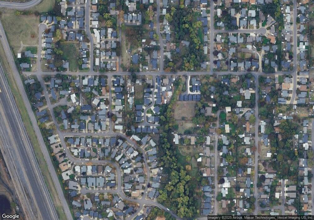
Map
Nearby Homes
- 1310 David Ave
- 1306 David Ave
- 507 Littlewood Ln
- 1765 Labona Dr
- 2429 Northampton Unit 25
- 837 Armstrong Ave
- 2488 Northampton
- 725 Greg Way
- 2484 Crowther Dr
- 0 Pacific Hwy W
- 2563 York St
- 3893 N Clarey St
- 1745 Grove St
- 2698 Crowther Dr
- 3888 Century Dr
- 0 N Park Alley
- 2580 Crowther Dr
- 3906 Century Dr
- 3741 Century Dr
- 2795 Kalmia St
- 524 Bushnell Ln
- 1955 Debra Sue Ct
- 1925 Debra Sue Ct
- 1905 Debra Sue Ct
- 1950 Debra Sue Ct
- 1961 Debra Sue Ct
- 1958 Debra Sue Ct
- 1930 Debra Sue Ct
- 1924 Debra Sue Ct
- 1975 Debra Sue Ct
- 1906 Debra Sue Ct
- 1920 Debra Sue Ct
- 1910 Debra Sue Ct
- 1914 Debra Sue Ct
- 0 Debra Sue Ct
- 1983 Debra Sue Ct
- 498 Bushnell Ln
- 528 Bushnell Ln
- 510 Bushnell Ln
- 520 Bushnell Ln