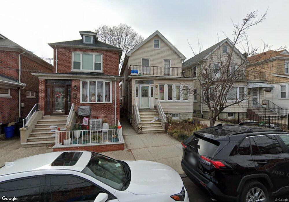
1943 Hone Ave Bronx, NY 10461
Morris Park NeighborhoodEstimated Value: $609,841 - $834,000
--
Bed
--
Bath
1,857
Sq Ft
$411/Sq Ft
Est. Value
About This Home
This home is located at 1943 Hone Ave, Bronx, NY 10461 and is currently estimated at $763,710, approximately $411 per square foot. 1943 Hone Ave is a home located in Bronx County with nearby schools including P.S. 083 The Donald Hertz School, Emblaze Academy Charter School, and St. Clare of Assisi School.
Ownership History
Date
Name
Owned For
Owner Type
Purchase Details
Closed on
May 6, 2002
Sold by
Deluca Anna Admin For and Deluca Arthur Admin
Bought by
Vukel Palina and Vukel Mark
Current Estimated Value
Home Financials for this Owner
Home Financials are based on the most recent Mortgage that was taken out on this home.
Original Mortgage
$164,800
Interest Rate
6.09%
Create a Home Valuation Report for This Property
The Home Valuation Report is an in-depth analysis detailing your home's value as well as a comparison with similar homes in the area
Home Values in the Area
Average Home Value in this Area
Purchase History
| Date | Buyer | Sale Price | Title Company |
|---|---|---|---|
| Vukel Palina | -- | -- |
Source: Public Records
Mortgage History
| Date | Status | Borrower | Loan Amount |
|---|---|---|---|
| Previous Owner | Vukel Palina | $164,800 |
Source: Public Records
Tax History Compared to Growth
Tax History
| Year | Tax Paid | Tax Assessment Tax Assessment Total Assessment is a certain percentage of the fair market value that is determined by local assessors to be the total taxable value of land and additions on the property. | Land | Improvement |
|---|---|---|---|---|
| 2025 | $5,836 | $32,280 | $7,069 | $25,211 |
| 2024 | $5,836 | $30,456 | $6,210 | $24,246 |
| 2023 | $5,579 | $28,872 | $5,292 | $23,580 |
| 2022 | $5,477 | $42,900 | $8,160 | $34,740 |
| 2021 | $5,698 | $36,660 | $8,160 | $28,500 |
| 2020 | $4,864 | $34,380 | $8,160 | $26,220 |
| 2019 | $4,483 | $33,420 | $8,160 | $25,260 |
| 2018 | $4,607 | $24,060 | $8,160 | $15,900 |
| 2017 | $4,806 | $25,048 | $7,263 | $17,785 |
| 2016 | $4,440 | $23,761 | $7,694 | $16,067 |
| 2015 | $2,850 | $22,417 | $7,927 | $14,490 |
| 2014 | $2,850 | $21,150 | $8,798 | $12,352 |
Source: Public Records
Map
Nearby Homes
- 1963 Hone Ave
- 1059 Neill Ave
- 1917 Lurting Ave
- 1958 Colden Ave
- 1054 Lydig Ave
- 1088 Lydig Ave
- 1903 Tomlinson Ave
- 1859 Hone Ave
- 1116 Rhinelander Ave
- 1004 Rhinelander Ave
- 2116 Paulding Ave
- 2037 Radcliff Ave
- 1832 Haight Ave
- 1855 Williamsbridge Rd
- 1819 Haight Ave
- 1846 Williamsbridge Rd
- 1925 Bogart Ave
- - Lydig Ave
- 1861 Hering Ave
- 2166 Paulding Ave
- 1941 Hone Ave
- 1945 Hone Ave
- 1939 Hone Ave
- 1947 Hone Ave
- 1937 Hone Ave
- 1937 Hone Ave Unit 1
- 1949 Hone Ave
- 1946 Paulding Ave
- 1933 Hone Ave
- 1942 Paulding Ave
- 1944 Paulding Ave
- 1951 Hone Ave
- 1948 Paulding Ave
- 1952 Paulding Ave
- 1940 Paulding Ave
- 1959 Hone Ave
- 1931 Hone Ave
- 1938 Paulding Ave
- 1954 Paulding Ave
- 1961 Hone Ave