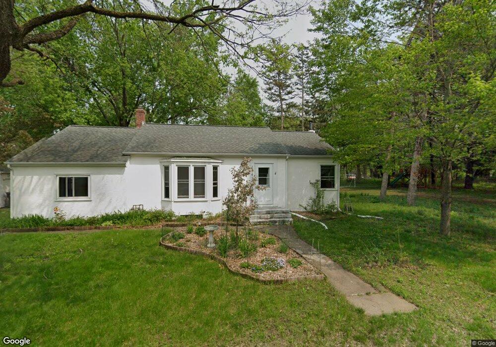
1943 Racine Ave S Lakeland, MN 55043
Estimated Value: $341,000 - $370,000
3
Beds
2
Baths
1,310
Sq Ft
$268/Sq Ft
Est. Value
About This Home
This home is located at 1943 Racine Ave S, Lakeland, MN 55043 and is currently estimated at $351,054, approximately $267 per square foot. 1943 Racine Ave S is a home located in Washington County with nearby schools including Afton-Lakeland Elementary School, Oak-Land Middle School, and Stillwater Area High School.
Ownership History
Date
Name
Owned For
Owner Type
Purchase Details
Closed on
Mar 26, 2019
Sold by
Sanderson Denise M and Charlsen Wendy
Bought by
Snelling Matthew and Snelling Christen
Current Estimated Value
Home Financials for this Owner
Home Financials are based on the most recent Mortgage that was taken out on this home.
Original Mortgage
$106,000
Outstanding Balance
$68,811
Interest Rate
4.3%
Mortgage Type
New Conventional
Estimated Equity
$282,243
Create a Home Valuation Report for This Property
The Home Valuation Report is an in-depth analysis detailing your home's value as well as a comparison with similar homes in the area
Home Values in the Area
Average Home Value in this Area
Purchase History
| Date | Buyer | Sale Price | Title Company |
|---|---|---|---|
| Snelling Matthew | $226,000 | Liberty Title Inc |
Source: Public Records
Mortgage History
| Date | Status | Borrower | Loan Amount |
|---|---|---|---|
| Open | Snelling Matthew | $106,000 |
Source: Public Records
Tax History Compared to Growth
Tax History
| Year | Tax Paid | Tax Assessment Tax Assessment Total Assessment is a certain percentage of the fair market value that is determined by local assessors to be the total taxable value of land and additions on the property. | Land | Improvement |
|---|---|---|---|---|
| 2024 | $2,760 | $290,900 | $95,000 | $195,900 |
| 2023 | $2,760 | $309,000 | $130,000 | $179,000 |
| 2022 | $2,422 | $278,400 | $117,500 | $160,900 |
| 2021 | $2,274 | $237,000 | $100,000 | $137,000 |
| 2020 | $2,126 | $230,500 | $100,000 | $130,500 |
| 2019 | $2,080 | $215,500 | $95,000 | $120,500 |
| 2018 | $1,868 | $201,900 | $83,800 | $118,100 |
| 2017 | $1,922 | $174,600 | $67,000 | $107,600 |
| 2016 | $1,790 | $176,000 | $67,000 | $109,000 |
| 2015 | $1,716 | $136,000 | $49,600 | $86,400 |
| 2013 | -- | $111,300 | $39,200 | $72,100 |
Source: Public Records
Map
Nearby Homes
- 1880 Riviera Ave S
- 1850 Quasar Ave S
- 1615 Quasar Ct S
- 16460 Upper 22nd St S
- 1425 Quasar Ct S
- 308 N Cove Rd
- 294 Cove Rd
- 24x Cove Rd
- 15800 33rd St S
- 3343 Saint Croix Trail S
- 326 S Cove Rd
- 15955 35th St S
- 15945 35th St S
- 131 Quality Ave S
- 264 Saint Annes Pkwy
- 316 Saint Annes Pkwy
- 266 Troon Ct
- 180 Saint Croix Trail N
- 406 S Fork Dr
- 16178 1st St N
- 1944 Ramada Ave S
- 1934 Ramada Ave S
- 1916 1916 Racine Ave S
- 1936 Racine Ave S
- 1918 Ramada Ave S
- xxx S Racine Ave
- 1934 1934 Ramada Ave S
- 1944 1944 Ramada-Avenue-s
- 1944 1944 Ramada Ave S
- 1916 Racine Ave S
- 1883 Racine Ave S
- 1949 Ramada Ave S
- 1965 Quinlan Ave S
- 16767 19th St S
- 1925 Quinlan Ave S
- 1882 Racine Ave S
- 1979 Quinlan Ave S
- 1858 Ramada Ave S
- 1858 Ramada Ave S
- 1920 Redwing Ave S