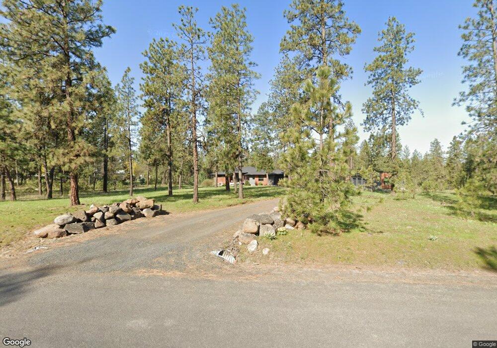
19430 S Duncan Rd Spangle, WA 99031
Estimated Value: $862,000 - $1,014,000
2
Beds
2
Baths
2,323
Sq Ft
$412/Sq Ft
Est. Value
About This Home
This home is located at 19430 S Duncan Rd, Spangle, WA 99031 and is currently estimated at $958,064, approximately $412 per square foot. 19430 S Duncan Rd is a home with nearby schools including Liberty Elementary/Junior High School and Liberty High School.
Ownership History
Date
Name
Owned For
Owner Type
Purchase Details
Closed on
Jan 20, 2016
Sold by
Scott Lonnie V and Scott Janis
Bought by
Bolton Joshua M and Bolton Melissa J
Current Estimated Value
Home Financials for this Owner
Home Financials are based on the most recent Mortgage that was taken out on this home.
Original Mortgage
$46,400
Outstanding Balance
$2,009
Interest Rate
5.7%
Mortgage Type
Adjustable Rate Mortgage/ARM
Estimated Equity
$956,055
Purchase Details
Closed on
Apr 14, 2015
Sold by
Williams Timothy N and Williams Patricia C
Bought by
Scott Lonnie and Scott Janis
Create a Home Valuation Report for This Property
The Home Valuation Report is an in-depth analysis detailing your home's value as well as a comparison with similar homes in the area
Home Values in the Area
Average Home Value in this Area
Purchase History
| Date | Buyer | Sale Price | Title Company |
|---|---|---|---|
| Bolton Joshua M | $58,000 | First American Title Ins Co | |
| Scott Lonnie | $63,000 | Spokane County Title Company |
Source: Public Records
Mortgage History
| Date | Status | Borrower | Loan Amount |
|---|---|---|---|
| Open | Bolton Joshua M | $46,400 |
Source: Public Records
Tax History Compared to Growth
Tax History
| Year | Tax Paid | Tax Assessment Tax Assessment Total Assessment is a certain percentage of the fair market value that is determined by local assessors to be the total taxable value of land and additions on the property. | Land | Improvement |
|---|---|---|---|---|
| 2025 | $7,141 | $977,340 | $145,440 | $831,900 |
| 2024 | $7,141 | $780,790 | $144,590 | $636,200 |
| 2023 | $6,372 | $802,110 | $94,710 | $707,400 |
| 2022 | $6,204 | $781,810 | $94,710 | $687,100 |
| 2021 | $5,545 | $514,750 | $64,150 | $450,600 |
| 2020 | $5,301 | $477,350 | $64,150 | $413,200 |
| 2019 | $4,484 | $430,050 | $61,150 | $368,900 |
| 2018 | $3,374 | $274,340 | $57,440 | $216,900 |
| 2017 | $699 | $57,150 | $57,150 | $0 |
| 2016 | $640 | $57,300 | $57,300 | $0 |
| 2015 | $366 | $30,040 | $30,040 | $0 |
| 2014 | -- | $30,040 | $30,040 | $0 |
| 2013 | -- | $0 | $0 | $0 |
Source: Public Records
Map
Nearby Homes
- 102 E Cameron Rd
- 177XX S Smythe Rd
- 18616 S Smythe Rd
- 21608 S Mill Rd
- 4408 E Spangle Creek Rd
- 20xxx S Parker Rd
- 15010 S Stentz Rd
- 2207 W Depot Springs Rd
- Lot 2 Nka Cheney Spangle Rd Unit Parcel 32085.9041
- 1323 W Paradise Rd
- 16621 S Sherman Rd
- 1112 E Jennings Rd
- 17305 S Blasted Ln
- 17621 S Lois Dr
- 13417 S Bluegrouse Ln
- 1305 E Wildflower Ln
- 18711 S Aspen Meadows Dr
- 16771 S Sherman Rd
- 1607 E Wildflower Ln
- NNA S Serenity Ln
- 19510 S Duncan Rd
- 19312 S Duncan Rd
- 19507 S Duncan Rd
- 19425 S Duncan Rd
- 19315 S Duncan Rd
- 1821 E Smythe Rd
- 19607 S Duncan Rd
- 1711 E Smythe Rd
- 19705 S Duncan Rd
- 1611 E Smythe Rd
- 19300 S Duncan Rd
- 1906 E Smythe Rd
- 1515 E Smythe Rd
- 19630 S Sunny Meadow Ln
- 2009 E Smythe Rd
- 19815 S Chrysler Rd
- 19622 S Sunny Meadow Ln
- 20208 S Spangle Creek Rd
- 2010 E Smythe Rd
- 2018 E Smythe Rd