19431 Florence Cir Richmond, MN 56368
Estimated Value: $551,000 - $690,000
3
Beds
2
Baths
2,664
Sq Ft
$239/Sq Ft
Est. Value
About This Home
This home is located at 19431 Florence Cir, Richmond, MN 56368 and is currently estimated at $635,499, approximately $238 per square foot. 19431 Florence Cir is a home located in Stearns County with nearby schools including Eden Valley Secondary School and Saints Peter & Paul Catholic School.
Ownership History
Date
Name
Owned For
Owner Type
Purchase Details
Closed on
Jun 15, 2020
Sold by
Priebe Brunsvold Ret
Bought by
Heap Kevin L and Heap Cynthia
Current Estimated Value
Purchase Details
Closed on
Apr 5, 2011
Sold by
Petersen Family Revocable Trust
Bought by
Priebe Brunsvold Dianne
Purchase Details
Closed on
Jan 15, 1999
Sold by
Christen Steven
Bought by
Petersen James
Purchase Details
Closed on
May 31, 1994
Sold by
Denne James and Denne Margaret
Bought by
Christen Steven and Christen Pamela
Create a Home Valuation Report for This Property
The Home Valuation Report is an in-depth analysis detailing your home's value as well as a comparison with similar homes in the area
Home Values in the Area
Average Home Value in this Area
Purchase History
| Date | Buyer | Sale Price | Title Company |
|---|---|---|---|
| Heap Kevin L | $473,500 | None Available | |
| Priebe Brunsvold Dianne | $360,850 | -- | |
| Petersen James | $181,000 | -- | |
| Christen Steven | $145,000 | -- |
Source: Public Records
Tax History Compared to Growth
Tax History
| Year | Tax Paid | Tax Assessment Tax Assessment Total Assessment is a certain percentage of the fair market value that is determined by local assessors to be the total taxable value of land and additions on the property. | Land | Improvement |
|---|---|---|---|---|
| 2025 | $5,286 | $585,900 | $246,500 | $339,400 |
| 2024 | $5,286 | $596,000 | $246,400 | $349,600 |
| 2023 | $5,004 | $568,800 | $231,900 | $336,900 |
| 2022 | $4,236 | $420,400 | $187,400 | $233,000 |
| 2021 | $3,970 | $420,400 | $187,400 | $233,000 |
| 2020 | $3,966 | $380,700 | $187,400 | $193,300 |
| 2019 | $3,262 | $375,500 | $187,400 | $188,100 |
| 2018 | $3,210 | $291,000 | $151,100 | $139,900 |
| 2017 | $2,922 | $275,000 | $141,900 | $133,100 |
| 2016 | $3,008 | $0 | $0 | $0 |
| 2015 | $3,014 | $0 | $0 | $0 |
| 2014 | -- | $0 | $0 | $0 |
Source: Public Records
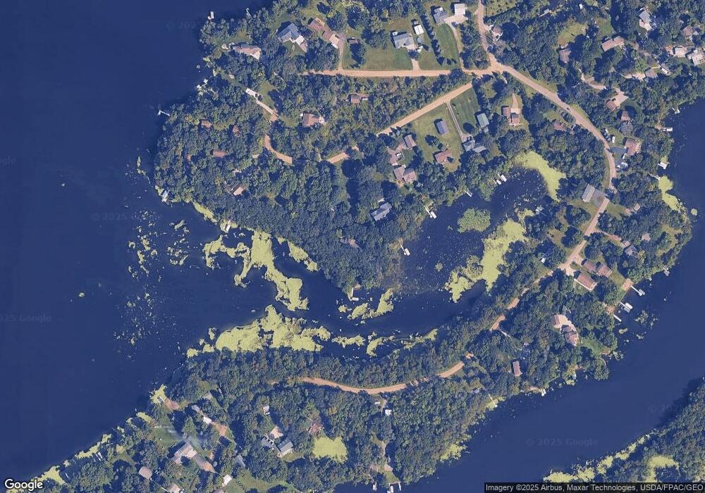
Map
Nearby Homes
- 21312 State Highway 22 Unit 25
- 21312 State Highway 22 #4
- 22296 Hall Ave SW
- 22579 Fordham Rd
- XXX Eastfield Dr
- 153 Central Ave S
- 205 Grant Ave SW
- 464 Main St E
- 448 1st St NE
- 20554 Elkview Ct
- 148 Main St W
- 261 Main St W
- 20556 Elkview Rd
- 20404 Elkview Rd
- 577 Main St W
- 22314 Mallard Ct
- 101 Barry Loop NW
- 21107 State Highway 23
- 724 4th St NW
- 17473 Fairway Cir
- 19445 Florence Cir
- 19413 Florence Cir
- 19469 Florence Cir
- 19409 Florence Cir
- 19456 Florence Cir
- 19487 Florence Cir
- 19505 Florence Cir
- 19387 Florence Cir
- 19375 Florence Cir
- 19565 Florence Cir
- 19533 Florence Cir
- 19573 Florence Cir
- 19551 Florence Cir
- 19527 Florence Cir
- 19527 Florence Cir
- 19363 Florence Cir
- 21561 Forest Hill Rd
- 21771 Forest Hill Rd
- 21488 Forest Hill Rd
- 21475 Forest Hill Rd