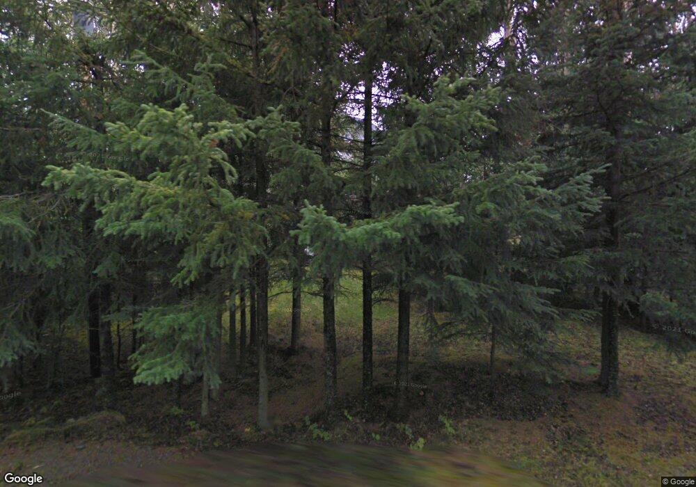
19431 Rustys Way Cooper Landing, AK
Estimated Value: $458,000
4
Beds
2
Baths
2,142
Sq Ft
$214/Sq Ft
Est. Value
About This Home
This home is located at 19431 Rustys Way, Cooper Landing, AK and is currently estimated at $458,000, approximately $213 per square foot. 19431 Rustys Way is a home located in Kenai Peninsula Borough with nearby schools including Sterling Elementary School, Skyview Middle School, and Soldotna High School.
Ownership History
Date
Name
Owned For
Owner Type
Purchase Details
Closed on
Jan 9, 2025
Sold by
Rogers Julie A
Bought by
Rogers Julie A and Rogers Marypat Montana
Current Estimated Value
Purchase Details
Closed on
May 31, 2007
Sold by
Peterson John E and Peterson Colleen
Bought by
Gieringer Robert
Purchase Details
Closed on
Sep 25, 2003
Sold by
Jones Harold Brent
Bought by
Peterson John E and Peterson Colleen
Home Financials for this Owner
Home Financials are based on the most recent Mortgage that was taken out on this home.
Original Mortgage
$142,125
Interest Rate
2.87%
Mortgage Type
Purchase Money Mortgage
Create a Home Valuation Report for This Property
The Home Valuation Report is an in-depth analysis detailing your home's value as well as a comparison with similar homes in the area
Home Values in the Area
Average Home Value in this Area
Purchase History
| Date | Buyer | Sale Price | Title Company |
|---|---|---|---|
| Rogers Julie A | -- | None Listed On Document | |
| Rogers Julie A | -- | None Listed On Document | |
| Gieringer Robert | -- | None Available | |
| Peterson John E | -- | First American Title Of Alas |
Source: Public Records
Mortgage History
| Date | Status | Borrower | Loan Amount |
|---|---|---|---|
| Previous Owner | Peterson John E | $142,125 |
Source: Public Records
Tax History Compared to Growth
Tax History
| Year | Tax Paid | Tax Assessment Tax Assessment Total Assessment is a certain percentage of the fair market value that is determined by local assessors to be the total taxable value of land and additions on the property. | Land | Improvement |
|---|---|---|---|---|
| 2025 | $1,893 | $348,800 | $77,400 | $271,400 |
| 2024 | $946 | $332,100 | $77,400 | $254,700 |
| 2023 | $2,010 | $352,700 | $70,400 | $282,300 |
| 2022 | $2,126 | $360,400 | $54,100 | $306,300 |
| 2021 | $1,778 | $341,900 | $48,300 | $293,600 |
| 2020 | $1,972 | $323,200 | $39,800 | $283,400 |
| 2019 | $1,959 | $321,200 | $39,800 | $281,400 |
| 2018 | $1,778 | $291,500 | $34,600 | $256,900 |
| 2017 | $1,627 | $275,800 | $34,600 | $241,200 |
| 2016 | $1,628 | $275,900 | $34,600 | $241,300 |
| 2015 | $1,233 | $205,300 | $34,600 | $170,700 |
| 2014 | $1,233 | $203,000 | $34,600 | $168,400 |
Source: Public Records
Map
Nearby Homes
- 37950 Snug Harbor Rd
- 18095 Langille Rd
- 17881 Sterling Hwy
- 34790 Blakley Dr
- 34790 Blakley Dr
- 34991 Little Jim Cir
- 48550 Seward Hwy
- L10 B6 Caribou Island
- 13925 Ravenquest Ave
- 33780 Bear Lake Rd
- 34008 Orlander Ave
- 32693 Caines Head Rd
- 13178 Bruno Rd
- L5A-3 Maximilian Dr
- 32945 Melanie Ln
- 32693 Wizard Ave
- 12492 Camelot Dr
- 12153 Excaliber Way
- 12286 Lancelot Dr
- 12265 Lancelot Dr
- 19431 Rusty's Way
- 2 Lots Rustys Way
- 35080 Lake Shore Ln
- 19385 Rusty's Way
- L20&21 Snug Harbor
- 37926 Snug Harbor Rd
- 37886 Snug Harbor Rd
- 19434 Rusty's Way
- 19418 Rusty's Way
- 35077 Shackleford Ln
- 19464 Rusty's Way
- 37884 Snug Harbor Rd
- 19378 Rusty's Way
- 35085 Lake Shore Ln
- 38042 Snug Harbor Rd
- 19325 Holben Ln
- 19350 Rustys Way
- 37992 Snug Harbor Rd
- 37977 Snug Harbor Rd
- 35208 Lake Shore Ln
