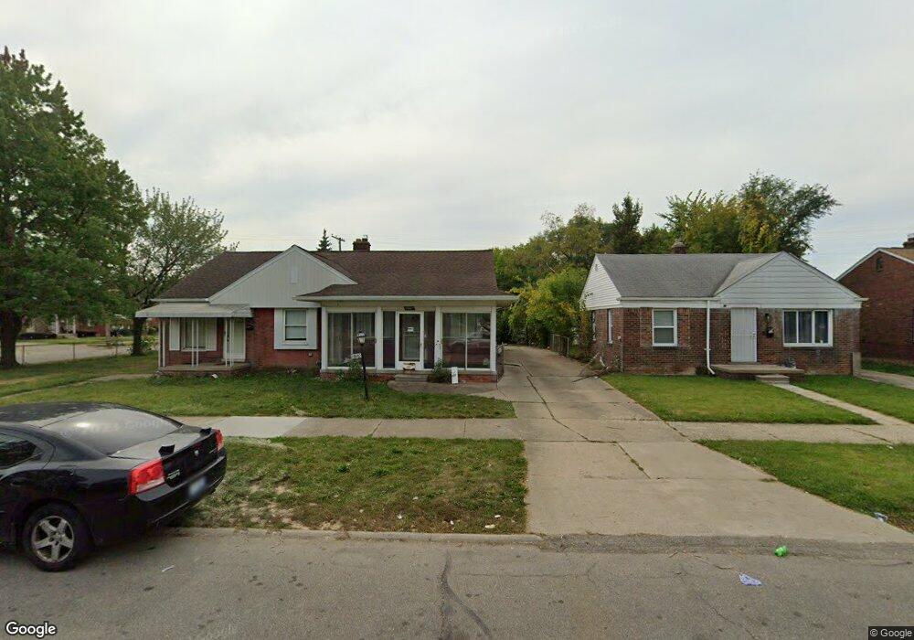
19432 Moross Rd Detroit, MI 48224
Moross-Morang NeighborhoodEstimated Value: $53,000 - $72,000
2
Beds
1
Bath
722
Sq Ft
$89/Sq Ft
Est. Value
About This Home
This home is located at 19432 Moross Rd, Detroit, MI 48224 and is currently estimated at $64,448, approximately $89 per square foot. 19432 Moross Rd is a home located in Wayne County with nearby schools including Carleton Elementary School, Edward 'Duke' Ellington Conservatory of Music and Art, and Charles L. Spain Elementary-Middle School.
Ownership History
Date
Name
Owned For
Owner Type
Purchase Details
Closed on
May 13, 2021
Sold by
Detroit Land Bank Authority
Bought by
Iheart Realty Foundation Inc
Current Estimated Value
Purchase Details
Closed on
Jan 13, 2016
Sold by
Wayne County Treasurer
Bought by
Detroit Land Bank Authority
Purchase Details
Closed on
Oct 22, 2012
Sold by
Krajewska Geraldine Joan and Abrams Charles A
Bought by
Abrams Charles A and Abrams Todd Patrick
Create a Home Valuation Report for This Property
The Home Valuation Report is an in-depth analysis detailing your home's value as well as a comparison with similar homes in the area
Home Values in the Area
Average Home Value in this Area
Purchase History
| Date | Buyer | Sale Price | Title Company |
|---|---|---|---|
| Iheart Realty Foundation Inc | $1,500 | None Available | |
| Detroit Land Bank Authority | -- | None Available | |
| Abrams Charles A | -- | None Available |
Source: Public Records
Tax History Compared to Growth
Tax History
| Year | Tax Paid | Tax Assessment Tax Assessment Total Assessment is a certain percentage of the fair market value that is determined by local assessors to be the total taxable value of land and additions on the property. | Land | Improvement |
|---|---|---|---|---|
| 2025 | $1,537 | $26,200 | $0 | $0 |
| 2024 | $1,537 | $23,900 | $0 | $0 |
| 2023 | $1,493 | $18,500 | $0 | $0 |
| 2022 | $1,595 | $15,500 | $0 | $0 |
| 2021 | $2,898 | $0 | $0 | $0 |
| 2020 | $0 | $0 | $0 | $0 |
| 2019 | $1,231 | $0 | $0 | $0 |
| 2018 | $0 | $0 | $0 | $0 |
| 2017 | $1,300 | $0 | $0 | $0 |
| 2016 | $240 | $13,000 | $0 | $0 |
| 2015 | $1,300 | $13,000 | $0 | $0 |
| 2013 | $1,746 | $18,083 | $0 | $0 |
| 2010 | -- | $26,512 | $1,163 | $25,349 |
Source: Public Records
Map
Nearby Homes
- 11959 Roxbury St
- 19415 Moross Rd
- 12010 Lakepointe St
- 11908 Roxbury St
- 12025 Lakepointe St
- 19443 Mccormick St
- 19331 Mccormick St
- 12096 Rossiter St
- 19242 Moross Rd
- 19182 Beaconsfield St
- 11764 Beaconsfield St
- 19710 Moross Rd
- 11912 Lakepointe St
- 19196 Mccormick St
- 19205 Mccormick St
- 19331 Kingsville St
- 11734 Beaconsfield St
- 11726 Beaconsfield St
- 19257 Beaconsfield St
- 19397 Washtenaw St
- 19442 Moross Rd
- 19424 Moross Rd
- 19414 Moross Rd
- 19446 Moross Rd
- 0 Moross Rd Unit R2220008915
- 0 Moross Rd Unit G31192822
- 0 Moross Rd Unit R214043639
- 0 Moross Rd Unit R2210013786
- 0 Moross Rd Unit R2210072711
- 0 Moross Rd Unit R2210073705
- 0 Moross Rd Unit R2210075107
- 12036 Lakepointe St
- 11951 Roxbury St
- 19404 Moross Rd
- 12028 Lakepointe St
- 11941 Roxbury St
- 12020 Lakepointe St
- 19506 Moross Rd
- 11933 Roxbury St
- 19510 Moross Rd