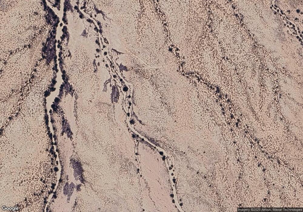
1944 E Double k Dr Safford, AZ 85546
Estimated Value: $332,000 - $489,038
Studio
--
Bath
3,332
Sq Ft
$127/Sq Ft
Est. Value
About This Home
This home is located at 1944 E Double k Dr, Safford, AZ 85546 and is currently estimated at $423,260, approximately $127 per square foot. 1944 E Double k Dr is a home with nearby schools including Dorothy Stinson School, Ruth Powell Elementary School, and Lafe Nelson School.
Ownership History
Date
Name
Owned For
Owner Type
Purchase Details
Closed on
Jan 20, 2022
Sold by
Elders Edward Dwayne and Elders Carol A
Bought by
Dwayne & Carol Elders Living Trust and Elders
Current Estimated Value
Purchase Details
Closed on
Jul 11, 2018
Sold by
The United States Of America
Bought by
Dwaye Edward and Elders Carol A
Purchase Details
Closed on
Apr 26, 2018
Sold by
Willey Dustin Lane and Willey Jennifer Michelle
Bought by
United States Of America
Create a Home Valuation Report for This Property
The Home Valuation Report is an in-depth analysis detailing your home's value as well as a comparison with similar homes in the area
Purchase History
| Date | Buyer | Sale Price | Title Company |
|---|---|---|---|
| Dwayne & Carol Elders Living Trust | -- | None Listed On Document | |
| Dwaye Edward | $117,000 | Pioneer Title Agency | |
| United States Of America | $250,570 | Security Title Agency |
Source: Public Records
Tax History
| Year | Tax Paid | Tax Assessment Tax Assessment Total Assessment is a certain percentage of the fair market value that is determined by local assessors to be the total taxable value of land and additions on the property. | Land | Improvement |
|---|---|---|---|---|
| 2026 | $1,964 | -- | -- | -- |
| 2025 | $1,964 | $28,865 | $8,642 | $20,223 |
| 2024 | $2,086 | $25,836 | $6,744 | $19,092 |
| 2023 | $2,086 | $20,579 | $6,349 | $14,230 |
| 2022 | $2,017 | $17,824 | $4,974 | $12,850 |
| 2021 | $2,139 | $0 | $0 | $0 |
| 2020 | $2,199 | $0 | $0 | $0 |
| 2019 | $3,542 | $0 | $0 | $0 |
| 2018 | $3,264 | $0 | $0 | $0 |
| 2017 | $2,703 | $0 | $0 | $0 |
| 2016 | $2,176 | $0 | $0 | $0 |
| 2015 | $2,072 | $0 | $0 | $0 |
Source: Public Records
Map
Nearby Homes
- APN# 103-22-018
- tbd Tbd
- 3686 US Hwy 191
- 3354 S Us Highway 191
- 5374 S Emory Rd
- 5696 Stardust Ln
- 5256 S Us Hwy 191 Lot 1 -- Unit 1
- 3735 E Nightstar Ln
- 5256 U S 191 Unit 5
- 2177 S Shannon Rd
- 2582 E Nelson Place Unit 20
- 4408 S 12th Ave
- 1075 S Gila Dr
- 121 E Montana Way
- 8th and Discovery --
- 1601 E 68th Place
- 475 W 24th St
- 1548 S Montierth Ln
- 2555 S 8th Ave
- 0 No Address Available Unknown Unit 22424757
Your Personal Tour Guide
Ask me questions while you tour the home.
