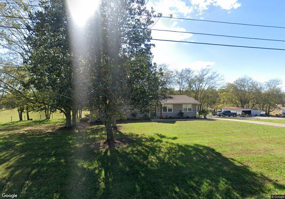
1944 Highway 82 S Shelbyville, TN 37160
Estimated Value: $300,000 - $495,505
--
Bed
2
Baths
1,728
Sq Ft
$227/Sq Ft
Est. Value
About This Home
This home is located at 1944 Highway 82 S, Shelbyville, TN 37160 and is currently estimated at $392,835, approximately $227 per square foot. 1944 Highway 82 S is a home located in Bedford County with nearby schools including Liberty Elementary School.
Ownership History
Date
Name
Owned For
Owner Type
Purchase Details
Closed on
Nov 27, 2019
Sold by
Parker Hugh H
Bought by
Mcgee Isaac and Smith Laura Keely
Current Estimated Value
Home Financials for this Owner
Home Financials are based on the most recent Mortgage that was taken out on this home.
Original Mortgage
$285,000
Outstanding Balance
$250,727
Interest Rate
3.6%
Mortgage Type
New Conventional
Estimated Equity
$142,108
Purchase Details
Closed on
Apr 11, 2003
Sold by
Parker Hugh H and Parker Frances S
Bought by
Harris Annie T
Purchase Details
Closed on
Apr 22, 1969
Bought by
Parker Hugh H and Parker Frances
Create a Home Valuation Report for This Property
The Home Valuation Report is an in-depth analysis detailing your home's value as well as a comparison with similar homes in the area
Home Values in the Area
Average Home Value in this Area
Purchase History
| Date | Buyer | Sale Price | Title Company |
|---|---|---|---|
| Mcgee Isaac | $170,000 | None Available | |
| Harris Annie T | $6,500 | -- | |
| Parker Hugh H | -- | -- |
Source: Public Records
Mortgage History
| Date | Status | Borrower | Loan Amount |
|---|---|---|---|
| Open | Mcgee Isaac | $285,000 |
Source: Public Records
Tax History Compared to Growth
Tax History
| Year | Tax Paid | Tax Assessment Tax Assessment Total Assessment is a certain percentage of the fair market value that is determined by local assessors to be the total taxable value of land and additions on the property. | Land | Improvement |
|---|---|---|---|---|
| 2025 | $1,284 | $55,200 | $0 | $0 |
| 2024 | $1,284 | $55,200 | $26,325 | $28,875 |
| 2023 | $1,284 | $55,200 | $26,325 | $28,875 |
| 2022 | $1,284 | $55,200 | $26,325 | $28,875 |
| 2021 | $1,085 | $55,200 | $26,325 | $28,875 |
| 2020 | $979 | $55,200 | $26,325 | $28,875 |
| 2019 | $979 | $80,125 | $64,950 | $15,175 |
| 2018 | $942 | $36,800 | $21,625 | $15,175 |
| 2017 | $942 | $36,800 | $21,625 | $15,175 |
| 2016 | $927 | $36,800 | $0 | $0 |
| 2015 | $927 | $36,800 | $0 | $0 |
| 2014 | $732 | $32,248 | $0 | $0 |
Source: Public Records
Map
Nearby Homes
- 176 Corder Ln
- 0 New Center Church Rd
- 506 New Center Church Rd
- 248 Old Flat Creek Rd
- 455 Himesville Rd
- 495 Himesville Rd
- 209 Gladys Dr
- 119 Crestland Cir
- 0 Himesville Rd
- 0 Overlook Ln Unit RTC2889952
- 0 Overlook Ln Unit 1513245
- 0 Overlook Ln Unit RTC3015273
- 231 Riverbend Country Club Rd
- 315 Woodland Dr
- 0 Highway 130 E
- 1519 Highway 130 E
- 201 Sulphur Springs Rd
- 128 Riverlake Rd
- 339 Riverbend Country Club Rd
- 485 Naron Rd
- 1941 Highway 82 S
- 1941 Tennessee 82
- 1953 Highway 82 S
- 1930 Highway 82 S
- 1931 Highway 82 S
- 1198 New Hope Rd
- 1196 New Hope Rd
- 1925 Highway 82 S
- 1190 New Hope Rd
- 0 Mill Rd
- 2010 Highway 82 S
- 1130 New Hope Rd
- 245 Mill Rd
- 0 Cy Thomas Rd
- 0 Cy Thomas Rd Unit RTC1921032
- 0 Cy Thomas Rd Unit 2001897
- 1131 New Hope Rd
- 1915 Highway 82 S
- 1125 New Hope Rd
- 247 Mill Rd