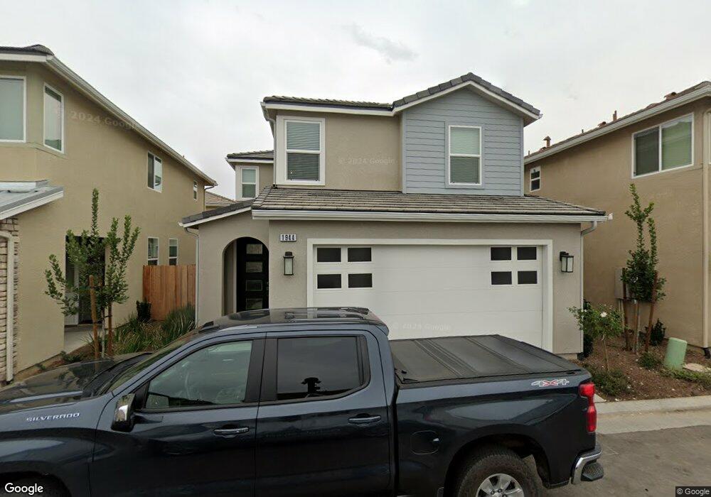
1944 Minarets Ln Clovis, CA 93611
Estimated Value: $394,030 - $443,000
3
Beds
3
Baths
1,390
Sq Ft
$300/Sq Ft
Est. Value
About This Home
This home is located at 1944 Minarets Ln, Clovis, CA 93611 and is currently estimated at $416,677, approximately $299 per square foot. 1944 Minarets Ln is a home with nearby schools including Century Elementary School, Alta Sierra Intermediate School, and Buchanan High School.
Ownership History
Date
Name
Owned For
Owner Type
Purchase Details
Closed on
Nov 15, 2023
Sold by
Oppedyk Kealy M
Bought by
Oppedyk Family Trust and Oppedyk
Current Estimated Value
Purchase Details
Closed on
Sep 6, 2023
Sold by
Oppedyk Kealy M
Bought by
Oppedyk Family Trust and Oppedyk
Purchase Details
Closed on
Jun 24, 2020
Sold by
Wilson Premier Homes Inc
Bought by
Petersen Kealy M
Home Financials for this Owner
Home Financials are based on the most recent Mortgage that was taken out on this home.
Original Mortgage
$286,304
Interest Rate
3.1%
Mortgage Type
FHA
Create a Home Valuation Report for This Property
The Home Valuation Report is an in-depth analysis detailing your home's value as well as a comparison with similar homes in the area
Home Values in the Area
Average Home Value in this Area
Purchase History
| Date | Buyer | Sale Price | Title Company |
|---|---|---|---|
| Oppedyk Family Trust | -- | None Listed On Document | |
| Oppedyk Family Trust | -- | None Listed On Document | |
| Petersen Kealy M | $296,500 | Old Republic Title Company |
Source: Public Records
Mortgage History
| Date | Status | Borrower | Loan Amount |
|---|---|---|---|
| Previous Owner | Petersen Kealy M | $286,304 |
Source: Public Records
Tax History
| Year | Tax Paid | Tax Assessment Tax Assessment Total Assessment is a certain percentage of the fair market value that is determined by local assessors to be the total taxable value of land and additions on the property. | Land | Improvement |
|---|---|---|---|---|
| 2025 | $4,258 | $320,505 | $81,181 | $239,324 |
| 2023 | $4,076 | $308,062 | $78,030 | $230,032 |
| 2022 | $4,008 | $302,022 | $76,500 | $225,522 |
| 2021 | $3,880 | $296,100 | $75,000 | $221,100 |
| 2020 | $776 | $31,922 | $31,922 | $0 |
| 2019 | $321 | $15,414 | $15,414 | $0 |
Source: Public Records
Map
Nearby Homes
- 878 N Ash Ave
- 1754 Decatur Ave
- 1977 Goshen Ave
- 2117 Goshen Ave
- 971 N Filbert Ave
- 2089 Boccioni Ln
- 1490 Fir Ave
- 367 N Raphael Ln Unit 367
- 2361 Cromwell Ave
- 338 N Filbert Ave
- 1323 Oak Ave
- 2051 Los Altos Ave
- 8220 N Fowler Ave
- 1124 Oak Ave
- 2047 Menlo Ave
- 22 N Bliss Ave
- 2051 Sierra Ave
- 1303 Jordan Ave
- 96 Burgan Ave
- 2578 Warner Ave
Your Personal Tour Guide
Ask me questions while you tour the home.