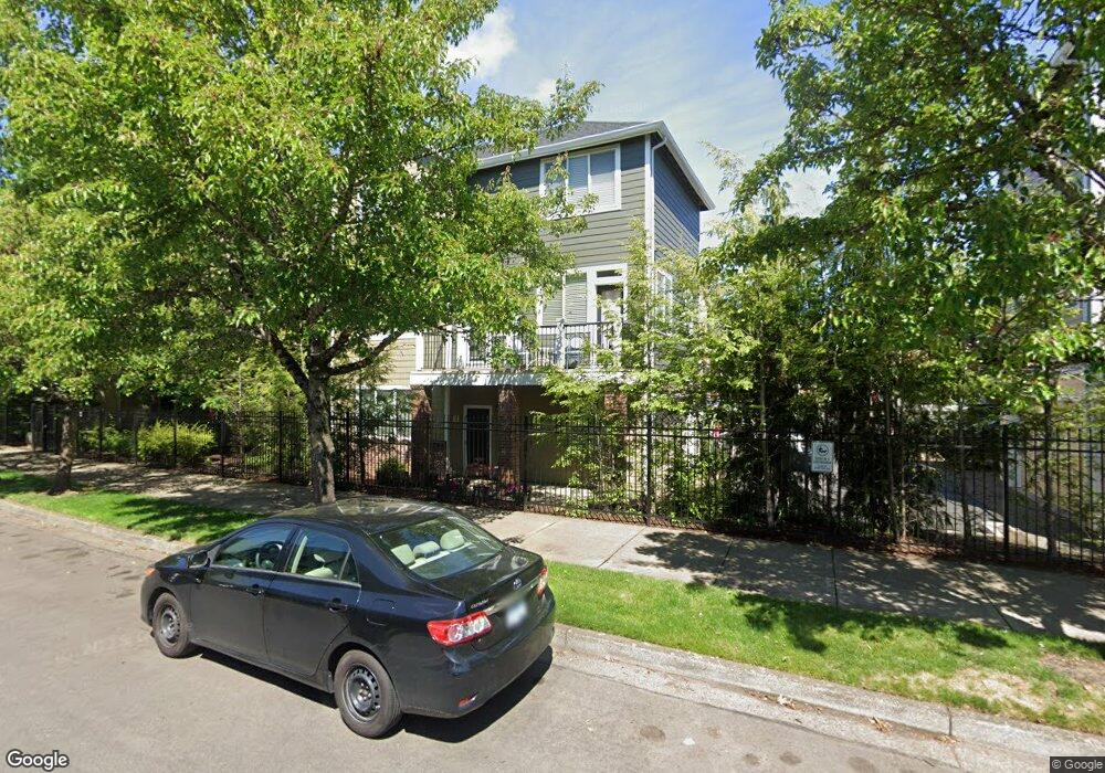
1944 NW Florence Ave Gresham, OR 97030
Northwest Gresham NeighborhoodEstimated Value: $330,000 - $372,000
3
Beds
4
Baths
1,564
Sq Ft
$221/Sq Ft
Est. Value
About This Home
This home is located at 1944 NW Florence Ave, Gresham, OR 97030 and is currently estimated at $346,016, approximately $221 per square foot. 1944 NW Florence Ave is a home located in Multnomah County with nearby schools including North Gresham Elementary School, Clear Creek Middle School, and Gresham High School.
Ownership History
Date
Name
Owned For
Owner Type
Purchase Details
Closed on
Jul 11, 2011
Sold by
Federal National Mortgage Association
Bought by
Dambrosia Edward C and Dambrosia Cindy A
Current Estimated Value
Home Financials for this Owner
Home Financials are based on the most recent Mortgage that was taken out on this home.
Original Mortgage
$102,000
Outstanding Balance
$69,720
Interest Rate
4.45%
Mortgage Type
New Conventional
Estimated Equity
$276,296
Purchase Details
Closed on
Sep 27, 2010
Sold by
West Alan W
Bought by
Federal National Mortgage Association
Purchase Details
Closed on
Oct 20, 2005
Sold by
Gresham Station Townhomes Llc
Bought by
West Alan W and West Christine A
Home Financials for this Owner
Home Financials are based on the most recent Mortgage that was taken out on this home.
Original Mortgage
$228,066
Interest Rate
5.67%
Mortgage Type
Fannie Mae Freddie Mac
Create a Home Valuation Report for This Property
The Home Valuation Report is an in-depth analysis detailing your home's value as well as a comparison with similar homes in the area
Home Values in the Area
Average Home Value in this Area
Purchase History
| Date | Buyer | Sale Price | Title Company |
|---|---|---|---|
| Dambrosia Edward C | $127,500 | Chicago Title Insurance Co | |
| Federal National Mortgage Association | $180,951 | None Available | |
| West Alan W | $240,069 | Fidelity Natl Title Co Of Or |
Source: Public Records
Mortgage History
| Date | Status | Borrower | Loan Amount |
|---|---|---|---|
| Open | Dambrosia Edward C | $102,000 | |
| Previous Owner | West Alan W | $228,066 |
Source: Public Records
Tax History
| Year | Tax Paid | Tax Assessment Tax Assessment Total Assessment is a certain percentage of the fair market value that is determined by local assessors to be the total taxable value of land and additions on the property. | Land | Improvement |
|---|---|---|---|---|
| 2025 | $4,634 | $227,700 | -- | -- |
| 2024 | $4,436 | $221,070 | -- | -- |
| 2023 | $4,041 | $214,640 | $0 | $0 |
| 2022 | $3,928 | $208,390 | $0 | $0 |
| 2021 | $3,829 | $202,330 | $0 | $0 |
| 2020 | $3,603 | $196,440 | $0 | $0 |
| 2019 | $3,509 | $190,720 | $0 | $0 |
| 2018 | $3,346 | $185,170 | $0 | $0 |
| 2017 | $3,210 | $179,780 | $0 | $0 |
| 2016 | $2,830 | $174,550 | $0 | $0 |
Source: Public Records
Map
Nearby Homes
- 21033 SE Clay Ct
- 1811 NW 19th St
- 994 NW Wallula Ave
- 2013 NW Bella Vista Dr
- 1325 NW 9th St
- 920 SE 214th Ave
- 1861 NW Wonderview Ave
- 1026 SE 209th Ave
- 21001 SE Yamhill St
- 21532 SE Alder St
- 1387 NW Riverview Ave Unit 14B
- 54 NW 13th St
- 21016 SE Stark St Unit 71
- 21016 SE Stark St Unit 69
- 1745 NW 7th Place
- 21260 SE Stark St
- 21400 SE Stark St Unit 2
- 970 NW Wonderview Ct Unit 980
- 1035 SE 225th Ave
- 21525 SE Oak St
- 1946 NW Florence Ave
- 1950 NW Florence Ave
- 1940 NW Florence Ave
- 1954 NW Florence Ave
- 1938 NW Florence Ave
- 1924 NW Florence Ave
- 1928 NW Florence Ave
- 1920 NW Florence Ave
- 858 NW Council Dr
- 1932 NW Florence Ave
- 854 NW Council Dr
- 856 NW Council Dr
- 852 NW Council Dr
- 850 NW Council Dr
- 848 NW Council Dr
- 1936 NW Florence Ave
- 1958 NW Florence Ave
- 1962 NW Florence Ave
- 1984 NW Florence Ave
- 860 NW Council Dr
Your Personal Tour Guide
Ask me questions while you tour the home.