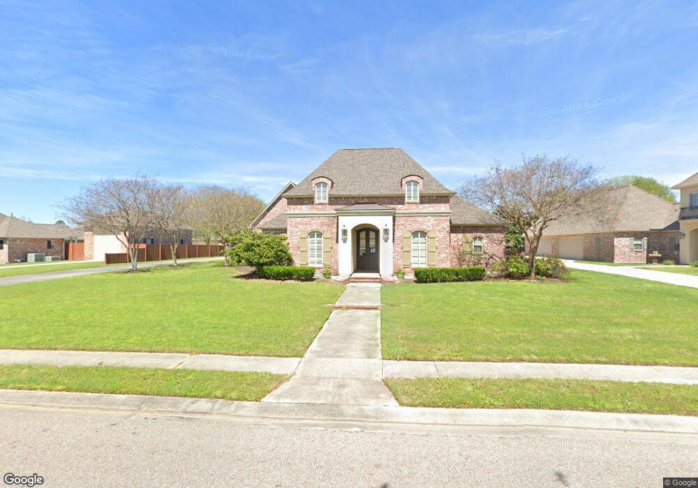
1944 Safford Blvd Port Allen, LA 70767
West Baton Rouge Parish NeighborhoodEstimated Value: $664,873 - $768,000
--
Bed
--
Bath
3,938
Sq Ft
$179/Sq Ft
Est. Value
About This Home
This home is located at 1944 Safford Blvd, Port Allen, LA 70767 and is currently estimated at $704,468, approximately $178 per square foot. 1944 Safford Blvd is a home located in West Baton Rouge Parish with nearby schools including Brusly Elementary School, Lukeville Upper Elementary School, and Brusly Middle School.
Ownership History
Date
Name
Owned For
Owner Type
Purchase Details
Closed on
May 24, 2013
Sold by
Bourgoyne Boniol John Andrew and Bourgoyne Boniol Christy
Bought by
Comeaux Darrel C and Comeaux Jacqueline Meisner
Current Estimated Value
Purchase Details
Closed on
Oct 26, 2006
Sold by
Boniol Leo J and Boniol Juliette Armand
Bought by
Bourgoyne Boniol John Andrew and Bourgoyne Boniol Christy
Home Financials for this Owner
Home Financials are based on the most recent Mortgage that was taken out on this home.
Original Mortgage
$306,500
Interest Rate
6.28%
Mortgage Type
Credit Line Revolving
Create a Home Valuation Report for This Property
The Home Valuation Report is an in-depth analysis detailing your home's value as well as a comparison with similar homes in the area
Home Values in the Area
Average Home Value in this Area
Purchase History
| Date | Buyer | Sale Price | Title Company |
|---|---|---|---|
| Comeaux Darrel C | $442,487 | Clear Title Of Baton Rouge | |
| Bourgoyne Boniol John Andrew | $37,500 | None Available |
Source: Public Records
Mortgage History
| Date | Status | Borrower | Loan Amount |
|---|---|---|---|
| Previous Owner | Bourgoyne Boniol John Andrew | $306,500 |
Source: Public Records
Tax History Compared to Growth
Tax History
| Year | Tax Paid | Tax Assessment Tax Assessment Total Assessment is a certain percentage of the fair market value that is determined by local assessors to be the total taxable value of land and additions on the property. | Land | Improvement |
|---|---|---|---|---|
| 2024 | $4,925 | $58,350 | $9,000 | $49,350 |
| 2023 | $4,641 | $52,190 | $8,500 | $43,690 |
| 2022 | $5,474 | $52,190 | $8,500 | $43,690 |
| 2021 | $5,597 | $52,190 | $8,500 | $43,690 |
| 2020 | $5,088 | $46,970 | $7,650 | $39,320 |
| 2019 | $5,016 | $44,460 | $5,470 | $38,990 |
| 2018 | $5,107 | $44,460 | $5,470 | $38,990 |
| 2017 | $4,716 | $44,460 | $5,470 | $38,990 |
| 2015 | $3,774 | $43,950 | $4,960 | $38,990 |
| 2014 | $3,713 | $43,950 | $4,960 | $38,990 |
| 2013 | $3,148 | $37,260 | $4,960 | $32,300 |
Source: Public Records
Map
Nearby Homes
- 4747 Evergreen Dr
- 2218 Silverstone Ave
- 2217 Silverstone Ave
- 1959 Fairview Ave
- 2742 Emily Dr
- 1394 Rue Riviere
- 1152 Freeman Ln
- 2488 Oak Alley Dr
- 6455 Louisiana 1
- 6312 Louisiana 1
- 526 Gwin St
- 4000 Lake Beau Pre Blvd Unit 110
- 4000 Lake Beau Pre Blvd Unit 198
- 540 Bourgeois St
- 3926 Northshore Ave
- 5565 Ducros Dr
- 3839 Southpass Ave
- 3822 Southpass Ave
- 5024 Myrtle Trail Dr
- 407 Gleason St
- 1916 Safford Blvd
- 1968 Safford Blvd
- 1825 Auguste St
- 4655 Missouri Dr
- 1957 Safford Blvd
- 1880 Safford Blvd
- 0 Missouri Dr
- 1815 Auguste St
- 1979 Safford Blvd
- 1921 Safford Blvd
- 4605 Missouri Dr
- 4704 Missouri Dr
- 1854 Safford Blvd
- 4814 Lafitte Ct
- 4658 Missouri Dr
- 4758 Missouri Dr
- 1869 Safford Blvd
- 4781 Missouri Dr
- 1855 Auguste St
- 4772 Missouri Dr