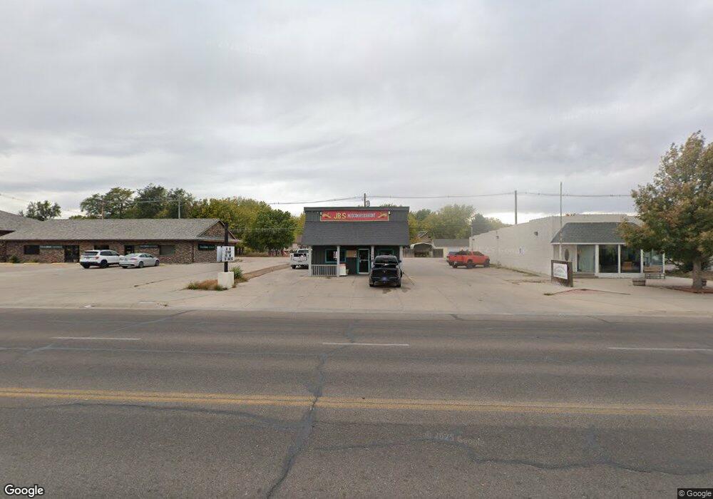
1945 10th St Unit RWMC and COOP Locati Gering, NE 69341
Estimated Value: $164,921
--
Bed
--
Bath
1,104
Sq Ft
$149/Sq Ft
Est. Value
About This Home
This home is located at 1945 10th St Unit RWMC and COOP Locati, Gering, NE 69341 and is currently estimated at $164,921, approximately $149 per square foot. 1945 10th St Unit RWMC and COOP Locati is a home located in Scotts Bluff County with nearby schools including Gering High School and Community Christian Elementary/Middle School.
Ownership History
Date
Name
Owned For
Owner Type
Purchase Details
Closed on
Dec 5, 2022
Sold by
Meisner Jamie and Meisner Allen
Bought by
Long Frank and Ly Youthloeng
Current Estimated Value
Home Financials for this Owner
Home Financials are based on the most recent Mortgage that was taken out on this home.
Original Mortgage
$97,375
Outstanding Balance
$85,641
Interest Rate
6.29%
Mortgage Type
Credit Line Revolving
Estimated Equity
$79,280
Purchase Details
Closed on
Jun 3, 2013
Sold by
Beals Jason D and Beals Marcie M
Bought by
Meisner Jamie
Create a Home Valuation Report for This Property
The Home Valuation Report is an in-depth analysis detailing your home's value as well as a comparison with similar homes in the area
Home Values in the Area
Average Home Value in this Area
Purchase History
| Date | Buyer | Sale Price | Title Company |
|---|---|---|---|
| Long Frank | $135,000 | Nebraska Title | |
| Meisner Jamie | $45,000 | Western Prairie Title & Escr |
Source: Public Records
Mortgage History
| Date | Status | Borrower | Loan Amount |
|---|---|---|---|
| Open | Long Frank | $97,375 |
Source: Public Records
Tax History Compared to Growth
Tax History
| Year | Tax Paid | Tax Assessment Tax Assessment Total Assessment is a certain percentage of the fair market value that is determined by local assessors to be the total taxable value of land and additions on the property. | Land | Improvement |
|---|---|---|---|---|
| 2024 | $1,396 | $80,745 | $18,900 | $61,845 |
| 2023 | $1,566 | $73,088 | $17,428 | $55,660 |
| 2022 | $1,566 | $73,088 | $17,428 | $55,660 |
| 2021 | $1,584 | $73,088 | $17,428 | $55,660 |
| 2020 | $1,593 | $73,088 | $17,428 | $55,660 |
| 2019 | $1,554 | $73,088 | $17,428 | $55,660 |
| 2018 | $1,564 | $73,088 | $17,428 | $55,660 |
| 2017 | $1,566 | $73,088 | $17,428 | $55,660 |
| 2016 | $1,526 | $76,748 | $8,750 | $67,998 |
| 2015 | $1,521 | $76,748 | $8,750 | $67,998 |
| 2014 | $1,478 | $73,510 | $8,750 | $64,760 |
| 2012 | -- | $36,526 | $8,750 | $27,776 |
Source: Public Records
Map
Nearby Homes