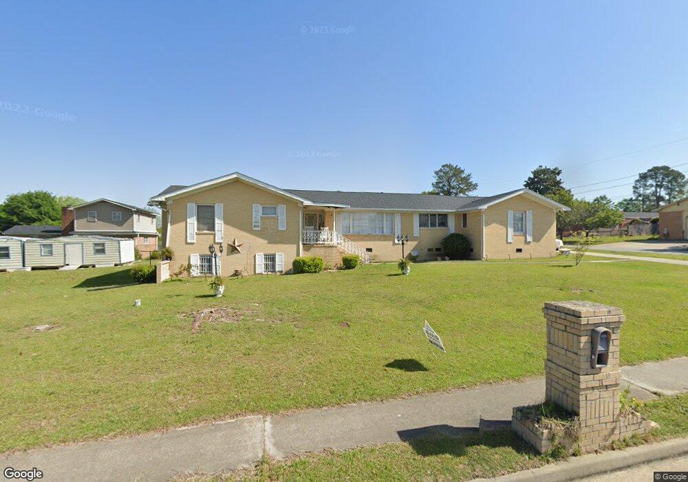
1945 Anthony Rd Macon, GA 31204
Estimated Value: $87,000 - $140,332
3
Beds
2
Baths
2,588
Sq Ft
$44/Sq Ft
Est. Value
About This Home
This home is located at 1945 Anthony Rd, Macon, GA 31204 and is currently estimated at $114,833, approximately $44 per square foot. 1945 Anthony Rd is a home located in Bibb County with nearby schools including Hartley Elementary School, Southwest High School, and Cirrus Charter Academy.
Ownership History
Date
Name
Owned For
Owner Type
Purchase Details
Closed on
May 29, 2019
Sold by
Cotton Louis
Bought by
Cotton Janice
Current Estimated Value
Purchase Details
Closed on
Sep 27, 2012
Sold by
Dunn Mattie Fonville By Exec
Bought by
Cotton Janice
Home Financials for this Owner
Home Financials are based on the most recent Mortgage that was taken out on this home.
Original Mortgage
$25,000
Interest Rate
3.64%
Mortgage Type
Purchase Money Mortgage
Purchase Details
Closed on
Nov 20, 1991
Sold by
Dunn Leon O Sr By Extrx
Bought by
Dunn Mattie Fonville
Create a Home Valuation Report for This Property
The Home Valuation Report is an in-depth analysis detailing your home's value as well as a comparison with similar homes in the area
Home Values in the Area
Average Home Value in this Area
Purchase History
| Date | Buyer | Sale Price | Title Company |
|---|---|---|---|
| Cotton Janice | -- | None Available | |
| Cotton Janice | $41,500 | -- | |
| Dunn Mattie Fonville | -- | -- |
Source: Public Records
Mortgage History
| Date | Status | Borrower | Loan Amount |
|---|---|---|---|
| Closed | Cotton Janice | $25,000 |
Source: Public Records
Tax History Compared to Growth
Tax History
| Year | Tax Paid | Tax Assessment Tax Assessment Total Assessment is a certain percentage of the fair market value that is determined by local assessors to be the total taxable value of land and additions on the property. | Land | Improvement |
|---|---|---|---|---|
| 2025 | $1,167 | $47,496 | $2,500 | $44,996 |
| 2024 | $1,206 | $47,496 | $2,500 | $44,996 |
| 2023 | $1,206 | $47,496 | $2,500 | $44,996 |
| 2022 | $1,241 | $35,844 | $3,192 | $32,652 |
| 2021 | $1,362 | $35,844 | $3,192 | $32,652 |
| 2020 | $1,392 | $35,844 | $3,192 | $32,652 |
| 2019 | $1,403 | $35,844 | $3,192 | $32,652 |
| 2018 | $2,329 | $35,844 | $3,192 | $32,652 |
| 2017 | $1,343 | $35,844 | $3,192 | $32,652 |
| 2016 | $1,240 | $35,844 | $3,192 | $32,652 |
| 2015 | $1,755 | $35,844 | $3,192 | $32,652 |
| 2014 | $2,019 | $35,844 | $3,192 | $32,652 |
Source: Public Records
Map
Nearby Homes
- 808 Patton Ave
- 800 Patton Ave
- 815 Edwards Ave
- 736 Key St
- 742 Grayson Ave
- 777 Grosso Ave
- 755 Grosso Ave
- 646 Straight St
- 1545 Anthony Rd
- 2249 Lowe St
- 710 Poppy Ave
- 2350 Anthony Terrace
- 576 Pansy Ave
- 210 Moseley Ave
- 1049 Anthony Rd
- 1045 Anthony Rd
- 430 Daffodil St
- 2125 Cedar Ave
- 391 Grosso Ave
- 348 Hortman Ave
- 871 Woodard Ave
- 1851 Anthony Rd
- 880 Woodard Ave
- 858 Patton Ave
- 872 Woodard Ave
- 857 Woodard Ave
- 1805 Anthony Rd
- 875 Edward Ave
- 875 Edwards Ave
- 864 Woodard Ave
- 867 Edward Ave
- 833 Woodard Ave
- 853 Edward Ave
- 841 Edwards Ave
- 841 Edward Ave
- 829 Woodard Ave
- 834 Woodard Ave
- 831 Patton Ave
- 833 Edward Ave
- 1797 Anthony Rd