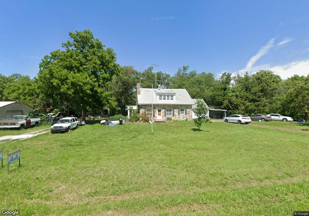
1945 Burlingame Rd Emporia, KS 66801
Estimated Value: $201,000 - $284,587
3
Beds
2
Baths
1,408
Sq Ft
$175/Sq Ft
Est. Value
About This Home
This home is located at 1945 Burlingame Rd, Emporia, KS 66801 and is currently estimated at $246,862, approximately $175 per square foot. 1945 Burlingame Rd is a home located in Lyon County with nearby schools including Timmerman Elementary School, Emporia Middle School, and Emporia High School.
Ownership History
Date
Name
Owned For
Owner Type
Purchase Details
Closed on
Apr 1, 2011
Bought by
Morfitt Donald E
Current Estimated Value
Home Financials for this Owner
Home Financials are based on the most recent Mortgage that was taken out on this home.
Original Mortgage
$133,774
Outstanding Balance
$96,630
Interest Rate
4.86%
Mortgage Type
VA
Estimated Equity
$150,232
Create a Home Valuation Report for This Property
The Home Valuation Report is an in-depth analysis detailing your home's value as well as a comparison with similar homes in the area
Home Values in the Area
Average Home Value in this Area
Purchase History
| Date | Buyer | Sale Price | Title Company |
|---|---|---|---|
| Morfitt Donald E | -- | -- |
Source: Public Records
Mortgage History
| Date | Status | Borrower | Loan Amount |
|---|---|---|---|
| Open | Morfitt Donald E | $133,774 |
Source: Public Records
Tax History Compared to Growth
Tax History
| Year | Tax Paid | Tax Assessment Tax Assessment Total Assessment is a certain percentage of the fair market value that is determined by local assessors to be the total taxable value of land and additions on the property. | Land | Improvement |
|---|---|---|---|---|
| 2025 | $2,921 | $23,104 | $2,981 | $20,123 |
| 2024 | $2,921 | $23,600 | $2,828 | $20,772 |
| 2023 | $3,259 | $25,508 | $2,551 | $22,957 |
| 2022 | $2,583 | $21,332 | $2,408 | $18,924 |
| 2021 | $2,431 | $19,859 | $2,147 | $17,712 |
| 2020 | $2,129 | $16,487 | $2,119 | $14,368 |
| 2019 | $2,129 | $16,571 | $1,698 | $14,873 |
| 2018 | $1,958 | $15,160 | $1,674 | $13,486 |
| 2017 | $1,976 | $15,185 | $1,715 | $13,470 |
| 2016 | $2,078 | $16,007 | $2,034 | $13,973 |
| 2015 | -- | $15,019 | $3,901 | $11,118 |
| 2014 | -- | $15,031 | $3,786 | $11,245 |
Source: Public Records
Map
Nearby Homes
- 1027 Riley Ave
- 1031 Sunrise Dr
- 410 Turner Rd
- 945 Whittier St
- 424 E 13th Ave
- 1217 Exchange St
- 1830 E 6th Ave
- 811 Watson St
- 805 Watson St
- 805 Peyton St
- 712 E 9th Ave
- 500 Whildin St
- 1118 Mechanic St
- 520 Eveningside Dr
- 1001 Market St
- 1729 W Wilman Ct
- 301 W 13th Ave
- 920 Mechanic St
- 821 Union St
- 312 E 8th Ave
- 1950 Road M
- 1957 Burlingame Rd
- 1900 Road M
- 1961 Burlingame Rd
- 1967 Burlingame Rd
- 1947 Road M
- 1926 Road M
- 1953 Road M
- 1950 Burlingame Rd
- 1971 Burlingame Rd
- 1968 Road M
- 1970 Burlingame Rd
- 1216 Road 190
- 1900 Burlingame Rd
- 1955 Road M
- 1979 Burlingame Rd
- 1230 Road 190
- 1978 Burlingame Rd
- 1262 Road 190
- 1240 Road 190