1945 Elm Tree Dr Kewaskum, WI 53040
Estimated Value: $441,000 - $526,000
--
Bed
--
Bath
--
Sq Ft
6.25
Acres
About This Home
This home is located at 1945 Elm Tree Dr, Kewaskum, WI 53040 and is currently estimated at $487,579. 1945 Elm Tree Dr is a home located in Washington County with nearby schools including Kewaskum High School.
Ownership History
Date
Name
Owned For
Owner Type
Purchase Details
Closed on
May 24, 2017
Sold by
Peaslee Robert H and Peaslee Rosemary K
Bought by
Peaslee Mark R and Peaslee April L
Current Estimated Value
Home Financials for this Owner
Home Financials are based on the most recent Mortgage that was taken out on this home.
Original Mortgage
$210,101
Interest Rate
3.9%
Mortgage Type
New Conventional
Purchase Details
Closed on
Apr 2, 2014
Sold by
Peaslee Robert H and Peaslee Rosemary K
Bought by
Peaslee Joseph and Peaslee Mark
Create a Home Valuation Report for This Property
The Home Valuation Report is an in-depth analysis detailing your home's value as well as a comparison with similar homes in the area
Home Values in the Area
Average Home Value in this Area
Purchase History
| Date | Buyer | Sale Price | Title Company |
|---|---|---|---|
| Peaslee Mark R | $208,000 | Land Title Services Inc | |
| Peaslee Joseph | -- | None Available |
Source: Public Records
Mortgage History
| Date | Status | Borrower | Loan Amount |
|---|---|---|---|
| Previous Owner | Peaslee Mark R | $210,101 |
Source: Public Records
Tax History Compared to Growth
Tax History
| Year | Tax Paid | Tax Assessment Tax Assessment Total Assessment is a certain percentage of the fair market value that is determined by local assessors to be the total taxable value of land and additions on the property. | Land | Improvement |
|---|---|---|---|---|
| 2024 | $3,103 | $268,100 | $96,200 | $171,900 |
| 2023 | $3,088 | $268,100 | $96,200 | $171,900 |
| 2022 | $2,597 | $243,800 | $96,200 | $147,600 |
| 2021 | $2,730 | $243,800 | $96,200 | $147,600 |
| 2020 | $2,777 | $243,800 | $96,200 | $147,600 |
| 2019 | $2,693 | $243,800 | $96,200 | $147,600 |
| 2018 | $2,600 | $243,800 | $96,200 | $147,600 |
| 2017 | $2,651 | $243,800 | $96,200 | $147,600 |
| 2016 | $2,576 | $243,800 | $96,200 | $147,600 |
| 2015 | $2,731 | $243,900 | $96,300 | $147,600 |
| 2014 | $2,731 | $243,900 | $96,300 | $147,600 |
| 2013 | $3,057 | $243,900 | $96,300 | $147,600 |
Source: Public Records
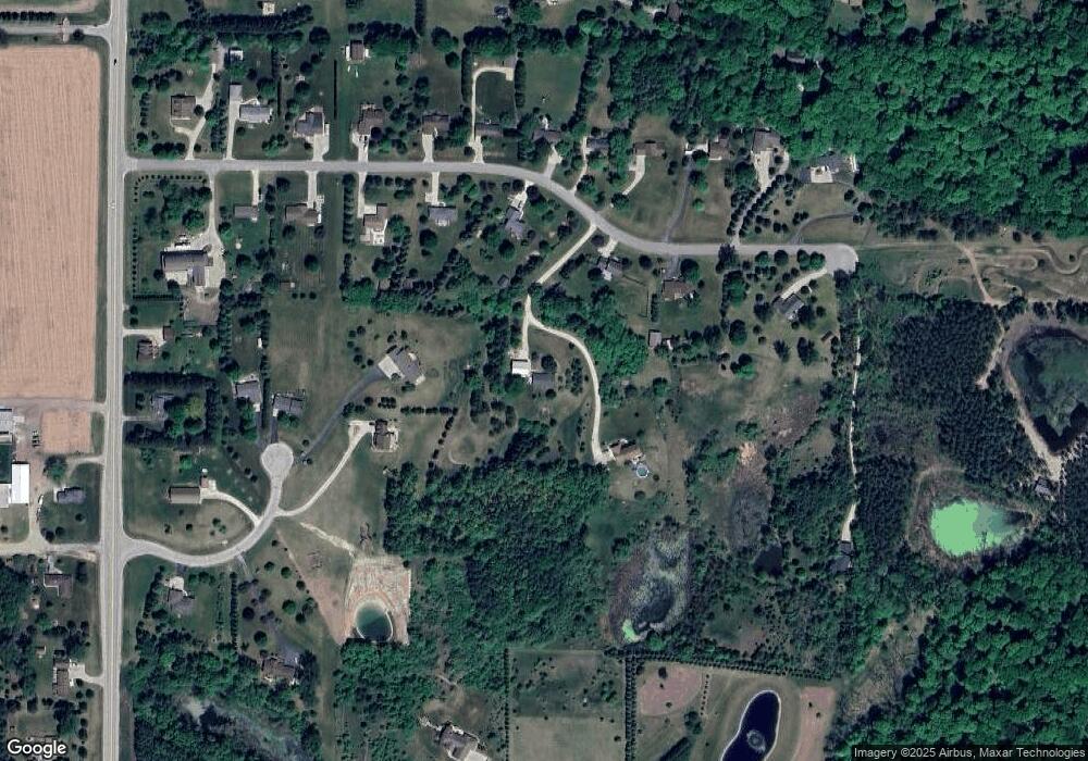
Map
Nearby Homes
- 8451 Wesley Ct
- 8623 Eagle Ridge Dr
- 7855 Indian Lore Rd
- 8605 N Salisbury Rd
- 9092 N Paradise Rd
- 2741 Shagbark Dr
- Lt0 Lakeview Rd
- 2804 Shagbark Dr
- Lt12 Maple Tree Rd
- 1324 W Green Lake Dr
- 9080 Hickory Dr
- 1266 E Green Lake Dr
- 2161 Wallace Lake Rd
- 7071 N Trenton Rd
- 2181 Wallace Lake Rd
- Lt4 Wallace Lake Rd
- 3057 Smith Lake Rd
- 7184 Pleasant Dr
- 2462 Wallace Lake Rd
- LT4 River Rd
- 1944 Elm Tree Dr
- 1964 Elm Tree Dr
- 1941 Elm Tree Dr
- 1978 Elm Tree Dr
- 1943 Elm Tree Dr
- 1927 Elm Tree Dr
- 1992 Elm Tree Dr
- 1926 Elm Tree Dr
- 2003 Elm Tree Dr
- 2010 Elm Tree Dr
- 1903 Elm Tree Dr
- 1906 Elm Tree Dr
- 2041 Elm Tree Dr
- 1900 Elm Tree Dr
- 8310 Hilltop Ln
- 8311 Hilltop Ln
- 2030 Elm Tree Dr
- 1897 Elm Tree Dr
- 8318 Hilltop Ln
- 8319 Hilltop Ln