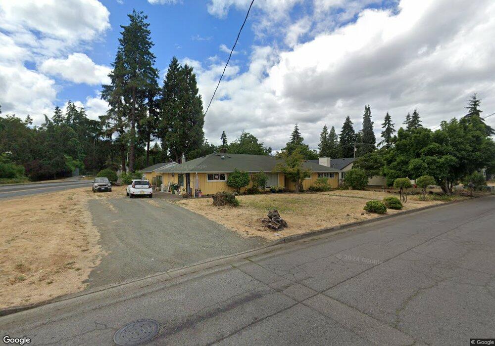
1945 Harvey Rd Cottage Grove, OR 97424
Estimated Value: $298,000 - $402,000
3
Beds
2
Baths
1,764
Sq Ft
$200/Sq Ft
Est. Value
About This Home
This home is located at 1945 Harvey Rd, Cottage Grove, OR 97424 and is currently estimated at $353,415, approximately $200 per square foot. 1945 Harvey Rd is a home located in Lane County with nearby schools including Bohemia Elementary School, Lincoln Middle School, and Cottage Grove High School.
Ownership History
Date
Name
Owned For
Owner Type
Purchase Details
Closed on
Jul 1, 2022
Sold by
Fuller Jason F
Bought by
Fuller Rebecca S
Current Estimated Value
Home Financials for this Owner
Home Financials are based on the most recent Mortgage that was taken out on this home.
Original Mortgage
$196,377
Outstanding Balance
$186,830
Interest Rate
5.09%
Mortgage Type
FHA
Estimated Equity
$166,585
Purchase Details
Closed on
Mar 11, 2021
Sold by
Fuller Jason F and Fuller Living Trust
Bought by
Fuller Jason F
Home Financials for this Owner
Home Financials are based on the most recent Mortgage that was taken out on this home.
Original Mortgage
$166,750
Interest Rate
2.7%
Mortgage Type
New Conventional
Create a Home Valuation Report for This Property
The Home Valuation Report is an in-depth analysis detailing your home's value as well as a comparison with similar homes in the area
Home Values in the Area
Average Home Value in this Area
Purchase History
| Date | Buyer | Sale Price | Title Company |
|---|---|---|---|
| Fuller Rebecca S | $200,000 | First American Title | |
| Fuller Jason F | -- | Fidelity Natl Ttl Co Of Or |
Source: Public Records
Mortgage History
| Date | Status | Borrower | Loan Amount |
|---|---|---|---|
| Open | Fuller Rebecca S | $196,377 | |
| Previous Owner | Fuller Jason F | $166,750 |
Source: Public Records
Tax History Compared to Growth
Tax History
| Year | Tax Paid | Tax Assessment Tax Assessment Total Assessment is a certain percentage of the fair market value that is determined by local assessors to be the total taxable value of land and additions on the property. | Land | Improvement |
|---|---|---|---|---|
| 2024 | $3,783 | $206,209 | -- | -- |
| 2023 | $3,783 | $200,203 | $0 | $0 |
| 2022 | $3,556 | $194,372 | $0 | $0 |
| 2021 | $3,459 | $188,711 | $0 | $0 |
| 2020 | $3,391 | $183,215 | $0 | $0 |
| 2019 | $3,209 | $177,879 | $0 | $0 |
| 2018 | $3,169 | $167,669 | $0 | $0 |
| 2017 | $3,081 | $167,669 | $0 | $0 |
| 2016 | $2,996 | $162,785 | $0 | $0 |
| 2015 | $2,649 | $158,044 | $0 | $0 |
| 2014 | $2,615 | $153,441 | $0 | $0 |
Source: Public Records
Map
Nearby Homes
- 0 Roberts Ln Unit 3
- 0 Harvey Rd Unit 2
- 0 E Whiteaker Ave
- 1827 E Main St
- 45 Thomas Ln
- 1727 E Washington Ave
- 65 Bangle Ct
- 1716 Adams Ave
- 1140 E Chamberlain Ave
- 0 Chamberlain
- 2187 E Madison Ave
- 1141 Thayer Ave
- 1490 Carobelle Ct
- 1048 Pennoyer Ave
- 1028 E Grover Ave
- 243 N Lane St
- 33099 Foster Rd
- 808 N 10th St
- 316 N 9th St
- 0 Landess Rd