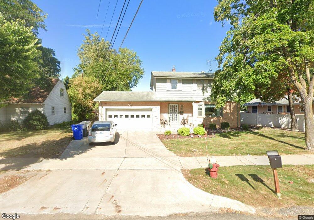
1945 Upper Afton Rd E Saint Paul, MN 55119
Battle Creek NeighborhoodEstimated Value: $315,253 - $382,000
4
Beds
2
Baths
2,514
Sq Ft
$139/Sq Ft
Est. Value
About This Home
This home is located at 1945 Upper Afton Rd E, Saint Paul, MN 55119 and is currently estimated at $348,813, approximately $138 per square foot. 1945 Upper Afton Rd E is a home located in Ramsey County with nearby schools including Battle Creek Elementary School, Battle Creek Middle School, and Harding Senior High School.
Ownership History
Date
Name
Owned For
Owner Type
Purchase Details
Closed on
Feb 26, 2015
Current Estimated Value
Home Financials for this Owner
Home Financials are based on the most recent Mortgage that was taken out on this home.
Original Mortgage
$500,000
Outstanding Balance
$384,639
Interest Rate
3.8%
Estimated Equity
-$35,826
Purchase Details
Closed on
May 12, 2014
Sold by
Kraut Laurine A
Bought by
Genco Holdings Llc
Create a Home Valuation Report for This Property
The Home Valuation Report is an in-depth analysis detailing your home's value as well as a comparison with similar homes in the area
Home Values in the Area
Average Home Value in this Area
Purchase History
| Date | Buyer | Sale Price | Title Company |
|---|---|---|---|
| -- | $500,000 | -- | |
| Genco Holdings Llc | $206,060 | Booth Title Group Llc | |
| -- | $200,000 | -- |
Source: Public Records
Mortgage History
| Date | Status | Borrower | Loan Amount |
|---|---|---|---|
| Open | -- | $500,000 |
Source: Public Records
Tax History
| Year | Tax Paid | Tax Assessment Tax Assessment Total Assessment is a certain percentage of the fair market value that is determined by local assessors to be the total taxable value of land and additions on the property. | Land | Improvement |
|---|---|---|---|---|
| 2025 | $4,938 | $321,800 | $33,900 | $287,900 |
| 2023 | $4,938 | $317,000 | $33,900 | $283,100 |
| 2022 | $4,348 | $309,300 | $33,900 | $275,400 |
| 2021 | $3,748 | $266,600 | $32,000 | $234,600 |
| 2020 | $3,804 | $237,300 | $32,000 | $205,300 |
| 2019 | $4,028 | $223,900 | $32,000 | $191,900 |
| 2018 | $3,584 | $233,700 | $32,000 | $201,700 |
| 2017 | $3,290 | $213,100 | $28,200 | $184,900 |
| 2016 | $3,048 | $0 | $0 | $0 |
| 2015 | $60 | $179,700 | $28,200 | $151,500 |
| 2014 | $2,884 | $0 | $0 | $0 |
Source: Public Records
Map
Nearby Homes
- 1918 Upper Afton Rd E
- 2063 N Park Dr Unit 1
- 2076 Pathways Dr Unit 1
- 120 Ruth St N Unit 1
- 51 White Bear Ave S
- 138 Ruth St N Unit 9
- 187 Valleyside Dr
- 192 Bridlewood Dr
- 2169 Glenridge Ave
- 2238 Berland Place
- 993 Kennard St N
- 1883 Garden Way
- 323 Morningside Cir
- 1629 Suburban Ave
- 371 Totem Rd
- 381 Totem Rd
- 377 Totem Rd
- 410 Totem Rd
- 1596 Mclean Ave
- 995 Kennard St
- 1945 1945 Upper Afton Rd E
- 7 7 Sandralee-Drive-w
- 7 W Sandra Lee Dr
- 1939 Upper Afton Rd E
- 1939 1939 Upper Afton Rd E
- 25 W Sandra Lee Dr
- 27 W Sandra Lee Dr
- 30 Darlene St
- 36 Darlene St
- 33 W Sandra Lee Dr
- 1967 1967 Upper Afton Rd E
- 1967 1967 Upper Afton-Road-e
- 1967 Upper Afton Rd E
- 12 W Sandra Lee Dr
- 6 W Sandra Lee Dr
- 1930 1930 Upper Afton-Road-e
- 1930 Upper Afton Rd E
- 18 W Sandra Lee Dr
- 26 W Sandra Lee Dr
- 1926 Upper Afton Rd E
Your Personal Tour Guide
Ask me questions while you tour the home.