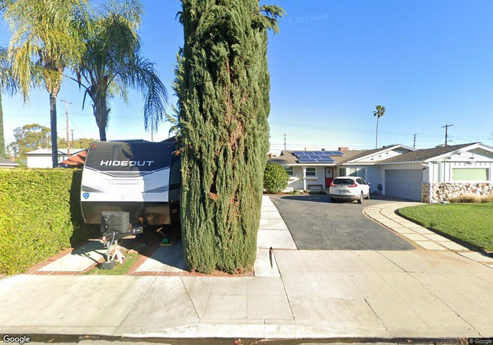
19455 Bryant St Northridge, CA 91324
Estimated Value: $893,847 - $956,000
3
Beds
2
Baths
1,612
Sq Ft
$578/Sq Ft
Est. Value
About This Home
This home is located at 19455 Bryant St, Northridge, CA 91324 and is currently estimated at $931,962, approximately $578 per square foot. 19455 Bryant St is a home located in Los Angeles County with nearby schools including Napa Street Elementary School, John A. Sutter Middle School, and Northridge Academy High.
Ownership History
Date
Name
Owned For
Owner Type
Purchase Details
Closed on
Sep 7, 2001
Sold by
Galmez Laura
Bought by
Galmez German F and Galmez Laura A
Current Estimated Value
Purchase Details
Closed on
Jul 2, 2001
Sold by
Galmez German F and Galmez Laura A
Bought by
Galmez Laura
Home Financials for this Owner
Home Financials are based on the most recent Mortgage that was taken out on this home.
Original Mortgage
$204,000
Interest Rate
7.26%
Create a Home Valuation Report for This Property
The Home Valuation Report is an in-depth analysis detailing your home's value as well as a comparison with similar homes in the area
Home Values in the Area
Average Home Value in this Area
Purchase History
| Date | Buyer | Sale Price | Title Company |
|---|---|---|---|
| Galmez German F | -- | -- | |
| Galmez Laura | -- | First American Title Ins Co |
Source: Public Records
Mortgage History
| Date | Status | Borrower | Loan Amount |
|---|---|---|---|
| Closed | Galmez Laura | $204,000 |
Source: Public Records
Tax History
| Year | Tax Paid | Tax Assessment Tax Assessment Total Assessment is a certain percentage of the fair market value that is determined by local assessors to be the total taxable value of land and additions on the property. | Land | Improvement |
|---|---|---|---|---|
| 2025 | $2,481 | $190,206 | $67,921 | $122,285 |
| 2024 | $2,481 | $186,478 | $66,590 | $119,888 |
| 2023 | $2,437 | $182,823 | $65,285 | $117,538 |
| 2022 | $2,329 | $179,239 | $64,005 | $115,234 |
| 2021 | $2,293 | $175,725 | $62,750 | $112,975 |
| 2019 | $2,227 | $170,515 | $60,890 | $109,625 |
| 2018 | $2,106 | $167,173 | $59,697 | $107,476 |
| 2016 | $1,994 | $160,683 | $57,380 | $103,303 |
| 2015 | $1,965 | $158,271 | $56,519 | $101,752 |
| 2014 | $1,980 | $155,171 | $55,412 | $99,759 |
Source: Public Records
Map
Nearby Homes
- 19545 Bryant St
- 8534 Bothwell Rd
- 8761 Corbin Ave
- 27 Essex Dr
- 19831 Gresham St
- 8626 Lubao Ave
- 19620 Roscoe Blvd Unit D
- 8620 Lubao Ave
- 8240 Chamberlain Ln
- 19918 Acre St
- 19937 Parthenia St
- 8356 Vanalden Ave
- 11 Oxford Way
- 19158 Roscoe Blvd
- 19006 Eccles St
- 8446 Penfield Ave
- 19046 Schoenborn St
- 8467 Penfield Ave
- 9000 Vanalden Ave Unit 117
- 9000 Vanalden Ave Unit 108
- 19449 Bryant St
- 19501 Bryant St
- 19443 Bryant St
- 19454 Parthenia St
- 19448 Parthenia St
- 8659 Shirley Ave
- 8624 Shirley Ave
- 19507 Bryant St
- 19500 Parthenia St
- 19440 Parthenia St
- 19446 Parthenia St
- 19500 Bryant St
- 8618 Shirley Ave
- 19508 Parthenia St
- 19434 Parthenia St
- 19515 Bryant St
- 19431 Bryant St
- 8625 Tunney Ave
- 8619 Shirley Ave
- 8612 Shirley Ave
Your Personal Tour Guide
Ask me questions while you tour the home.