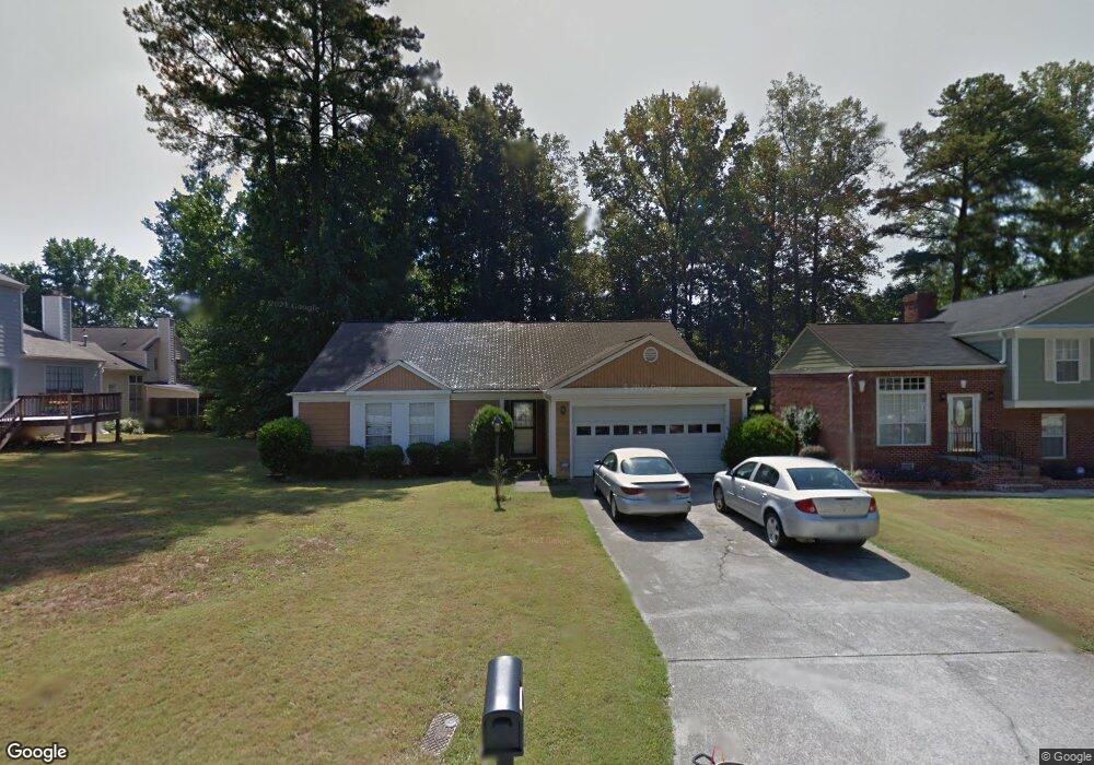
1946 Big Branch Ct Lithonia, GA 30058
Estimated Value: $213,000 - $246,000
3
Beds
2
Baths
1,499
Sq Ft
$151/Sq Ft
Est. Value
About This Home
This home is located at 1946 Big Branch Ct, Lithonia, GA 30058 and is currently estimated at $225,736, approximately $150 per square foot. 1946 Big Branch Ct is a home located in DeKalb County with nearby schools including Redan Elementary School, Lithonia Middle School, and Lithonia High School.
Ownership History
Date
Name
Owned For
Owner Type
Purchase Details
Closed on
Mar 1, 2022
Sold by
Williams Szjkou O
Bought by
Resicap Georgia Owner Ii Llc
Current Estimated Value
Purchase Details
Closed on
Dec 9, 2009
Sold by
Hud-Housing Of Urban Dev
Bought by
Williams Szkou O
Home Financials for this Owner
Home Financials are based on the most recent Mortgage that was taken out on this home.
Original Mortgage
$56,288
Interest Rate
5.01%
Mortgage Type
FHA
Purchase Details
Closed on
Dec 2, 2008
Sold by
National Cty Bk
Bought by
Secretary Of Hsng & Urban Dev/
Purchase Details
Closed on
Oct 31, 2000
Sold by
Carter Joel K
Bought by
Carter Joel K and Carter Patricia D
Home Financials for this Owner
Home Financials are based on the most recent Mortgage that was taken out on this home.
Original Mortgage
$121,900
Interest Rate
7.93%
Mortgage Type
FHA
Create a Home Valuation Report for This Property
The Home Valuation Report is an in-depth analysis detailing your home's value as well as a comparison with similar homes in the area
Home Values in the Area
Average Home Value in this Area
Purchase History
| Date | Buyer | Sale Price | Title Company |
|---|---|---|---|
| Resicap Georgia Owner Ii Llc | $173,000 | -- | |
| Williams Szkou O | -- | -- | |
| Secretary Of Hsng & Urban Dev/ | -- | -- | |
| National Cty Bk | -- | -- | |
| Carter Joel K | -- | -- |
Source: Public Records
Mortgage History
| Date | Status | Borrower | Loan Amount |
|---|---|---|---|
| Previous Owner | Williams Szkou O | $56,288 | |
| Previous Owner | Carter Joel K | $121,900 |
Source: Public Records
Tax History Compared to Growth
Tax History
| Year | Tax Paid | Tax Assessment Tax Assessment Total Assessment is a certain percentage of the fair market value that is determined by local assessors to be the total taxable value of land and additions on the property. | Land | Improvement |
|---|---|---|---|---|
| 2025 | $4,636 | $94,200 | $18,000 | $76,200 |
| 2024 | $4,521 | $92,320 | $18,000 | $74,320 |
| 2023 | $4,521 | $69,200 | $14,000 | $55,200 |
| 2022 | $1,703 | $75,400 | $10,000 | $65,400 |
| 2021 | $1,729 | $56,720 | $7,200 | $49,520 |
| 2020 | $1,571 | $50,440 | $7,200 | $43,240 |
| 2019 | $1,432 | $44,320 | $7,200 | $37,120 |
| 2018 | $1,030 | $37,600 | $7,200 | $30,400 |
| 2017 | $1,160 | $35,320 | $4,200 | $31,120 |
| 2016 | $860 | $27,400 | $4,200 | $23,200 |
| 2014 | $769 | $24,640 | $3,720 | $20,920 |
Source: Public Records
Map
Nearby Homes
- 6653 Eastbriar Dr
- 6380 Phillips Place
- 6403 Charter Way
- 6347 Princeton Ridge Dr
- 6238 Phillips Lake Ct
- 6351 Stablewood Way
- 6350 Princeton Ridge Dr
- 2041 Marbut Trace
- 6240 Giles Rd
- 6415 Shalks Crossing Dr
- 2060 Bedford Ct Unit 1
- 1884 Plainsboro Dr
- 1871 Plainsboro Dr
- 2049 Charter Ln
- 6322 Scudders Dr
- 6396 Stablewood Way
- 2107 Bedford Ct
- 6510 Charter Way
- 2191 Phillips Rd
- 6420 Marbut Rd
- 1950 Big Branch Ct
- 6654 Eastbriar Dr
- 6646 Eastbriar Dr
- 6646 Eastbriar Dr Unit 115
- 1953 Longwood Ct Unit 2
- 1947 Longwood Ct
- 1957 Longwood Ct Unit 2
- 1941 Longwood Ct Unit 2
- 1939 Big Branch Ct
- 1947 Big Branch Ct
- 1963 Longwood Ct
- 1963 Longwood Ct Unit 108
- 1958 Big Branch Ct
- 0 Longwood Ct Unit 7309927
- 1967 Longwood Ct
- 6670 Eastbriar Dr
- 6649 Eastbriar Dr
- 1951 Big Branch Ct
- 6659 Eastbriar Dr
- 6659 Eastbriar Dr Unit 2