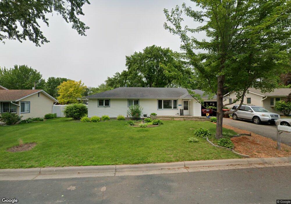
1946 Maple St Hastings, MN 55033
Hastings-Marshan Township NeighborhoodEstimated Value: $301,071 - $329,000
3
Beds
1
Bath
1,056
Sq Ft
$299/Sq Ft
Est. Value
About This Home
This home is located at 1946 Maple St, Hastings, MN 55033 and is currently estimated at $315,268, approximately $298 per square foot. 1946 Maple St is a home located in Dakota County with nearby schools including Pinecrest Elementary School, Hastings Middle School, and Hastings High School.
Ownership History
Date
Name
Owned For
Owner Type
Purchase Details
Closed on
Apr 7, 2021
Sold by
Weaver Jan Marie and Carter Jan Marie
Bought by
Weaver Jan Marie
Current Estimated Value
Home Financials for this Owner
Home Financials are based on the most recent Mortgage that was taken out on this home.
Original Mortgage
$119,500
Outstanding Balance
$107,894
Interest Rate
3%
Mortgage Type
New Conventional
Estimated Equity
$207,374
Purchase Details
Closed on
Dec 1, 2011
Sold by
Gray Jan Marie and Gray Antonio Taray
Bought by
Gray Jan Marie and Gray Antonio Taray
Purchase Details
Closed on
Jul 21, 2005
Sold by
Weaver Jon Scott and Weaver Lorena
Bought by
Bronner Jan M and Bronner Kevin
Create a Home Valuation Report for This Property
The Home Valuation Report is an in-depth analysis detailing your home's value as well as a comparison with similar homes in the area
Home Values in the Area
Average Home Value in this Area
Purchase History
| Date | Buyer | Sale Price | Title Company |
|---|---|---|---|
| Weaver Jan Marie | -- | Mortgage Connect | |
| Gray Jan Marie | -- | None Available | |
| Bronner Jan M | $86,000 | -- |
Source: Public Records
Mortgage History
| Date | Status | Borrower | Loan Amount |
|---|---|---|---|
| Open | Weaver Jan Marie | $119,500 |
Source: Public Records
Tax History
| Year | Tax Paid | Tax Assessment Tax Assessment Total Assessment is a certain percentage of the fair market value that is determined by local assessors to be the total taxable value of land and additions on the property. | Land | Improvement |
|---|---|---|---|---|
| 2024 | $3,100 | $269,500 | $69,300 | $200,200 |
| 2023 | $3,100 | $278,300 | $69,300 | $209,000 |
| 2022 | $2,478 | $262,600 | $69,200 | $193,400 |
| 2021 | $2,436 | $215,800 | $60,200 | $155,600 |
| 2020 | $2,368 | $211,200 | $57,300 | $153,900 |
| 2019 | $2,262 | $200,000 | $54,700 | $145,300 |
| 2018 | $2,096 | $183,900 | $52,100 | $131,800 |
| 2017 | $1,960 | $167,600 | $49,600 | $118,000 |
| 2016 | $1,933 | $158,200 | $46,400 | $111,800 |
| 2015 | $2,323 | $129,639 | $38,104 | $91,535 |
| 2014 | -- | $125,388 | $36,473 | $88,915 |
| 2013 | -- | $106,640 | $31,669 | $74,971 |
Source: Public Records
Map
Nearby Homes
- 1930 Maple St
- 1942 Eddy St
- 640 S Park Ct
- 864 S Park Dr
- 1680 Louis Ln
- 909 14th St W
- 1079 S Pointe Dr
- 1168 Sherman Way
- 812 13th St W
- 1321 Sibley St
- 561 Marmik Cir
- 3525 Vermillion St
- 471 Frederick Cir Unit 1503
- 532 17th St E
- 3575 Vermillion St
- 723 36th St W
- 907 Pine St
- 323 Frederick Cir Unit 701
- 1227 14th St W
- 2309 Old Bridge Ln
Your Personal Tour Guide
Ask me questions while you tour the home.