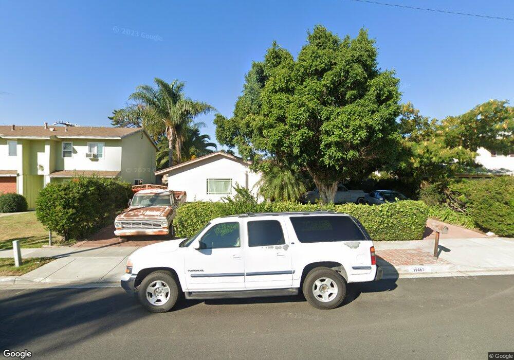
1946 Morley St Simi Valley, CA 93065
Central Simi Valley NeighborhoodEstimated Value: $651,000 - $876,000
3
Beds
2
Baths
1,205
Sq Ft
$609/Sq Ft
Est. Value
About This Home
This home is located at 1946 Morley St, Simi Valley, CA 93065 and is currently estimated at $733,741, approximately $608 per square foot. 1946 Morley St is a home located in Ventura County with nearby schools including Berylwood Elementary School, Hillside Middle School, and Royal High School.
Ownership History
Date
Name
Owned For
Owner Type
Purchase Details
Closed on
Nov 30, 1993
Sold by
Pittman Robert Chandler and Pittman Shirley E
Bought by
Macias Gonzalo and Macias Graciela
Current Estimated Value
Home Financials for this Owner
Home Financials are based on the most recent Mortgage that was taken out on this home.
Original Mortgage
$149,556
Interest Rate
7.1%
Mortgage Type
FHA
Create a Home Valuation Report for This Property
The Home Valuation Report is an in-depth analysis detailing your home's value as well as a comparison with similar homes in the area
Home Values in the Area
Average Home Value in this Area
Purchase History
| Date | Buyer | Sale Price | Title Company |
|---|---|---|---|
| Macias Gonzalo | $152,000 | Fidelity National Title |
Source: Public Records
Mortgage History
| Date | Status | Borrower | Loan Amount |
|---|---|---|---|
| Previous Owner | Macias Gonzalo | $149,556 |
Source: Public Records
Tax History Compared to Growth
Tax History
| Year | Tax Paid | Tax Assessment Tax Assessment Total Assessment is a certain percentage of the fair market value that is determined by local assessors to be the total taxable value of land and additions on the property. | Land | Improvement |
|---|---|---|---|---|
| 2025 | $3,477 | $257,752 | $103,096 | $154,656 |
| 2024 | $3,477 | $252,699 | $101,075 | $151,624 |
| 2023 | $3,266 | $247,745 | $99,094 | $148,651 |
| 2022 | $3,230 | $242,888 | $97,151 | $145,737 |
| 2021 | $3,185 | $238,126 | $95,246 | $142,880 |
| 2020 | $3,105 | $235,686 | $94,270 | $141,416 |
| 2019 | $2,960 | $231,066 | $92,422 | $138,644 |
| 2018 | $2,921 | $226,536 | $90,610 | $135,926 |
| 2017 | $2,845 | $222,095 | $88,834 | $133,261 |
| 2016 | $2,712 | $217,742 | $87,093 | $130,649 |
| 2015 | $2,644 | $214,474 | $85,786 | $128,688 |
| 2014 | $2,594 | $210,274 | $84,106 | $126,168 |
Source: Public Records
Map
Nearby Homes
- 1948 Heywood St Unit L
- 1932 Heywood St Unit B
- 2095 Morley St
- 1740 Heywood St
- 1858 Sutter Ave
- 1755 Heywood St Unit 203
- 2025 Royal Ave
- 1290 Lawrence Cir
- 1277 Erringer Rd
- 1748 Sutter Ave
- 1855 Arcane St
- 1886 Cloud Ct
- 2091 Marter Ave
- 1596 Casarin Ave
- 1573 Casarin Ave
- 2368 Heywood St
- 1529 Patricia Ave Unit 6
- 1546 Kearney Ave
- 1882 Larch St
- 1954 Morley St
- 1940 Morley St
- 1932 Morley St
- 1960 Morley St
- 1947 Morley St
- 1955 Morley St
- 1941 Morley St
- 1926 Morley St
- 1968 Morley St
- 1961 Morley St
- 1948 Heywood St Unit H
- 1948 Heywood St Unit D
- 1948 Heywood St Unit j
- 1948 Heywood St Unit I
- 1948 Heywood St Unit 80
- 1948 Heywood St
- 1948 Heywood St
- 1948 Heywood St
- 1948 Heywood St
- 1948 Heywood St