1946 University Park Dr Sacramento, CA 95825
Sierra Oaks NeighborhoodEstimated Value: $542,000 - $628,000
3
Beds
3
Baths
1,923
Sq Ft
$302/Sq Ft
Est. Value
About This Home
This home is located at 1946 University Park Dr, Sacramento, CA 95825 and is currently estimated at $580,899, approximately $302 per square foot. 1946 University Park Dr is a home located in Sacramento County with nearby schools including Sierra Oaks K-8, Encina Preparatory High School, and Aspire Capitol Heights Academy.
Ownership History
Date
Name
Owned For
Owner Type
Purchase Details
Closed on
May 7, 2007
Sold by
Morgan John
Bought by
Morgan John
Current Estimated Value
Home Financials for this Owner
Home Financials are based on the most recent Mortgage that was taken out on this home.
Original Mortgage
$347,000
Outstanding Balance
$211,069
Interest Rate
6.17%
Mortgage Type
New Conventional
Estimated Equity
$369,830
Purchase Details
Closed on
Nov 17, 1997
Sold by
Padilla Alejandro Reid
Bought by
Morgan John
Create a Home Valuation Report for This Property
The Home Valuation Report is an in-depth analysis detailing your home's value as well as a comparison with similar homes in the area
Home Values in the Area
Average Home Value in this Area
Purchase History
| Date | Buyer | Sale Price | Title Company |
|---|---|---|---|
| Morgan John | -- | Fidelity National Title Co | |
| Morgan John | -- | -- |
Source: Public Records
Mortgage History
| Date | Status | Borrower | Loan Amount |
|---|---|---|---|
| Open | Morgan John | $347,000 |
Source: Public Records
Tax History Compared to Growth
Tax History
| Year | Tax Paid | Tax Assessment Tax Assessment Total Assessment is a certain percentage of the fair market value that is determined by local assessors to be the total taxable value of land and additions on the property. | Land | Improvement |
|---|---|---|---|---|
| 2025 | $3,183 | $255,450 | $103,774 | $151,676 |
| 2024 | $3,183 | $250,442 | $101,740 | $148,702 |
| 2023 | $3,103 | $245,533 | $99,746 | $145,787 |
| 2022 | $3,082 | $240,720 | $97,791 | $142,929 |
| 2021 | $3,028 | $236,001 | $95,874 | $140,127 |
| 2020 | $2,971 | $233,582 | $94,891 | $138,691 |
| 2019 | $2,911 | $229,003 | $93,031 | $135,972 |
| 2018 | $2,856 | $224,513 | $91,207 | $133,306 |
| 2017 | $2,844 | $220,112 | $89,419 | $130,693 |
| 2016 | $2,647 | $215,797 | $87,666 | $128,131 |
| 2015 | $2,601 | $212,557 | $86,350 | $126,207 |
| 2014 | $2,551 | $208,394 | $84,659 | $123,735 |
Source: Public Records
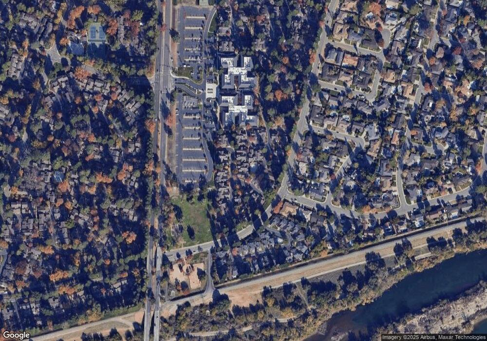
Map
Nearby Homes
- 136 River Chase Cir
- 109 River Chase Cir
- 411 Dunbarton Cir
- 1647 University Ave
- 22 Adelphi Ct
- 104 Dunbarton Cir
- 1063 Commons Dr
- 816 Elmhurst Cir
- 1202 Commons Dr
- 1236 Commons Dr St Charles Pl Dr
- 8031 La Riviera Dr
- 7999 La Riviera Dr
- 609 Elmhurst Cir
- 1055 Vanderbilt Way
- 2301 American River Dr Unit D
- 8187 La Riviera Dr
- 2656 American River Dr
- 224 E Ranch Rd
- 149 Hartnell Place
- 151 Hartnell Place
- 1948 University Park Dr
- 1944 University Park Dr
- 1942 University Park Dr
- 1940 University Park Dr
- 1972 University Park Dr
- 1970 University Park Dr
- 1924 University Park Dr
- 1938 University Park Dr
- 1950 University Park Dr
- 1922 University Park Dr
- 1968 University Park Dr
- 1926 University Park Dr
- 1920 University Park Dr
- 1958 University Park Dr
- 1928 University Park Dr
- 1918 University Park Dr
- 1930 University Park Dr
- 1974 University Park Dr
- 1960 University Park Dr
- 1916 University Park Dr