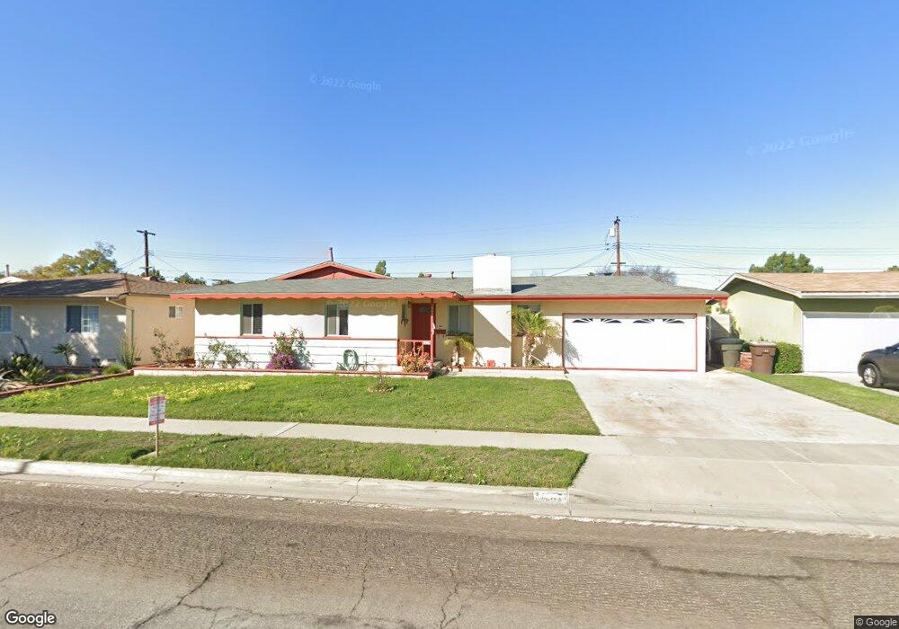
1947 W Sloop Ave Anaheim, CA 92804
West Anaheim NeighborhoodEstimated Value: $836,862 - $884,000
3
Beds
2
Baths
1,126
Sq Ft
$774/Sq Ft
Est. Value
About This Home
This home is located at 1947 W Sloop Ave, Anaheim, CA 92804 and is currently estimated at $870,966, approximately $773 per square foot. 1947 W Sloop Ave is a home located in Orange County with nearby schools including James Madison Elementary School, Ball Junior High School, and Loara High School.
Ownership History
Date
Name
Owned For
Owner Type
Purchase Details
Closed on
Nov 17, 2021
Sold by
Vannguyen Bay
Bought by
Vannguyen Bay and Vannguyen Van Nguyen
Current Estimated Value
Purchase Details
Closed on
Aug 18, 2005
Sold by
Tran Tammy
Bought by
Vanvannguyen Bay Van and Phan Thuy Hong
Home Financials for this Owner
Home Financials are based on the most recent Mortgage that was taken out on this home.
Original Mortgage
$53,500
Outstanding Balance
$28,285
Interest Rate
5.76%
Mortgage Type
Fannie Mae Freddie Mac
Estimated Equity
$842,681
Purchase Details
Closed on
Jun 19, 2001
Sold by
Tran Thomas
Bought by
Tran Tammy
Purchase Details
Closed on
Mar 19, 2001
Sold by
Lakin Robert and Lakin Sharon
Bought by
Tran Tammy
Home Financials for this Owner
Home Financials are based on the most recent Mortgage that was taken out on this home.
Original Mortgage
$194,400
Interest Rate
10.25%
Create a Home Valuation Report for This Property
The Home Valuation Report is an in-depth analysis detailing your home's value as well as a comparison with similar homes in the area
Home Values in the Area
Average Home Value in this Area
Purchase History
| Date | Buyer | Sale Price | Title Company |
|---|---|---|---|
| Vannguyen Bay | -- | None Available | |
| Vanvannguyen Bay Van | $535,000 | United Title Company | |
| Tran Tammy | -- | Chicago Title Co | |
| Tran Tammy | $216,000 | Chicago Title Co |
Source: Public Records
Mortgage History
| Date | Status | Borrower | Loan Amount |
|---|---|---|---|
| Open | Vanvannguyen Bay Van | $53,500 | |
| Previous Owner | Tran Tammy | $194,400 |
Source: Public Records
Tax History
| Year | Tax Paid | Tax Assessment Tax Assessment Total Assessment is a certain percentage of the fair market value that is determined by local assessors to be the total taxable value of land and additions on the property. | Land | Improvement |
|---|---|---|---|---|
| 2025 | $8,192 | $731,115 | $657,693 | $73,422 |
| 2024 | $8,192 | $716,780 | $644,797 | $71,983 |
| 2023 | $8,021 | $702,726 | $632,154 | $70,572 |
| 2022 | $7,262 | $629,340 | $572,317 | $57,023 |
| 2021 | $7,276 | $617,000 | $561,095 | $55,905 |
| 2020 | $6,470 | $542,640 | $486,735 | $55,905 |
| 2019 | $6,272 | $532,000 | $477,191 | $54,809 |
| 2018 | $6,258 | $532,000 | $477,191 | $54,809 |
| 2017 | $5,727 | $496,000 | $441,191 | $54,809 |
| 2016 | $5,393 | $458,000 | $403,191 | $54,809 |
| 2015 | $5,006 | $421,000 | $366,191 | $54,809 |
| 2014 | $4,450 | $390,000 | $335,191 | $54,809 |
Source: Public Records
Map
Nearby Homes
- 1632 S Songish St
- 1447 S Easy Way
- 1669 S Heritage Cir Unit C
- 2011 W Katella Ave Unit 3
- 2106 W Forest Ln
- 11052 Faye Ave
- 10622 Tibbs Cir
- 1250 S Brookhurst St Unit 2050
- 1250 S Brookhurst St Unit 1109
- 1250 S Brookhurst St Unit 2080
- 1250 S Brookhurst St Unit 2033
- 1250 S Brookhurst St
- 1250 S Brookhurst St Unit 1059
- 10511 Dewey Dr
- 1645 S Euclid St
- 1765 S Biscayne Ct
- 11151 Clarissa St
- 1770 W Goodhue Ave
- 1675 W Mells Ln
- 9802 Chanticleer Rd
- 1951 W Sloop Ave
- 1941 W Sloop Ave
- 1946 W Harle Ave
- 1940 W Harle Ave
- 1950 W Harle Ave
- 1937 W Sloop Ave
- 1957 W Sloop Ave
- 1946 W Sloop Ave
- 1942 W Sloop Ave
- 1950 W Sloop Ave
- 1956 W Harle Ave
- 1936 W Sloop Ave
- 1956 W Sloop Ave
- 1930 W Harle Ave
- 1947 W Harle Ave
- 1932 W Sloop Ave
- 2005 W Cris Ave
- 2011 W Cris Ave
- 1941 W Harle Ave
- 1951 W Harle Ave
Your Personal Tour Guide
Ask me questions while you tour the home.