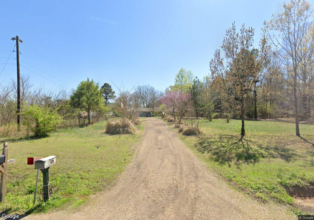
1947 Westbrook Rd Caledonia, MS 39740
Estimated Value: $166,661 - $263,000
Studio
1
Bath
2,092
Sq Ft
$99/Sq Ft
Est. Value
About This Home
This home is located at 1947 Westbrook Rd, Caledonia, MS 39740 and is currently estimated at $207,665, approximately $99 per square foot. 1947 Westbrook Rd is a home.
Ownership History
Date
Name
Owned For
Owner Type
Purchase Details
Closed on
Mar 6, 2025
Sold by
Westbrook Arthur Frank and Westbrook Brenda
Bought by
Donahoo Donna Michelle and Cook Beth Andrews
Current Estimated Value
Purchase Details
Closed on
Sep 3, 2020
Sold by
Zack-Westbrook James
Bought by
Westbbrook Frank
Purchase Details
Closed on
Aug 28, 2020
Sold by
Zack-Westbrook James
Bought by
Westbbrook Frank
Create a Home Valuation Report for This Property
The Home Valuation Report is an in-depth analysis detailing your home's value as well as a comparison with similar homes in the area
Purchase History
| Date | Buyer | Sale Price | Title Company |
|---|---|---|---|
| Donahoo Donna Michelle | -- | None Listed On Document | |
| Donahoo Donna Michelle | -- | None Listed On Document | |
| Westbbrook Frank | -- | None Available | |
| Westbbrook Frank | -- | None Available |
Source: Public Records
Tax History
| Year | Tax Paid | Tax Assessment Tax Assessment Total Assessment is a certain percentage of the fair market value that is determined by local assessors to be the total taxable value of land and additions on the property. | Land | Improvement |
|---|---|---|---|---|
| 2025 | -- | $7,298 | $0 | $0 |
| 2024 | -- | $7,298 | $0 | $0 |
| 2023 | $0 | $6,298 | $0 | $0 |
| 2022 | $0 | $6,298 | $0 | $0 |
| 2021 | $0 | $6,298 | $0 | $0 |
| 2020 | $0 | $6,298 | $0 | $0 |
| 2019 | $0 | $7,170 | $0 | $0 |
| 2018 | $0 | $7,242 | $0 | $0 |
| 2017 | -- | $7,242 | $0 | $0 |
| 2016 | -- | $7,242 | $0 | $0 |
| 2015 | $3 | $7,538 | $0 | $0 |
| 2014 | $3 | $7,538 | $0 | $0 |
Source: Public Records
Map
Nearby Homes
- 121 Duncan Rd
- 324 Herchel Gallop Rd
- 189 Frye Cir
- 48 Big Eddy Trail
- 316 E Big Eddy Trail
- 524 Abbey Rd
- 569 Abbey Rd
- 263 Abbey Rd
- 1110 Dodson Rd
- 311 Lawrence St
- 87 Rigby Ln
- 641 Abbey Rd
- 121 Main St
- 110 Brendas Way
- 115 Marilyns Place
- 169 Dove Whitaker Rd
- 246 Dove Whitaker Rd
- 4120 Old Wolfe Rd
- 0 Mississippi 12
- 40231 Rye Bottom Rd
- 2056 Westbrook Rd
- 2300 Honnoll Mill Rd
- 1724 Westbrook Rd
- 1830 Westbrook Rd
- 2221 Honnoll Mill Rd
- 2305 Honnoll Mill Rd
- 2077 Honnoll Mill Rd
- 2075 Honnoll Mill Rd
- 2420 Honnoll Mill Rd
- 1523 Westbrook Rd
- 1980 Honnoll Mill Rd
- 55 McDill Rd
- 2500 Honnoll Mill Rd
- 2716 Honnoll Mill Rd
- 1846 Honnoll Mill Rd
- 3024 Freeman Rd
- 1841 Honnoll Mill Rd
- 1835 Honnoll Mill Rd
- 1733 Honnoll Mill Rd
- 1840 Honnoll Mill Rd
Your Personal Tour Guide
Ask me questions while you tour the home.