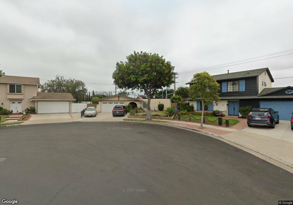
19471 Mclaren Ln Huntington Beach, CA 92646
Estimated Value: $1,278,000 - $1,389,000
3
Beds
2
Baths
1,416
Sq Ft
$928/Sq Ft
Est. Value
About This Home
This home is located at 19471 Mclaren Ln, Huntington Beach, CA 92646 and is currently estimated at $1,314,524, approximately $928 per square foot. 19471 Mclaren Ln is a home located in Orange County with nearby schools including William T. Newland Elementary, Talbert Middle School, and Huntington Beach High School.
Ownership History
Date
Name
Owned For
Owner Type
Purchase Details
Closed on
Feb 1, 2019
Sold by
Bugos David W and Bugos Harcel
Bought by
Bugos David W and Bugos Harcel
Current Estimated Value
Purchase Details
Closed on
Jan 23, 2009
Sold by
Bugos David and Bugos Harcel Y
Bought by
Bugos David W and Bugos Harcel Y
Home Financials for this Owner
Home Financials are based on the most recent Mortgage that was taken out on this home.
Original Mortgage
$417,000
Interest Rate
5.01%
Mortgage Type
New Conventional
Create a Home Valuation Report for This Property
The Home Valuation Report is an in-depth analysis detailing your home's value as well as a comparison with similar homes in the area
Home Values in the Area
Average Home Value in this Area
Purchase History
| Date | Buyer | Sale Price | Title Company |
|---|---|---|---|
| Bugos David W | -- | None Available | |
| Bugos David W | -- | None Available | |
| Bugos David W | -- | Orange Coast Title |
Source: Public Records
Mortgage History
| Date | Status | Borrower | Loan Amount |
|---|---|---|---|
| Closed | Bugos David W | $417,000 |
Source: Public Records
Tax History Compared to Growth
Tax History
| Year | Tax Paid | Tax Assessment Tax Assessment Total Assessment is a certain percentage of the fair market value that is determined by local assessors to be the total taxable value of land and additions on the property. | Land | Improvement |
|---|---|---|---|---|
| 2025 | $3,358 | $283,986 | $151,238 | $132,748 |
| 2024 | $3,358 | $278,418 | $148,272 | $130,146 |
| 2023 | $3,275 | $272,959 | $145,364 | $127,595 |
| 2022 | $3,223 | $267,607 | $142,513 | $125,094 |
| 2021 | $3,161 | $262,360 | $139,718 | $122,642 |
| 2020 | $3,141 | $259,670 | $138,285 | $121,385 |
| 2019 | $3,079 | $254,579 | $135,574 | $119,005 |
| 2018 | $3,020 | $249,588 | $132,916 | $116,672 |
| 2017 | $2,972 | $244,695 | $130,310 | $114,385 |
| 2016 | $2,850 | $239,898 | $127,755 | $112,143 |
| 2015 | $2,805 | $236,295 | $125,836 | $110,459 |
| 2014 | $2,748 | $231,667 | $123,371 | $108,296 |
Source: Public Records
Map
Nearby Homes
- 9172 Veronica Dr
- 9121 Madeline Dr
- 19202 Hickory Ln
- 8582 Salt Lake Dr
- 18963 Acacia St
- 9462 Litchfield Dr
- 19846 Lures Ln
- 20111 Marina Ln
- 9594 Pettswood Dr Unit 4
- 20071 Moontide Cir
- 8291 Polk Cir
- 20131 Crown Reef Ln
- 18820 Cordata St
- 19854 Leighton Ln
- 9667 Durham Dr
- 20258 Lantana Dr
- 8242 Grant Dr
- 18760 Cordata St
- 20191 Imperial Cove Ln
- 19362 Weymouth Ln
- 19451 Mclaren Ln
- 9032 Annik Dr
- 9042 Annik Dr
- 19441 Mclaren Ln Unit 1
- 19441 Mclaren Ln
- 9031 Veronica Dr
- 9052 Annik Dr
- 19472 Coralwood Ln
- 9041 Veronica Dr
- 19421 Mclaren Ln
- 19442 Mclaren Ln
- 19521 Roderick Ln
- 19452 Coralwood Ln
- 9051 Veronica Dr
- 19442 Coralwood Ln
- 19422 Mclaren Ln
- 9062 Annik Dr
- 8982 Sailport Dr
- 19411 Mclaren Ln
- 9051 Annik Dr