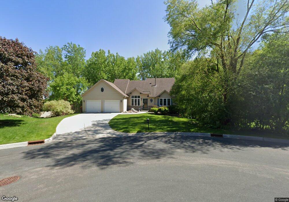
1948 59th Ct E Inver Grove Heights, MN 55077
Estimated Value: $390,869 - $444,000
4
Beds
2
Baths
1,278
Sq Ft
$323/Sq Ft
Est. Value
About This Home
This home is located at 1948 59th Ct E, Inver Grove Heights, MN 55077 and is currently estimated at $412,217, approximately $322 per square foot. 1948 59th Ct E is a home located in Dakota County with nearby schools including Salem Hills Elementary School, Inver Grove Heights Middle School, and Simley Senior High School.
Ownership History
Date
Name
Owned For
Owner Type
Purchase Details
Closed on
Oct 7, 1998
Sold by
Mcallister Michael J and Mcallister Janeen E
Bought by
Nelson Terry A
Current Estimated Value
Purchase Details
Closed on
Mar 20, 1998
Sold by
Lehmann Edward W
Bought by
Mcallister Michael J and Mcallister Janeen E
Create a Home Valuation Report for This Property
The Home Valuation Report is an in-depth analysis detailing your home's value as well as a comparison with similar homes in the area
Home Values in the Area
Average Home Value in this Area
Purchase History
| Date | Buyer | Sale Price | Title Company |
|---|---|---|---|
| Nelson Terry A | $164,805 | -- | |
| Mcallister Michael J | $44,900 | -- |
Source: Public Records
Tax History Compared to Growth
Tax History
| Year | Tax Paid | Tax Assessment Tax Assessment Total Assessment is a certain percentage of the fair market value that is determined by local assessors to be the total taxable value of land and additions on the property. | Land | Improvement |
|---|---|---|---|---|
| 2024 | $4,240 | $329,100 | $97,200 | $231,900 |
| 2023 | $4,240 | $334,300 | $94,700 | $239,600 |
| 2022 | $3,840 | $320,200 | $94,600 | $225,600 |
| 2021 | $3,714 | $274,100 | $82,300 | $191,800 |
| 2020 | $3,614 | $257,300 | $78,400 | $178,900 |
| 2019 | $3,768 | $245,900 | $74,600 | $171,300 |
| 2018 | $3,549 | $240,300 | $71,100 | $169,200 |
| 2017 | $3,649 | $219,800 | $67,700 | $152,100 |
| 2016 | $2,519 | $221,500 | $64,500 | $157,000 |
| 2015 | $2,640 | $196,892 | $57,656 | $139,236 |
| 2014 | -- | $195,802 | $55,499 | $140,303 |
| 2013 | -- | $193,077 | $51,627 | $141,450 |
Source: Public Records
Map
Nearby Homes
- 6090 Babcock Trail
- 5875 Asher Ave
- 6320 Baker Ave
- 1855 63rd St E
- 6495 Beckman Ave
- 2116 65th St E
- 5870 Blackberry Bridge Path
- 6421 Bowman Cir
- 6494 Bonner Ct
- 6244 Bolland Trail
- 5903 Bryant Ln
- 6816 Benton Cir Unit 35
- 5938 Burke Trail
- 5472 Bryce Ave
- 1434 8th Ave S
- 6601 Buckley Cir Unit 110
- 6680 S Robert Trail
- 4825 Babcock Trail Unit 2005
- 6050 Cahill Ave
- Virginia Plan at Eagles Landing
- 5953 Bacon Ave
- 1920 59th Ct E
- 5967 Bacon Ave
- 1954 59th Ct E
- 1945 60th St E
- 1963 60th St E
- 1929 60th St E
- 1953 59th Ct E
- 5943 Bacon Ave
- 1911 60th St E
- 5979 Bacon Ave
- 1937 59th Ct E
- 1896 59th Ct E
- 1896 1896 59th-Court-e
- 1921 59th Ct E
- 1897 60th St E
- 1909 59th Ct E
- 1887 59th Ct E
- 1878 59th Ct E
- 1879 60th St E