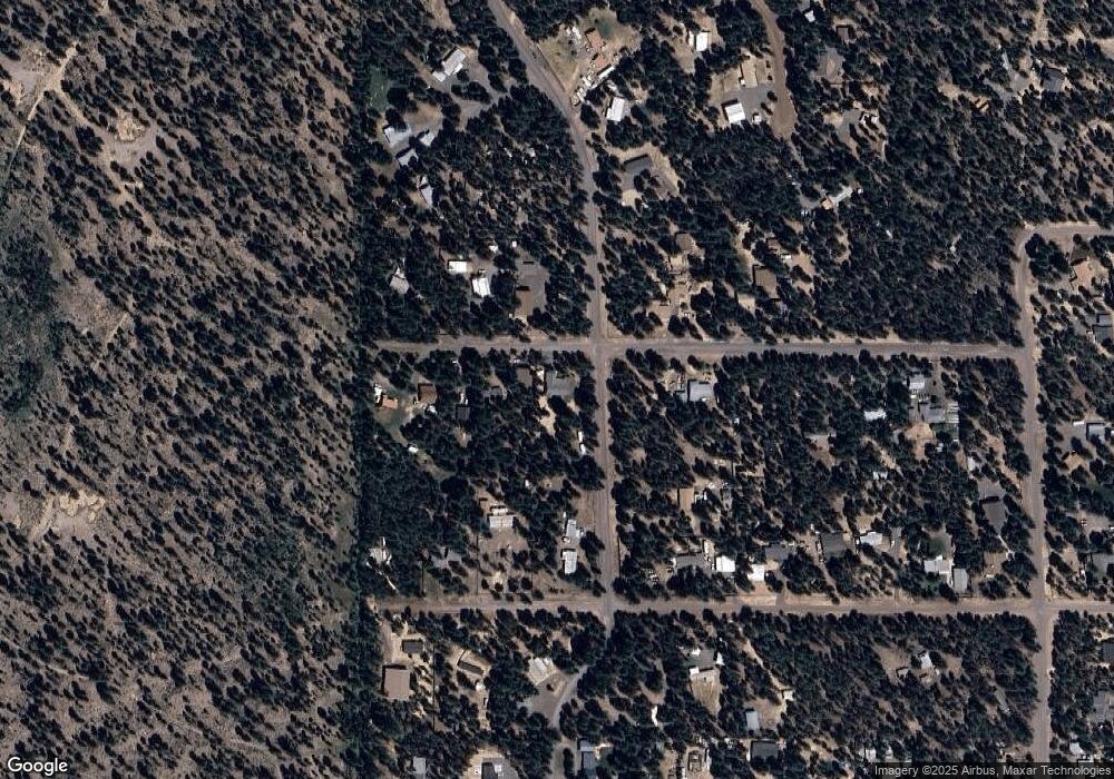
1948 Lukes Rd La Pine, OR 97739
Estimated Value: $404,000 - $454,846
3
Beds
2
Baths
2,068
Sq Ft
$208/Sq Ft
Est. Value
About This Home
This home is located at 1948 Lukes Rd, La Pine, OR 97739 and is currently estimated at $429,423, approximately $207 per square foot. 1948 Lukes Rd is a home with nearby schools including Gilchrist Elementary School and Gilchrist Junior/Senior High School.
Ownership History
Date
Name
Owned For
Owner Type
Purchase Details
Closed on
Dec 14, 2024
Sold by
Oconnor David and Oconnor Paula
Bought by
David And Paula Oconnor Joint Revocable Livin and Oconnor
Current Estimated Value
Purchase Details
Closed on
Jun 28, 2017
Sold by
Mcdaniel Robert and Mcdaniel April
Bought by
Connor David O and Connor Paula O
Create a Home Valuation Report for This Property
The Home Valuation Report is an in-depth analysis detailing your home's value as well as a comparison with similar homes in the area
Purchase History
| Date | Buyer | Sale Price | Title Company |
|---|---|---|---|
| David And Paula Oconnor Joint Revocable Livin | -- | None Listed On Document | |
| David And Paula Oconnor Joint Revocable Livin | -- | None Listed On Document | |
| Connor David O | $58,000 | First American Title |
Source: Public Records
Tax History
| Year | Tax Paid | Tax Assessment Tax Assessment Total Assessment is a certain percentage of the fair market value that is determined by local assessors to be the total taxable value of land and additions on the property. | Land | Improvement |
|---|---|---|---|---|
| 2025 | $2,333 | $183,090 | -- | -- |
| 2024 | $2,261 | $177,760 | -- | -- |
| 2023 | $2,179 | $177,760 | $0 | $0 |
| 2022 | $2,121 | $167,570 | $0 | $0 |
| 2021 | $2,060 | $162,690 | $0 | $0 |
| 2020 | $1,424 | $110,950 | $0 | $0 |
| 2019 | $1,390 | $107,720 | $0 | $0 |
| 2018 | $108 | $9,080 | $0 | $0 |
| 2017 | $105 | $8,820 | $0 | $0 |
| 2016 | $103 | $8,570 | $0 | $0 |
| 2015 | $101 | $8,330 | $0 | $0 |
| 2014 | $97 | $8,090 | $0 | $0 |
| 2013 | -- | $7,860 | $0 | $0 |
Source: Public Records
Map
Nearby Homes
- 1920 Cheryl Dr
- 149218 Auderine Cir
- 1225 Hackett Dr
- 1 Gracies Rd
- 1287 Fort Jack Pine Dr
- 216 Chapman St
- 652 Chapman St
- 1018 Chapman St
- 152038 Conestoga Rd
- 152113 Silver Spur Rd
- 152224 Silver Spur Rd
- 0 Tl 09900 Scabbard Ct Unit 4 220194298
- 0 Tl 09800 Scabbard Ct Unit 5 220194297
- 0 Tl 09300 Buggy Whip Ct Unit 10 220194293
- 0 Tl 10300 Concho Ct Unit 5 220194299
- 0 Tl 09700 Buggy Whip Ct Unit 6 220194296
- 1870 Iron Wheel Ct
- 0 Tl 10600 Concho Ct Unit 2 220194291
- 0 Stirrup Dr Unit Lot 15 220194508
- 0 Stirrup Dr Unit Lot 20 220194510
- 1956 Lukes Rd
- 9100 Snuffy Dr
- 0 Lukes Rd Unit 2611390
- 0 Lukes Rd Unit 2600754
- 0 Lukes Rd Unit 2403285
- 0 Lukes Rd Unit 9802869
- TL 4400 Lukes Rd
- TL 4500 Lukes Rd
- 0 Lukes Rd Unit 9
- 1836 Lukes Rd
- 1955 Lukes Rd
- 149011 Snuffy Dr
- 1960 Lukes Rd
- 1923 Cheryl Dr
- 1900 Snuffy Dr
- 1773 Cheryl Dr
- 149235 Snuffy Dr
- 9 Lukes Rd
- 1730 Lukes Rd
