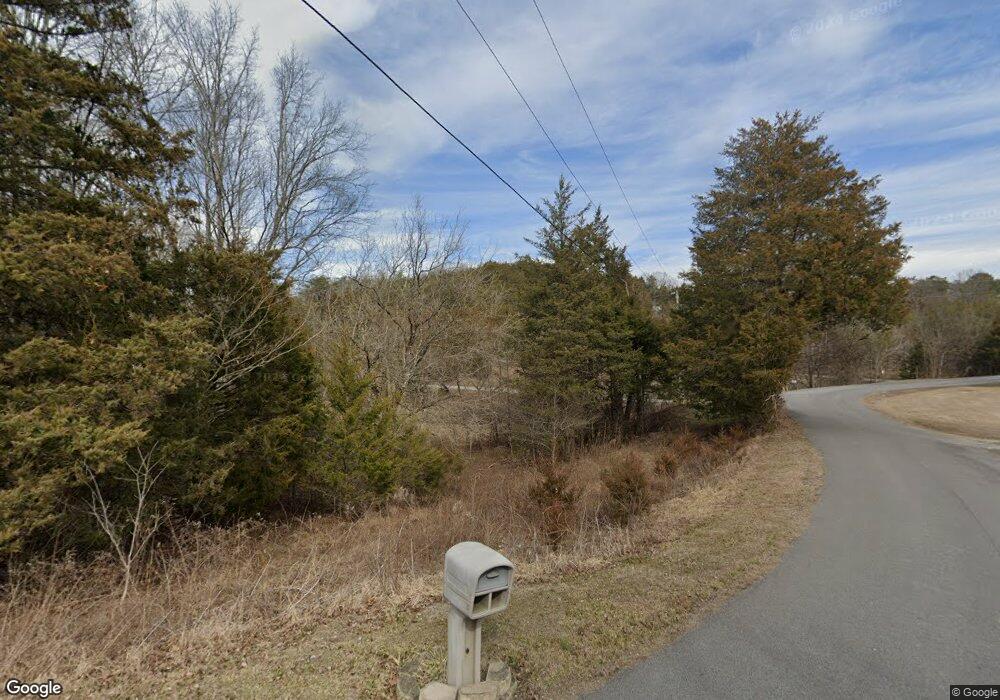
1948 Neal Dr Sevierville, TN 37876
Estimated Value: $401,238 - $422,000
--
Bed
3
Baths
1,763
Sq Ft
$233/Sq Ft
Est. Value
About This Home
This home is located at 1948 Neal Dr, Sevierville, TN 37876 and is currently estimated at $411,619, approximately $233 per square foot. 1948 Neal Dr is a home located in Sevier County with nearby schools including Catons Chapel Elementary School, Jones Cove Elementary School, and Northview Elementary School.
Ownership History
Date
Name
Owned For
Owner Type
Purchase Details
Closed on
Apr 1, 1993
Bought by
Bruno Edward and Bruno Cynthia S
Current Estimated Value
Purchase Details
Closed on
Feb 8, 1990
Bought by
Whitlock Karen
Purchase Details
Closed on
Oct 21, 1988
Bought by
Hatcher Arthur Gene
Purchase Details
Closed on
Jun 30, 1986
Bought by
Martino Keith A and Martino Peggy
Create a Home Valuation Report for This Property
The Home Valuation Report is an in-depth analysis detailing your home's value as well as a comparison with similar homes in the area
Home Values in the Area
Average Home Value in this Area
Purchase History
| Date | Buyer | Sale Price | Title Company |
|---|---|---|---|
| Bruno Edward | $97,000 | -- | |
| Whitlock Karen | $60,000 | -- | |
| Hatcher Arthur Gene | $11,500 | -- | |
| Martino Keith A | $8,500 | -- |
Source: Public Records
Tax History Compared to Growth
Tax History
| Year | Tax Paid | Tax Assessment Tax Assessment Total Assessment is a certain percentage of the fair market value that is determined by local assessors to be the total taxable value of land and additions on the property. | Land | Improvement |
|---|---|---|---|---|
| 2025 | $822 | $55,525 | $9,875 | $45,650 |
| 2024 | $822 | $55,525 | $9,875 | $45,650 |
| 2023 | $822 | $55,525 | $0 | $0 |
| 2022 | $822 | $55,525 | $9,875 | $45,650 |
| 2021 | $822 | $55,525 | $9,875 | $45,650 |
| 2020 | $797 | $55,525 | $9,875 | $45,650 |
| 2019 | $797 | $42,850 | $9,875 | $32,975 |
| 2018 | $797 | $42,850 | $9,875 | $32,975 |
| 2017 | $797 | $42,850 | $9,875 | $32,975 |
| 2016 | $797 | $42,850 | $9,875 | $32,975 |
| 2015 | -- | $43,025 | $0 | $0 |
| 2014 | $701 | $43,011 | $0 | $0 |
Source: Public Records
Map
Nearby Homes
- 0 Newport Hwy Unit 1318772
- Lot 15 Mount Buckley Ln
- Lot 10 Mount Buckley Ln
- Lot 17 Mount Buckley Ln
- Lot 3 Mount Buckley Ln
- Lot 1 Mount Buckley Ln
- Lot 11 Mount Buckley Ln
- Lot 13 Mount Buckley Ln
- Lot 2 Mount Buckley Ln
- Lot 7 Mount Buckley Ln
- Lot 5 Mount Buckley Ln
- Lot 8 Mount Buckley Ln
- Lot 4 Mount Buckley Ln
- 334 Amolee Ln
- PC 12.01 Newport Hwy
- 340 Lane Hollow Rd
- 2212 Pinnacle Ridge Trail
- 393 & 395 Lane Hollow Rd
- 393 Lane Hollow Rd
- 1838 Ally Ln
