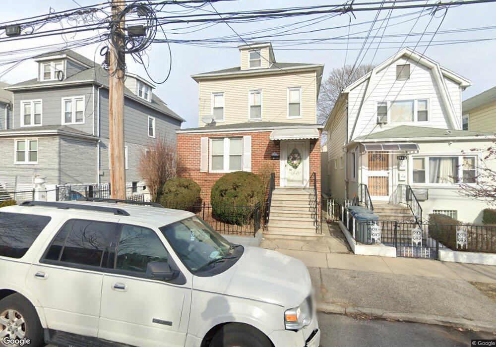
1948 Paulding Ave Bronx, NY 10462
Morris Park NeighborhoodEstimated Value: $787,471 - $986,000
Studio
--
Bath
2,112
Sq Ft
$426/Sq Ft
Est. Value
About This Home
This home is located at 1948 Paulding Ave, Bronx, NY 10462 and is currently estimated at $900,368, approximately $426 per square foot. 1948 Paulding Ave is a home located in Bronx County with nearby schools including P.S. 083 The Donald Hertz School, Emblaze Academy Charter School, and St. Clare of Assisi School.
Ownership History
Date
Name
Owned For
Owner Type
Purchase Details
Closed on
Dec 18, 2001
Sold by
Decicco Pasquale and Decicco Pauline
Bought by
Crisol George and Crisol Melizza
Current Estimated Value
Home Financials for this Owner
Home Financials are based on the most recent Mortgage that was taken out on this home.
Original Mortgage
$235,277
Outstanding Balance
$95,410
Interest Rate
7.08%
Estimated Equity
$804,958
Create a Home Valuation Report for This Property
The Home Valuation Report is an in-depth analysis detailing your home's value as well as a comparison with similar homes in the area
Home Values in the Area
Average Home Value in this Area
Purchase History
| Date | Buyer | Sale Price | Title Company |
|---|---|---|---|
| Crisol George | -- | -- |
Source: Public Records
Mortgage History
| Date | Status | Borrower | Loan Amount |
|---|---|---|---|
| Open | Crisol George | $235,277 |
Source: Public Records
Tax History
| Year | Tax Paid | Tax Assessment Tax Assessment Total Assessment is a certain percentage of the fair market value that is determined by local assessors to be the total taxable value of land and additions on the property. | Land | Improvement |
|---|---|---|---|---|
| 2025 | $7,986 | $42,148 | $8,491 | $33,657 |
| 2024 | $7,986 | $39,762 | $8,010 | $31,752 |
| 2023 | $7,618 | $37,512 | $8,157 | $29,355 |
| 2022 | $7,489 | $46,320 | $10,020 | $36,300 |
| 2021 | $7,835 | $40,680 | $10,020 | $30,660 |
| 2020 | $7,435 | $38,700 | $10,020 | $28,680 |
| 2019 | $6,932 | $39,900 | $10,020 | $29,880 |
| 2018 | $6,372 | $31,260 | $10,020 | $21,240 |
| 2017 | $6,910 | $33,898 | $9,295 | $24,603 |
| 2016 | $6,393 | $31,980 | $10,020 | $21,960 |
| 2015 | $3,869 | $30,420 | $11,160 | $19,260 |
| 2014 | $3,869 | $29,160 | $11,160 | $18,000 |
Source: Public Records
Map
Nearby Homes
- 1945 Paulding Ave
- 986 Neill Ave
- 2019 Colden Ave
- 1925 Radcliff Ave
- 1059 Neill Ave
- 2004 Bogart Ave
- 2037 Radcliff Ave
- 1054 Lydig Ave
- 1917 Haight Ave
- 1100 Neill Ave
- 2021 Haight Ave
- 1942 Haight Ave
- 1912 Haight Ave
- 1831 Paulding Ave
- 2028 Haight Ave
- 928 Rhinelander Ave
- 2116 Bogart Ave
- 2118 Bogart Ave
- - Lydig Ave
- 1116 Rhinelander Ave
- 1946 Paulding Ave
- 1952 Paulding Ave
- 1944 Paulding Ave
- 1942 Paulding Ave
- 1954 Paulding Ave
- 1945 Hone Ave
- 1947 Hone Ave
- 1943 Hone Ave
- 1940 Paulding Ave
- 1949 Hone Ave
- 1958 Paulding Ave
- 1941 Hone Ave
- 1951 Hone Ave
- 1939 Hone Ave
- 1938 Paulding Ave
- 1959 Hone Ave
- 1937 Hone Ave
- 1937 Hone Ave Unit 1
- 1949 Paulding Ave
- 1951 Paulding Ave
Your Personal Tour Guide
Ask me questions while you tour the home.