19488 Highway 63 Moss Point, MS 39562
Estimated Value: $224,000 - $279,000
Studio
--
Bath
1,815
Sq Ft
$143/Sq Ft
Est. Value
About This Home
This home is located at 19488 Highway 63, Moss Point, MS 39562 and is currently estimated at $258,755, approximately $142 per square foot. 19488 Highway 63 is a home with nearby schools including East Central Lower Elementary School, East Central Upper Elementary School, and East Central Middle School.
Ownership History
Date
Name
Owned For
Owner Type
Purchase Details
Closed on
Nov 10, 2025
Sold by
Parker Kimberley and Muirhead Kimberley P
Bought by
Jackson Bryce Weldon
Current Estimated Value
Home Financials for this Owner
Home Financials are based on the most recent Mortgage that was taken out on this home.
Original Mortgage
$232,000
Outstanding Balance
$231,563
Interest Rate
6.3%
Mortgage Type
New Conventional
Estimated Equity
$27,192
Purchase Details
Closed on
Dec 16, 2014
Sold by
Stephen H Stephen H
Bought by
Shirley Stephen H and Muirhead Kimberley P
Create a Home Valuation Report for This Property
The Home Valuation Report is an in-depth analysis detailing your home's value as well as a comparison with similar homes in the area
Purchase History
| Date | Buyer | Sale Price | Title Company |
|---|---|---|---|
| Jackson Bryce Weldon | -- | Island Winds Title | |
| Shirley Stephen H | -- | -- |
Source: Public Records
Mortgage History
| Date | Status | Borrower | Loan Amount |
|---|---|---|---|
| Open | Jackson Bryce Weldon | $232,000 |
Source: Public Records
Tax History
| Year | Tax Paid | Tax Assessment Tax Assessment Total Assessment is a certain percentage of the fair market value that is determined by local assessors to be the total taxable value of land and additions on the property. | Land | Improvement |
|---|---|---|---|---|
| 2025 | $1,491 | $18,394 | $1,586 | $16,808 |
| 2024 | $1,491 | $16,293 | $1,540 | $14,753 |
| 2023 | $1,506 | $16,298 | $1,545 | $14,753 |
| 2022 | $1,752 | $16,301 | $1,548 | $14,753 |
| 2021 | $1,761 | $16,388 | $1,552 | $14,836 |
| 2020 | $1,692 | $15,245 | $1,133 | $14,112 |
| 2019 | $1,674 | $15,259 | $1,147 | $14,112 |
| 2018 | $1,711 | $15,272 | $1,159 | $14,113 |
| 2017 | $1,741 | $15,263 | $1,150 | $14,113 |
| 2016 | $1,813 | $15,234 | $1,122 | $14,112 |
| 2015 | $35 | $1,940 | $1,940 | $0 |
Source: Public Records
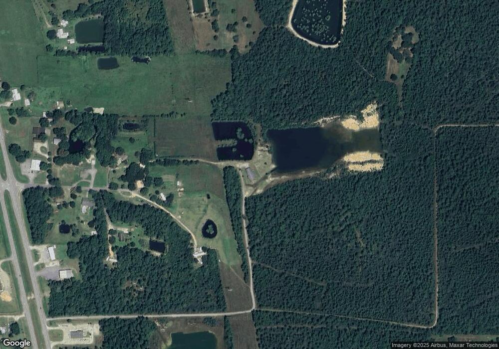
Map
Nearby Homes
- 19506 Highway 63
- 19500 Angel Ln
- 20700 Cameron Ln
- 17209 Red Top Ln
- Tbd Hurley Wade Rd
- 5402 Huckleberry Ln
- 21217 E Trails End Rd
- 5455 Gavin Hamilton Rd
- 0 Grafe Homestead Rd Unit 4137349
- 7201 Bentwood Dr
- 0 Mississippi 614
- 0000 Mississippi 614
- 3016 Ed Parker Rd
- 0 00 Gavin Hamilton Rd
- 6685 Caraway Rd
- 26.1 Acres Brinkman Rd E
- 24040 Robert e Lee Rd
- 24023 Robert e Lee Rd
- 0 R B Dickerson Rd
- 0 Dr Unit 4052148
- 2931 Goff Rd
- 2831 Goff Rd
- 2930 Goff Rd
- 2804 Goff Rd
- 2800 Goff Rd
- 2815 Goff Rd
- 3101 Jerry Davis Rd
- 19728 Highway 63
- 2808 Toby Ray Parker Rd
- 19812 Highway 63
- 3209 Jerry Davis Rd
- 19421 Highway 63
- 19537 New Hope Church Rd
- 2800 Toby Ray Parker Rd
- 19541 New Hope Church Rd
- 3211 Jerry Davis Rd
- 2712 Bertha Hanna Rd
- 3025 Jerry Davis Rd
- 3521 Jerry Davis Rd
- 19409 New Hope Church Rd
Your Personal Tour Guide
Ask me questions while you tour the home.