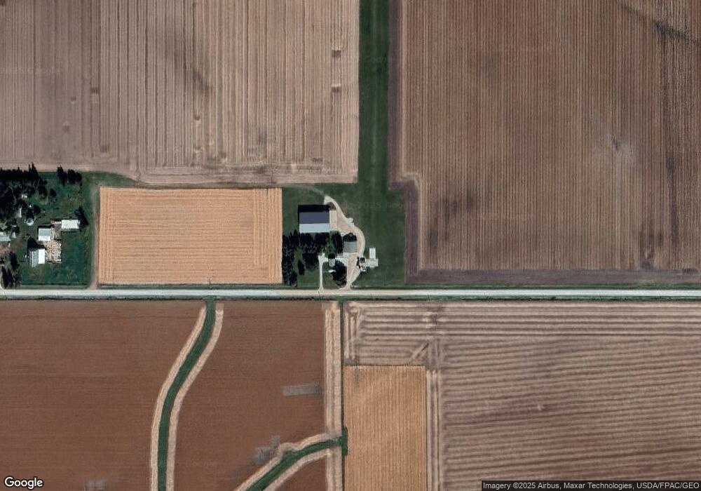
19489 310th St Beaman, IA 50609
Estimated Value: $250,000 - $508,278
2
Beds
1
Bath
1,024
Sq Ft
$390/Sq Ft
Est. Value
About This Home
This home is located at 19489 310th St, Beaman, IA 50609 and is currently estimated at $399,820, approximately $390 per square foot. 19489 310th St is a home with nearby schools including BCLUW Elementary School, BCLUW Middle School, and BCLUW High School.
Ownership History
Date
Name
Owned For
Owner Type
Purchase Details
Closed on
Feb 25, 2025
Sold by
Hoppe Airspray Llc
Bought by
Hoppe Air Llc
Current Estimated Value
Home Financials for this Owner
Home Financials are based on the most recent Mortgage that was taken out on this home.
Original Mortgage
$2,850,000
Outstanding Balance
$2,682,378
Interest Rate
6.96%
Mortgage Type
Credit Line Revolving
Estimated Equity
-$2,282,558
Purchase Details
Closed on
May 29, 2009
Sold by
Hoppe William Henry and Hoppe Bonnie
Bought by
Hoppe Airspray Llc
Create a Home Valuation Report for This Property
The Home Valuation Report is an in-depth analysis detailing your home's value as well as a comparison with similar homes in the area
Home Values in the Area
Average Home Value in this Area
Purchase History
| Date | Buyer | Sale Price | Title Company |
|---|---|---|---|
| Hoppe Air Llc | $500,000 | First Dakota Title | |
| Hoppe Airspray Llc | $110,000 | -- |
Source: Public Records
Mortgage History
| Date | Status | Borrower | Loan Amount |
|---|---|---|---|
| Open | Hoppe Air Llc | $2,850,000 |
Source: Public Records
Tax History Compared to Growth
Tax History
| Year | Tax Paid | Tax Assessment Tax Assessment Total Assessment is a certain percentage of the fair market value that is determined by local assessors to be the total taxable value of land and additions on the property. | Land | Improvement |
|---|---|---|---|---|
| 2025 | $3,058 | $281,680 | $40,210 | $241,470 |
| 2024 | $3,058 | $271,060 | $40,210 | $230,850 |
| 2023 | $2,812 | $271,060 | $40,210 | $230,850 |
| 2022 | $2,510 | $224,560 | $33,480 | $191,080 |
| 2021 | $2,510 | $224,560 | $33,480 | $191,080 |
| 2020 | $1,140 | $213,370 | $33,480 | $179,890 |
| 2019 | $1,066 | $87,608 | $0 | $0 |
| 2018 | $1,100 | $87,608 | $0 | $0 |
| 2017 | $1,100 | $99,433 | $0 | $0 |
| 2016 | $1,240 | $99,433 | $0 | $0 |
| 2015 | $1,240 | $122,432 | $0 | $0 |
| 2014 | $1,504 | $76,342 | $0 | $0 |
Source: Public Records
Map
Nearby Homes
- 817 N Vernon St
- 738 Circle Dr
- 206 N Hartwig St Unit Lot 2
- 707 Circle Dr
- 614 N Vernon St
- 614 N Vernon St Unit 50
- 610 N Vernon St
- 610 N Vernon St Unit 49
- 606 N Vernon St
- 606 N Vernon St Unit 48
- 417 Farmers
- 613 N Vernon St Unit 7
- 413 Farmers
- 609 N Vernon St Unit 8
- 409 Farmers
- 614 N Main St
- 614 N Main St Unit 6
- 405 Farmers
- 610 N Main St
- 610 N Main St Unit 5