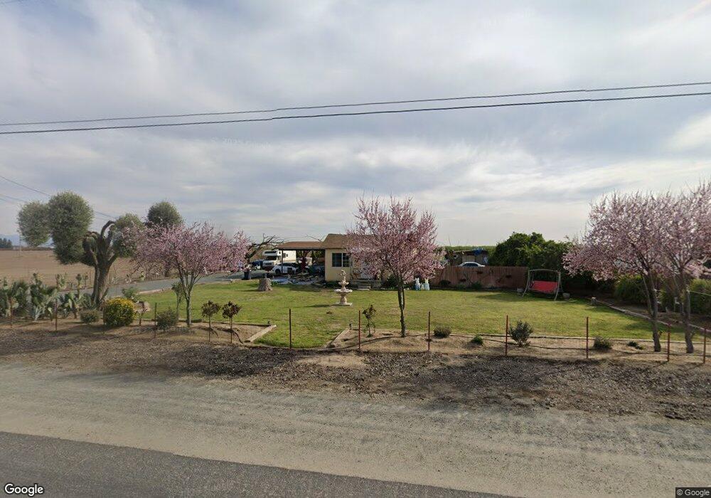
19489 Avenue 144 Porterville, CA 93257
Estimated Value: $157,000 - $249,000
2
Beds
1
Bath
1,080
Sq Ft
$197/Sq Ft
Est. Value
About This Home
This home is located at 19489 Avenue 144, Porterville, CA 93257 and is currently estimated at $212,966, approximately $197 per square foot. 19489 Avenue 144 is a home located in Tulare County with nearby schools including Pleasant View Elementary School, Monache High School, and Strathmore High School.
Ownership History
Date
Name
Owned For
Owner Type
Purchase Details
Closed on
Nov 9, 2005
Sold by
Tovar Lisa
Bought by
State Of California
Current Estimated Value
Purchase Details
Closed on
Feb 10, 2005
Sold by
Andrade Primitivo
Bought by
Tovar Lisa
Home Financials for this Owner
Home Financials are based on the most recent Mortgage that was taken out on this home.
Original Mortgage
$45,000
Interest Rate
5.81%
Mortgage Type
Seller Take Back
Create a Home Valuation Report for This Property
The Home Valuation Report is an in-depth analysis detailing your home's value as well as a comparison with similar homes in the area
Home Values in the Area
Average Home Value in this Area
Purchase History
| Date | Buyer | Sale Price | Title Company |
|---|---|---|---|
| State Of California | -- | First American Title | |
| Tovar Lisa | $55,000 | Fidelity National Title Co |
Source: Public Records
Mortgage History
| Date | Status | Borrower | Loan Amount |
|---|---|---|---|
| Previous Owner | Tovar Lisa | $45,000 |
Source: Public Records
Tax History Compared to Growth
Tax History
| Year | Tax Paid | Tax Assessment Tax Assessment Total Assessment is a certain percentage of the fair market value that is determined by local assessors to be the total taxable value of land and additions on the property. | Land | Improvement |
|---|---|---|---|---|
| 2025 | $892 | $95,244 | $34,848 | $60,396 |
| 2024 | $892 | $93,377 | $34,165 | $59,212 |
| 2023 | $891 | $91,547 | $33,496 | $58,051 |
| 2022 | $853 | $89,753 | $32,840 | $56,913 |
| 2021 | $841 | $87,993 | $32,196 | $55,797 |
| 2020 | $828 | $87,091 | $31,866 | $55,225 |
| 2019 | $810 | $85,383 | $31,241 | $54,142 |
| 2018 | $793 | $83,708 | $30,628 | $53,080 |
| 2017 | $778 | $82,066 | $30,027 | $52,039 |
| 2016 | $744 | $80,457 | $29,438 | $51,019 |
| 2015 | $714 | $79,249 | $28,996 | $50,253 |
| 2014 | $714 | $77,697 | $28,428 | $49,269 |
Source: Public Records
Map
Nearby Homes
- 0 SW Road 192 Unit#19
- 0 SW Road 192 Unit #21 Unit 232747
- 0 SW Road 192 Unit# 20
- 14725 Walker Rd
- 13250 Road 184
- 13291 Road 184
- 17771 Avenue 152
- 18925 Avenue 168
- 249 S Westwood St
- 15247 Road 223
- 2280 W Glenn Ave
- 1448 S Westwood Rd
- 575 N Brandy Way
- 100 S Westwood St Unit 1
- 100 S Westwood St Unit 17
- 100 S Westwood St
- 100 S Westwood St Unit Lot 105
- 100 S Westwood St Unit 110
- 100 S Westwood St Unit Lot 71
- 100 S Westwood St Unit 92
- 19459 Avenue 144 Unit A
- 19459 Avenue 144
- 19385 Avenue 144
- 19337 Avenue 144
- 19325 Avenue 111
- 19323 Avenue 144
- 19636 Avenue 144
- 19395 Avenue 144 Unit E
- 19395 Avenue 144
- 14201 Road 194
- 19255 Avenue 144
- 314 S Cook St
- 14310 Cook St
- 14411 193
- 14431 Road 193
- 14423 Road 193
- 19297 Avenue 144 Unit 3-4
- 19297 Avenue 144 Unit 5-6
- 19297 Avenue 144 Unit 36
- 19297 Avenue 144 Unit G