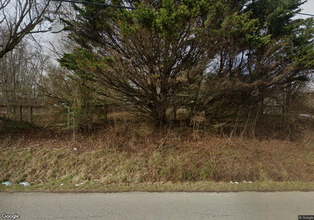
1949 Allison Rd Piney Flats, TN 37686
Estimated Value: $181,000 - $308,000
--
Bed
2
Baths
1,393
Sq Ft
$180/Sq Ft
Est. Value
About This Home
This home is located at 1949 Allison Rd, Piney Flats, TN 37686 and is currently estimated at $250,709, approximately $179 per square foot. 1949 Allison Rd is a home located in Sullivan County with nearby schools including Mary Hughes School, Sullivan East Middle School, and Sullivan East High School.
Ownership History
Date
Name
Owned For
Owner Type
Purchase Details
Closed on
Jun 10, 2021
Sold by
Whitlock Carl Preston
Bought by
Whitlock Linda Mae
Current Estimated Value
Home Financials for this Owner
Home Financials are based on the most recent Mortgage that was taken out on this home.
Original Mortgage
$130,000
Outstanding Balance
$117,699
Interest Rate
2.9%
Mortgage Type
VA
Estimated Equity
$133,010
Purchase Details
Closed on
Mar 8, 2005
Sold by
Mae Whitlock Linda
Bought by
Preston Whitlock Carl
Purchase Details
Closed on
Oct 15, 1999
Sold by
Charles Warren James
Bought by
Whitlock Carl P
Home Financials for this Owner
Home Financials are based on the most recent Mortgage that was taken out on this home.
Original Mortgage
$40,000
Interest Rate
7.81%
Purchase Details
Closed on
Aug 12, 1999
Sold by
Charles Warren James
Bought by
Charles Warren James
Purchase Details
Closed on
Jul 30, 1999
Sold by
Charles Warren James
Bought by
Smith Edwin D
Create a Home Valuation Report for This Property
The Home Valuation Report is an in-depth analysis detailing your home's value as well as a comparison with similar homes in the area
Home Values in the Area
Average Home Value in this Area
Purchase History
| Date | Buyer | Sale Price | Title Company |
|---|---|---|---|
| Whitlock Linda Mae | $130,000 | Mumpower Ttl & Closing Svcs | |
| Preston Whitlock Carl | -- | -- | |
| Whitlock Carl P | $40,000 | -- | |
| Charles Warren James | $30,000 | -- | |
| Smith Edwin D | -- | -- |
Source: Public Records
Mortgage History
| Date | Status | Borrower | Loan Amount |
|---|---|---|---|
| Open | Whitlock Linda Mae | $130,000 | |
| Previous Owner | Smith Edwin D | $40,000 |
Source: Public Records
Tax History Compared to Growth
Tax History
| Year | Tax Paid | Tax Assessment Tax Assessment Total Assessment is a certain percentage of the fair market value that is determined by local assessors to be the total taxable value of land and additions on the property. | Land | Improvement |
|---|---|---|---|---|
| 2024 | $1,032 | $41,350 | $8,900 | $32,450 |
| 2023 | $995 | $41,350 | $8,900 | $32,450 |
| 2022 | $995 | $41,350 | $8,900 | $32,450 |
| 2021 | $993 | $41,350 | $8,900 | $32,450 |
| 2020 | $467 | $41,250 | $8,800 | $32,450 |
| 2019 | $467 | $18,175 | $8,800 | $9,375 |
| 2018 | $463 | $18,175 | $8,800 | $9,375 |
| 2017 | $463 | $18,175 | $8,800 | $9,375 |
| 2016 | $386 | $15,000 | $8,800 | $6,200 |
| 2014 | -- | $15,004 | $0 | $0 |
Source: Public Records
Map
Nearby Homes
- 289 Haw Ridge Rd
- 332 Deerlick Rd
- 2297 Turkey Ridge Ln
- Lot 2 Turkey Ridge Ln
- 2321 Turkey Ridge Ln
- 2318 Turkey Ridge Ln
- TBD Haw Ridge Rd
- 2294 Turkey Ridge Ln
- 2246 Turkey Ridge Lane Dr
- 104 Pointe Dr
- 121 Pointe Dr
- 412 Haw Ridge Rd E
- 379 Hideaway Farm Rd
- 341 Haw Ridge Rd E
- 661 Hamilton Trail
- 456 Geisler Rd
- 3039 Rocky Springs Rd
- 951 Hamilton Trail
- 490 Hideaway Farm Rd
- 264 Allison Cove Trail
- 1949 Allison Rd
- 1940 Allison Rd
- 1956 Allison Rd
- 1983 Allison Rd
- 265 Haw Ridge Rd
- 295 Haw Ridge Rd
- 0 Devault Bridge
- 1996 Devault Bridge Rd
- 1913 Allison Rd
- 218 Haw Ridge Rd
- 2012 Devault Bridge Rd
- 1901 Allison Rd
- 2020 Devault Bridge Rd
- 1900 Allison Rd
- 1891 Allison Rd
- 1876 Allison Rd
- 297 Haw Ridge Rd
- 328 Haw Ridge Rd Unit 344
- 300 Hamilton Trail
- 3404 Rocky Springs Rd
