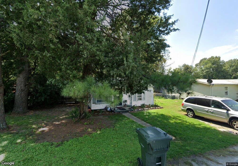
1949 Barrett Ln Humboldt, TN 38343
Estimated Value: $59,000 - $118,000
--
Bed
1
Bath
576
Sq Ft
$133/Sq Ft
Est. Value
About This Home
This home is located at 1949 Barrett Ln, Humboldt, TN 38343 and is currently estimated at $76,825, approximately $133 per square foot. 1949 Barrett Ln is a home located in Gibson County with nearby schools including Stigall Primary School, East Elementary School, and Humboldt Middle School.
Ownership History
Date
Name
Owned For
Owner Type
Purchase Details
Closed on
Jul 8, 2015
Sold by
Koffman Neill A
Bought by
Premier Rentals Llc
Current Estimated Value
Purchase Details
Closed on
Jun 5, 2006
Sold by
Adams David
Bought by
Koffman Neill
Purchase Details
Closed on
Oct 13, 2004
Sold by
Massey Brad
Bought by
Adams David and Adams Melissa
Purchase Details
Closed on
Sep 24, 2001
Bought by
Massey Brad
Purchase Details
Closed on
Mar 31, 2000
Bought by
Hunt Lee Sandra
Create a Home Valuation Report for This Property
The Home Valuation Report is an in-depth analysis detailing your home's value as well as a comparison with similar homes in the area
Home Values in the Area
Average Home Value in this Area
Purchase History
| Date | Buyer | Sale Price | Title Company |
|---|---|---|---|
| Premier Rentals Llc | $499,000 | -- | |
| Koffman Neill | $16,000 | -- | |
| Adams David | $16,500 | -- | |
| Massey Brad | $14,000 | -- | |
| Hunt Lee Sandra | $22,200 | -- |
Source: Public Records
Tax History Compared to Growth
Tax History
| Year | Tax Paid | Tax Assessment Tax Assessment Total Assessment is a certain percentage of the fair market value that is determined by local assessors to be the total taxable value of land and additions on the property. | Land | Improvement |
|---|---|---|---|---|
| 2025 | $240 | $8,875 | $0 | $0 |
| 2024 | $240 | $8,875 | $2,000 | $6,875 |
| 2023 | $52 | $4,675 | $750 | $3,925 |
| 2022 | $48 | $4,675 | $750 | $3,925 |
| 2021 | $48 | $4,675 | $750 | $3,925 |
| 2020 | $176 | $4,675 | $750 | $3,925 |
| 2019 | $176 | $4,675 | $750 | $3,925 |
| 2018 | $180 | $4,425 | $750 | $3,675 |
| 2017 | $178 | $4,425 | $750 | $3,675 |
| 2016 | $178 | $4,425 | $750 | $3,675 |
| 2015 | $176 | $4,425 | $750 | $3,675 |
| 2014 | -- | $4,425 | $750 | $3,675 |
Source: Public Records
Map
Nearby Homes
- 0 Highway 45 Bypass
- 2162 Dodson St
- 1730 Stallings Rd
- 2310 Dodson St
- 1438 N 19th Ave
- 00000 Lot 7 Mullins St
- 0000 lot 6-C Mullins St
- 000Lot 6-B Mullins St
- 00-lot 6-A Mullins St
- 1416 N 18th Ave
- 0 Viking Dr
- 2107 Campbell St
- 1325 N 17th Ave
- 00 Central Ave
- 2998 N Central Ave
- 1338 Dungan St
- 0 Eastend Dr
- 1211 N 29th Ave
- 811 N 24th Ave
- 804 N 24th Ave
- 1955 Barrett Ln
- 1929 Avondale St
- 1943 Avondale St
- 1941 Avondale St
- 2003 Avondale St
- 2011 Avondale St
- 2116 Barrett Ln
- 1919 Avondale St
- 2027 Avondale St
- 1958 Avondale St
- 2118 Barrett Ln
- 1917 Avondale St
- 2024 Avondale St Unit 2028
- 2035 Avondale St
- 2135 Barrett Ln
- 2124 Barrett Ln
- 2139 Barrett Ln
- 2203 Barrett Ln
- 2216 Barrett Ln
- 2209 Barrett Ln