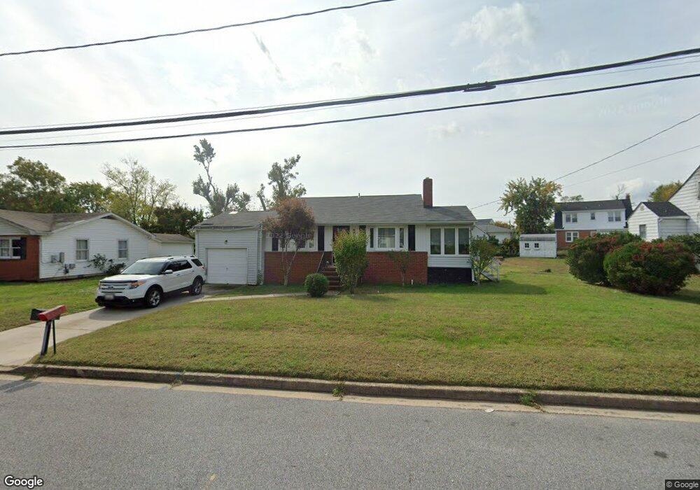
1949 Drew St Annapolis, MD 21401
Forest Villa NeighborhoodEstimated Value: $297,000 - $388,000
Studio
1
Bath
1,170
Sq Ft
$291/Sq Ft
Est. Value
About This Home
This home is located at 1949 Drew St, Annapolis, MD 21401 and is currently estimated at $340,433, approximately $290 per square foot. 1949 Drew St is a home located in Anne Arundel County with nearby schools including Walter S. Mills-Parole Elementary School, Annapolis Middle School, and Annapolis High School.
Ownership History
Date
Name
Owned For
Owner Type
Purchase Details
Closed on
Sep 15, 2021
Sold by
Belt Carl W and Estate Of George W Belt
Bought by
Johnson Carol and Belt Brown Gayle
Current Estimated Value
Home Financials for this Owner
Home Financials are based on the most recent Mortgage that was taken out on this home.
Original Mortgage
$228,683
Interest Rate
3.14%
Mortgage Type
New Conventional
Purchase Details
Closed on
Oct 23, 2007
Sold by
Robinson Dorothy I
Bought by
Belt George W
Purchase Details
Closed on
Oct 11, 2007
Sold by
Robinson Dorothy I
Bought by
Belt George W
Create a Home Valuation Report for This Property
The Home Valuation Report is an in-depth analysis detailing your home's value as well as a comparison with similar homes in the area
Home Values in the Area
Average Home Value in this Area
Purchase History
| Date | Buyer | Sale Price | Title Company |
|---|---|---|---|
| Johnson Carol | $235,756 | Eagle Title Llc | |
| Belt George W | -- | -- | |
| Belt George W | -- | -- |
Source: Public Records
Mortgage History
| Date | Status | Borrower | Loan Amount |
|---|---|---|---|
| Previous Owner | Johnson Carol | $228,683 |
Source: Public Records
Tax History
| Year | Tax Paid | Tax Assessment Tax Assessment Total Assessment is a certain percentage of the fair market value that is determined by local assessors to be the total taxable value of land and additions on the property. | Land | Improvement |
|---|---|---|---|---|
| 2025 | $3,535 | $267,267 | -- | -- |
| 2024 | $3,535 | $246,033 | $0 | $0 |
| 2023 | $3,228 | $224,800 | $125,400 | $99,400 |
| 2022 | $3,159 | $224,167 | $0 | $0 |
| 2020 | $2,653 | $222,900 | $125,400 | $97,500 |
| 2019 | $5,082 | $216,400 | $0 | $0 |
| 2018 | $2,920 | $209,900 | $0 | $0 |
| 2017 | $2,234 | $203,400 | $0 | $0 |
| 2016 | -- | $203,400 | $0 | $0 |
| 2015 | -- | $203,400 | $0 | $0 |
| 2014 | -- | $204,000 | $0 | $0 |
Source: Public Records
Map
Nearby Homes
- 8 Dorsey Ave
- 14 A Dorsey Ave
- 706 Agnes Dorsey Place
- 612 Severn Island Ct
- 206 Admiral Dr
- 606 James Walker Place
- 1808 Lincoln Dr
- 1915 Towne Centre Blvd Unit 1001
- 1915 Towne Centre Blvd Unit 301
- 1915 Towne Centre Blvd Unit 606
- 1915 Towne Centre Blvd Unit 807
- 1915 Towne Centre Blvd Unit 309
- 1915 Towne Centre Blvd Unit 406
- 1915 Towne Centre Blvd Unit 707
- 1915 Towne Centre Blvd Unit 503
- 1915 Towne Centre Blvd Unit 402
- 1915 Towne Centre Blvd Unit 1210
- 1915 Towne Centre Blvd Unit 1004
- 1915 Towne Centre Blvd Unit 502
- 1403 Corey Ln
Your Personal Tour Guide
Ask me questions while you tour the home.