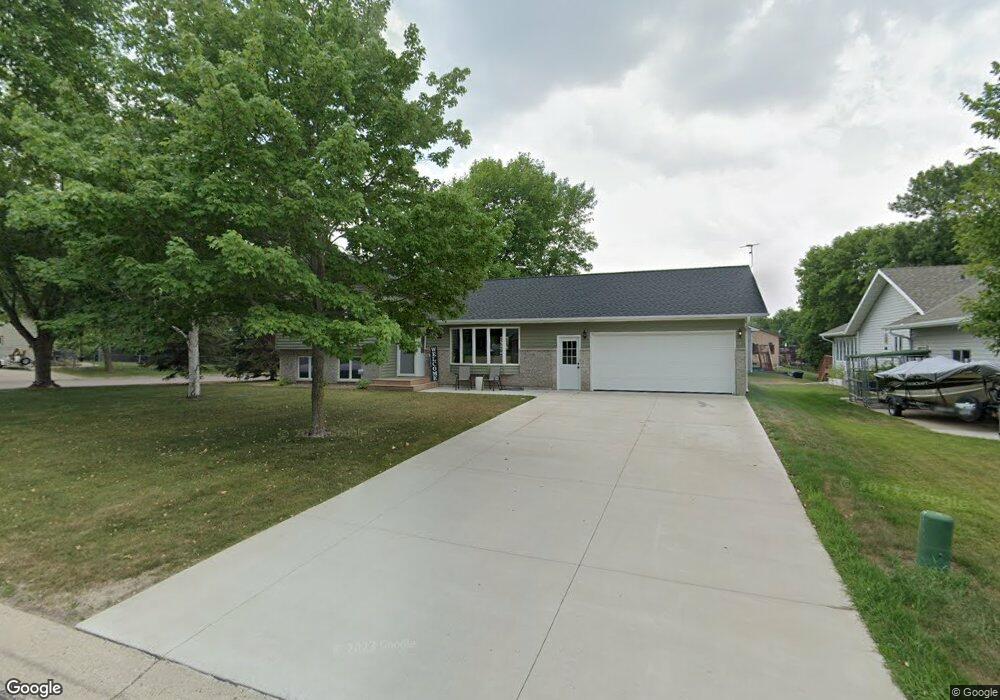
1949 E Highview Dr Sauk Rapids, MN 56379
Estimated Value: $271,247 - $305,000
3
Beds
2
Baths
1,085
Sq Ft
$267/Sq Ft
Est. Value
About This Home
This home is located at 1949 E Highview Dr, Sauk Rapids, MN 56379 and is currently estimated at $289,312, approximately $266 per square foot. 1949 E Highview Dr is a home located in Benton County with nearby schools including Pleasant View Elementary School, Sauk Rapids-Rice Middle School, and Sauk Rapids-Rice Senior High School.
Ownership History
Date
Name
Owned For
Owner Type
Purchase Details
Closed on
May 10, 2018
Sold by
Frassel James
Bought by
Frassel James and Frauendienst Jolie A
Current Estimated Value
Home Financials for this Owner
Home Financials are based on the most recent Mortgage that was taken out on this home.
Original Mortgage
$15,000
Outstanding Balance
$4,664
Interest Rate
4.4%
Mortgage Type
Stand Alone Second
Estimated Equity
$284,648
Purchase Details
Closed on
Sep 17, 2013
Sold by
Us Bank National Association
Bought by
Frassel James
Home Financials for this Owner
Home Financials are based on the most recent Mortgage that was taken out on this home.
Original Mortgage
$127,645
Interest Rate
3.87%
Mortgage Type
FHA
Purchase Details
Closed on
Jun 1, 2012
Sold by
Hofstater William and Hofstater Janel A
Bought by
Ames Funding Corp and Amaes Home Loan
Create a Home Valuation Report for This Property
The Home Valuation Report is an in-depth analysis detailing your home's value as well as a comparison with similar homes in the area
Home Values in the Area
Average Home Value in this Area
Purchase History
| Date | Buyer | Sale Price | Title Company |
|---|---|---|---|
| Frassel James | -- | Steams County Abstract & Tit | |
| Frassel James | $130,000 | Change Of Title Inc | |
| Ames Funding Corp | $2,277 | None Available |
Source: Public Records
Mortgage History
| Date | Status | Borrower | Loan Amount |
|---|---|---|---|
| Open | Frassel James | $15,000 | |
| Previous Owner | Frassel James | $127,645 |
Source: Public Records
Tax History
| Year | Tax Paid | Tax Assessment Tax Assessment Total Assessment is a certain percentage of the fair market value that is determined by local assessors to be the total taxable value of land and additions on the property. | Land | Improvement |
|---|---|---|---|---|
| 2025 | $3,028 | $268,600 | $31,100 | $237,500 |
| 2024 | $2,976 | $255,300 | $31,100 | $224,200 |
| 2023 | $2,828 | $256,300 | $31,100 | $225,200 |
| 2022 | $2,634 | $225,400 | $28,300 | $197,100 |
| 2021 | $2,396 | $194,500 | $28,300 | $166,200 |
| 2018 | $2,042 | $136,500 | $23,292 | $113,208 |
| 2017 | $2,042 | $125,100 | $22,852 | $102,248 |
| 2016 | $1,990 | $144,100 | $27,200 | $116,900 |
| 2015 | $2,012 | $110,300 | $22,158 | $88,142 |
| 2014 | -- | $131,300 | $27,200 | $104,100 |
| 2013 | -- | $107,300 | $22,010 | $85,290 |
Source: Public Records
Map
Nearby Homes
- 1954 W Highview Dr
- 390 18th Street Ct NW
- 122 Benton Oaks Dr
- 870 18th St NW
- 820 18th St NW
- 1914 N Benton Dr
- 932 Oak Pond Ct
- 18th 18th
- 506 Oak Pond Dr
- 1001 Oak Pond Dr
- 1806 Oak Pond Dr
- 1804 Oak Pond Dr
- 1209 Oak Pond Dr
- TBD N Benton Dr
- 398 Riverside Ave S
- 199 High Dr
- 201 High Dr
- 365 13th St N
- 405 16th St N
- 1401 4 1/2 Ave N
- 1949 E Highview Dr
- 1955 E Highview Dr
- 1936 Circle Dr NW
- 1929 E Highview Dr
- 1957 E Highview Dr
- 1950 E Highview Dr
- 1937 Circle Dr NW
- 1950 E Highview Dr
- 1934 Circle Dr NW
- 1935 Circle Dr NW
- 1963 E Highview Dr
- 1923 E Highview Dr
- 1962 E Highview Dr
- 1962 E Highview Dr
- 306 E Highview Ct
- 1932 Circle Dr NW
- 1930 E Highview Dr
- 1933 Circle Dr NW
- 1923 Circle Ct NW
- 1917 E Highview Dr
Your Personal Tour Guide
Ask me questions while you tour the home.