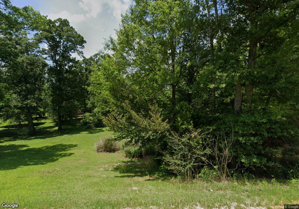
1949 Highway 51 NE Brookhaven, MS 39601
Estimated Value: $455,233 - $491,000
4
Beds
4
Baths
3,701
Sq Ft
$128/Sq Ft
Est. Value
About This Home
This home is located at 1949 Highway 51 NE, Brookhaven, MS 39601 and is currently estimated at $474,558, approximately $128 per square foot. 1949 Highway 51 NE is a home located in Lincoln County with nearby schools including Brookhaven High School.
Ownership History
Date
Name
Owned For
Owner Type
Purchase Details
Closed on
May 31, 2023
Sold by
Crawford-Huffman Christopher
Bought by
Mayfield Cynthia H
Current Estimated Value
Purchase Details
Closed on
Aug 2, 2022
Sold by
Le Mayfield Cynthia H
Bought by
Mayfield Cynthia H
Purchase Details
Closed on
Jun 29, 2018
Sold by
Hall Bradley L and Hall Terrie L
Bought by
Mayfield Robert A and Mayfield Cynthia H
Home Financials for this Owner
Home Financials are based on the most recent Mortgage that was taken out on this home.
Original Mortgage
$91,260
Interest Rate
4.5%
Mortgage Type
New Conventional
Purchase Details
Closed on
Oct 13, 2006
Sold by
Hunt Waylon and Hunt Amelia A
Bought by
Grierson Raymond Jeffrey and Grierson Pyhllis A
Create a Home Valuation Report for This Property
The Home Valuation Report is an in-depth analysis detailing your home's value as well as a comparison with similar homes in the area
Home Values in the Area
Average Home Value in this Area
Purchase History
| Date | Buyer | Sale Price | Title Company |
|---|---|---|---|
| Mayfield Cynthia H | -- | None Listed On Document | |
| Mayfield Cynthia H | -- | Allen Allen Breeland & Allen P | |
| Mayfield Robert A | -- | -- | |
| Grierson Raymond Jeffrey | -- | -- |
Source: Public Records
Mortgage History
| Date | Status | Borrower | Loan Amount |
|---|---|---|---|
| Previous Owner | Mayfield Robert A | $91,260 |
Source: Public Records
Tax History Compared to Growth
Tax History
| Year | Tax Paid | Tax Assessment Tax Assessment Total Assessment is a certain percentage of the fair market value that is determined by local assessors to be the total taxable value of land and additions on the property. | Land | Improvement |
|---|---|---|---|---|
| 2024 | $3,576 | $36,777 | $0 | $0 |
| 2023 | $3,576 | $28,697 | $0 | $0 |
| 2022 | $2,200 | $28,694 | $0 | $0 |
| 2021 | $2,349 | $28,697 | $0 | $0 |
| 2020 | $2,446 | $27,910 | $0 | $0 |
| 2019 | $2,453 | $27,912 | $0 | $0 |
| 2018 | $2,600 | $29,197 | $0 | $0 |
| 2016 | $2,424 | $28,372 | $0 | $0 |
| 2015 | $2,316 | $28,369 | $0 | $0 |
| 2014 | $2,869 | $28,366 | $0 | $0 |
Source: Public Records
Map
Nearby Homes
- 2435 Brignall Rd NE
- 1608 N Jackson St
- 1927 Clark Travis Ln NE
- 210 Industrial Park Rd NE
- 00 Industrial Park Rd NE
- 733 NE Industrial Rd
- 502 Urban Ln
- 515 Urban Ln
- 982 Dunn-Ratcliff Rd NW
- 00 Love St
- 511 White Oak Dr
- 1012 N Jackson St
- 404 Crider Dr
- 906 Myra St
- 430 Crider Dr
- 411 Crider Dr
- 0 Belt Line Dr NE
- 1336 Union St
- 2548 Furrs Mill Dr NE
- 211 Rogers Cir
- 1949 Highway 51 NE
- 1949 Highway 51 NE
- 757 Earls Trail NE
- 1949 U S 51
- 1949 U S Highway 51
- 745 Earls Trail NE
- 1931 U S 51
- 1991 Highway 51 NE
- 1949 Hwy 51ne
- 1979 Highway 51 NE
- 2001 Highway 51 NE
- 608 Newman Trail NE
- 1989 Highway 51 NE
- 1911 Earls Cir NE
- 1913 Highway 51 NE
- 1940 Highway 51 NE
- 1924 Highway 51 NE
- 714 Earls Trail NE
- 628 Newman Trail NE
- 0000 Hwy 51 S
