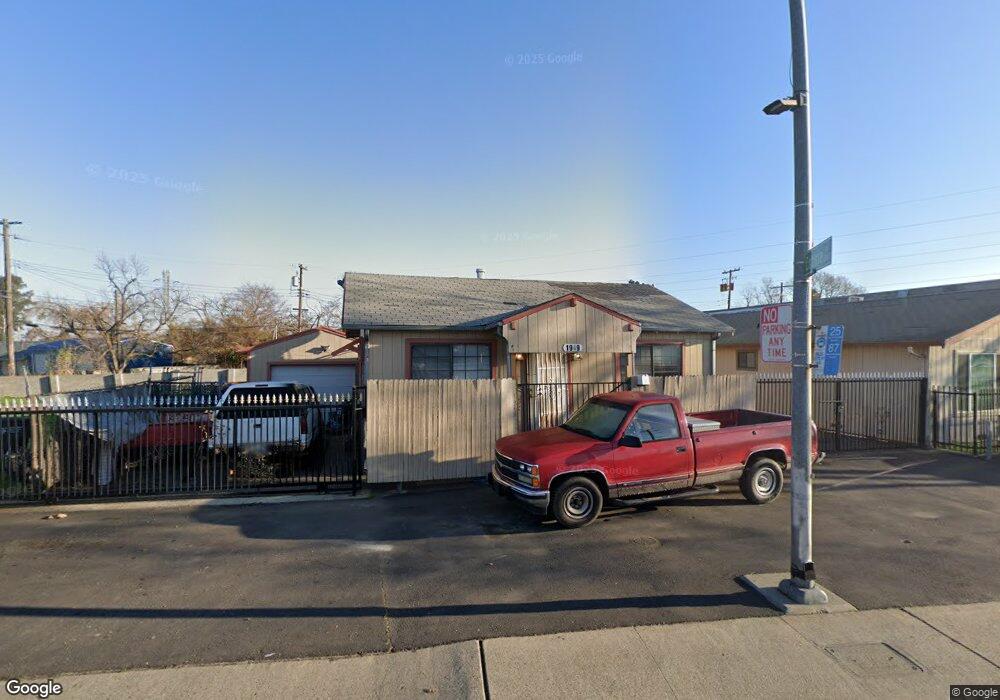
1949 Marconi Ave Sacramento, CA 95815
Ben Ali NeighborhoodEstimated Value: $238,000 - $345,935
3
Beds
2
Baths
920
Sq Ft
$328/Sq Ft
Est. Value
About This Home
This home is located at 1949 Marconi Ave, Sacramento, CA 95815 and is currently estimated at $301,984, approximately $328 per square foot. 1949 Marconi Ave is a home located in Sacramento County with nearby schools including D. W. Babcock Elementary, Martin Luther King Jr. Technology Academy, and Grant Union High School.
Ownership History
Date
Name
Owned For
Owner Type
Purchase Details
Closed on
Apr 23, 2003
Sold by
Bierman Lorenzen Leslie and Bierman Lorenzen Cheryl
Bought by
Chima Amrik S and Chima Shamsher K
Current Estimated Value
Home Financials for this Owner
Home Financials are based on the most recent Mortgage that was taken out on this home.
Original Mortgage
$88,000
Outstanding Balance
$37,221
Interest Rate
5.54%
Estimated Equity
$264,763
Create a Home Valuation Report for This Property
The Home Valuation Report is an in-depth analysis detailing your home's value as well as a comparison with similar homes in the area
Home Values in the Area
Average Home Value in this Area
Purchase History
| Date | Buyer | Sale Price | Title Company |
|---|---|---|---|
| Chima Amrik S | $130,000 | Stewart Title | |
| Bierman Lorenzen Leslie | -- | Stewart Title |
Source: Public Records
Mortgage History
| Date | Status | Borrower | Loan Amount |
|---|---|---|---|
| Open | Bierman Lorenzen Leslie | $88,000 |
Source: Public Records
Tax History Compared to Growth
Tax History
| Year | Tax Paid | Tax Assessment Tax Assessment Total Assessment is a certain percentage of the fair market value that is determined by local assessors to be the total taxable value of land and additions on the property. | Land | Improvement |
|---|---|---|---|---|
| 2025 | $2,268 | $188,261 | $112,959 | $75,302 |
| 2024 | $2,268 | $184,571 | $110,745 | $73,826 |
| 2023 | $2,278 | $180,953 | $108,574 | $72,379 |
| 2022 | $2,148 | $177,406 | $106,446 | $70,960 |
| 2021 | $2,138 | $173,928 | $104,359 | $69,569 |
| 2020 | $2,116 | $172,145 | $103,289 | $68,856 |
| 2019 | $2,088 | $168,770 | $101,264 | $67,506 |
| 2018 | $1,985 | $165,462 | $99,279 | $66,183 |
| 2017 | $2,031 | $162,219 | $97,333 | $64,886 |
| 2016 | $2,028 | $159,039 | $95,425 | $63,614 |
| 2015 | $1,908 | $156,651 | $93,992 | $62,659 |
| 2014 | $1,945 | $153,583 | $92,151 | $61,432 |
Source: Public Records
Map
Nearby Homes
- 1923 Juliesse Ave
- 2115 Ruby Ct
- 2849 Aurora Ave
- 2133 Marconi Ave
- 2137 Marconi Ave
- 3135 Academy Way
- 2818 Plover St
- 1757 Kenwood St
- 2155 Whippoorwill Ln
- 1705 Kenwood St
- 3139 Judah St
- 1851 Glenrose Ave
- 2265 Marconi Ave
- 2257 Edison Ave
- 2620 Darwin St
- 3216 1/2 Palmer St
- 1528 Sonoma Ave
- 1655 Los Robles Blvd
- 2513 Anna Way
- 3435 Montrose St
- 1953 Marconi Ave
- 1918 Naomi Way
- 3035 Connie Dr
- 1922 Naomi Way
- 3031 Connie Dr Unit 1
- 3031 Connie Dr
- 3027 Connie Dr
- 1926 Naomi Way
- 1932 Naomi Way
- 1938 Marconi Ave
- 1953 Juliesse Ave
- 1945 Juliesse Ave
- 1934 Naomi Way
- 1926 Marconi Cir
- 1926 Marconi Ave
- 1924 Marconi Ave
- 2954 Connie Dr
- 1925 Naomi Way
- 1924 Marconi Cir
- 1937 Juliesse Ave