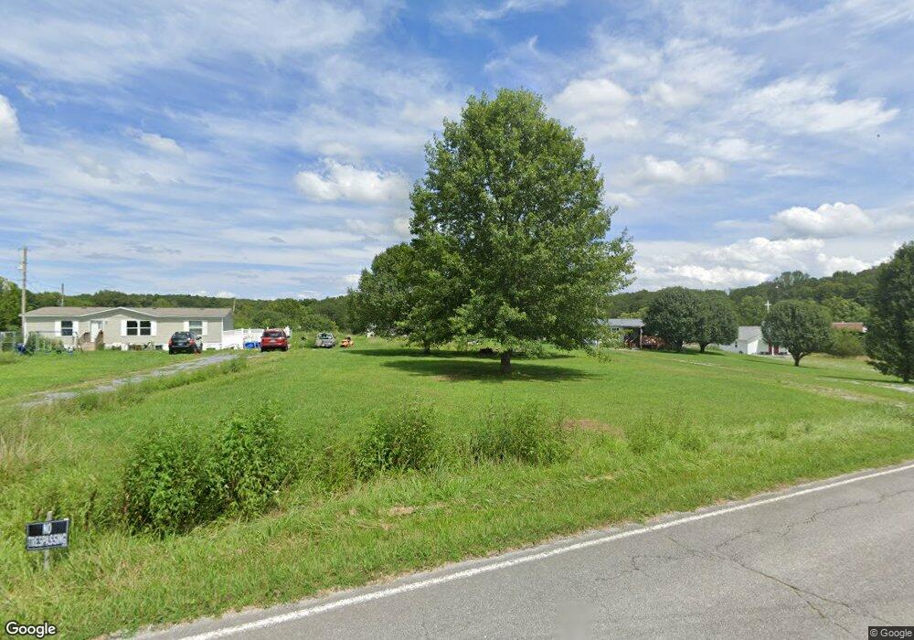
1949 Phillipi Rd Mohawk, TN 37810
Estimated Value: $69,941 - $111,000
2
Beds
2
Baths
1,280
Sq Ft
$71/Sq Ft
Est. Value
About This Home
This home is located at 1949 Phillipi Rd, Mohawk, TN 37810 and is currently estimated at $90,485, approximately $70 per square foot. 1949 Phillipi Rd is a home located in Greene County with nearby schools including McDonald Elementary School, West Greene Middle Schools, and West Greene High School.
Ownership History
Date
Name
Owned For
Owner Type
Purchase Details
Closed on
Apr 8, 2020
Sold by
Bird Alonzo J and Bird Lori A
Bought by
Mays Samuel David
Current Estimated Value
Purchase Details
Closed on
Jul 19, 2006
Sold by
Brown Sammie
Bought by
Bird Alonzo J
Home Financials for this Owner
Home Financials are based on the most recent Mortgage that was taken out on this home.
Original Mortgage
$28,000
Interest Rate
7.5%
Purchase Details
Closed on
Apr 1, 2005
Sold by
Brown James R
Bought by
Brown Sammie
Purchase Details
Closed on
Apr 8, 2002
Sold by
Goan Randal and Hill Joe Ann
Bought by
Brown James R
Purchase Details
Closed on
Aug 24, 1994
Bought by
Hill James L Joe Ann
Create a Home Valuation Report for This Property
The Home Valuation Report is an in-depth analysis detailing your home's value as well as a comparison with similar homes in the area
Home Values in the Area
Average Home Value in this Area
Purchase History
| Date | Buyer | Sale Price | Title Company |
|---|---|---|---|
| Mays Samuel David | $39,000 | East Tennessee T&E Svcs Inc | |
| Bird Alonzo J | $31,000 | -- | |
| Brown Sammie | $17,300 | -- | |
| Brown James R | $26,600 | -- | |
| Hill James L Joe Ann | $35,700 | -- |
Source: Public Records
Mortgage History
| Date | Status | Borrower | Loan Amount |
|---|---|---|---|
| Previous Owner | Hill James L Joe Ann | $28,000 |
Source: Public Records
Tax History Compared to Growth
Tax History
| Year | Tax Paid | Tax Assessment Tax Assessment Total Assessment is a certain percentage of the fair market value that is determined by local assessors to be the total taxable value of land and additions on the property. | Land | Improvement |
|---|---|---|---|---|
| 2025 | $59 | $3,600 | $3,600 | -- |
| 2024 | $59 | $3,600 | $3,600 | -- |
| 2023 | $59 | $3,600 | $0 | $0 |
| 2022 | $52 | $2,575 | $2,575 | $0 |
| 2021 | $143 | $2,575 | $2,575 | $0 |
| 2020 | $143 | $7,075 | $2,575 | $4,500 |
| 2019 | $143 | $7,075 | $2,575 | $4,500 |
| 2018 | $143 | $7,075 | $2,575 | $4,500 |
| 2017 | $134 | $6,800 | $2,575 | $4,225 |
| 2016 | $127 | $6,800 | $2,575 | $4,225 |
| 2015 | $127 | $6,800 | $2,575 | $4,225 |
| 2014 | $127 | $6,800 | $2,575 | $4,225 |
Source: Public Records
Map
Nearby Homes
- 915 Porter Kite Rd
- Tbd Copperhead Hollow Rd Unit LotWP001
- 1550 Mount Hope #2 Rd
- 1550 Mount Hope #1 Rd
- 1550 Mount Hope Rd Unit 2
- 1550 Mount Hope Rd Unit 1
- 1550 Mount Hope Rd
- 1210 Oasis Rd
- 330 Oasis Rd
- 750 Tom White Hollow Rd
- 0 Mohawk Ridge Rd Unit 1307547
- 1 Mohawk Ridge Rd
- 7 W Andrew Johnson Hwy
- 1040 Yellow Springs Rd
- 1365 Mohawk Ridge Rd
- 704 Weems Chapel Rd
- 0 Gap Creek Rd Unit 22620366
- 0 Gap Creek Rd Unit 1288379
- 0 Gap Creek Rd Unit 9975568
- 415 Stone Mountain Rd
- 1905 Phillipi Rd
- 1955 Phillipi Rd
- 1985 Phillipi Rd
- 1988 Phillipi Rd
- 2014 Phillipi Rd
- 1948 Phillipi Rd
- 1840 Phillipi Rd
- 1994 Phillipi Rd
- 2038 Phillipi Rd
- 140 Kate Riley Ln
- 1735 Phillipi Rd
- 1969 Phillipi Rd
- 1780 Phillipi Rd
- 2149 Phillipi Rd
- 345 Sipes Ln
- 2145 Phillipi Rd
- 1590 Phillipi Rd
- 365 Sipes Ln
- 385 Sipes Ln
- 1665 Phillipi Rd