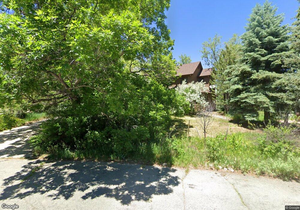
1949 Poplar Ln Boulder, CO 80304
North Boulder NeighborhoodEstimated Value: $1,654,311 - $2,026,000
5
Beds
3
Baths
3,212
Sq Ft
$571/Sq Ft
Est. Value
About This Home
This home is located at 1949 Poplar Ln, Boulder, CO 80304 and is currently estimated at $1,832,828, approximately $570 per square foot. 1949 Poplar Ln is a home located in Boulder County with nearby schools including Crest View Elementary School, Centennial Middle School, and Boulder High School.
Ownership History
Date
Name
Owned For
Owner Type
Purchase Details
Closed on
Feb 8, 2023
Sold by
Allen Kay Eugene
Bought by
Kay Family Living Trust
Current Estimated Value
Purchase Details
Closed on
Dec 30, 2022
Sold by
Allen Kay Eugene
Bought by
Kay Family Living Trust
Purchase Details
Closed on
Jul 31, 1995
Sold by
Buckingham West Iii George Page and Buckingham West Linda
Bought by
Kay Eugene A
Home Financials for this Owner
Home Financials are based on the most recent Mortgage that was taken out on this home.
Original Mortgage
$320,000
Interest Rate
7.25%
Purchase Details
Closed on
Mar 16, 1992
Bought by
Kay Eugene A
Purchase Details
Closed on
May 11, 1984
Bought by
Kay Eugene A
Purchase Details
Closed on
Nov 30, 1981
Bought by
Kay Eugene A
Create a Home Valuation Report for This Property
The Home Valuation Report is an in-depth analysis detailing your home's value as well as a comparison with similar homes in the area
Home Values in the Area
Average Home Value in this Area
Purchase History
| Date | Buyer | Sale Price | Title Company |
|---|---|---|---|
| Kay Family Living Trust | -- | -- | |
| Kay Family Living Trust | -- | -- | |
| Kay Eugene A | $400,000 | -- | |
| Kay Eugene A | $243,900 | -- | |
| Kay Eugene A | $197,200 | -- | |
| Kay Eugene A | $36,500 | -- |
Source: Public Records
Mortgage History
| Date | Status | Borrower | Loan Amount |
|---|---|---|---|
| Previous Owner | Kay Eugene A | $320,000 |
Source: Public Records
Tax History
| Year | Tax Paid | Tax Assessment Tax Assessment Total Assessment is a certain percentage of the fair market value that is determined by local assessors to be the total taxable value of land and additions on the property. | Land | Improvement |
|---|---|---|---|---|
| 2025 | $8,710 | $112,094 | $65,850 | $46,244 |
| 2024 | $8,710 | $112,094 | $65,850 | $46,244 |
| 2023 | $8,559 | $105,806 | $68,072 | $41,419 |
| 2022 | $7,039 | $82,747 | $54,919 | $27,828 |
| 2021 | $6,712 | $85,128 | $56,499 | $28,629 |
| 2020 | $6,470 | $81,474 | $50,622 | $30,852 |
| 2019 | $6,371 | $81,474 | $50,622 | $30,852 |
| 2018 | $6,108 | $77,652 | $37,440 | $40,212 |
| 2017 | $5,917 | $85,849 | $41,392 | $44,457 |
| 2016 | $5,324 | $69,467 | $35,183 | $34,284 |
| 2015 | $5,042 | $56,874 | $25,631 | $31,243 |
| 2014 | $4,113 | $56,874 | $25,631 | $31,243 |
Source: Public Records
Map
Nearby Homes
- 1885 Quince Ave
- 1801 Redwood Ave
- 1800 Sumac Ave
- 1695 Orchard Ave
- 4165 17th St
- 1945 Norwood Ave
- 2158 Tamarack Ave
- 1560 Sumac Ave
- 1620 Oak Ave
- 1505 Oak Ave
- 1487 Periwinkle Dr
- 2345 Spotswood Place
- 2116 Vine Ave
- 3877 15th St
- 2170 Vine Ave
- 2125 Vine Ave
- 2362 Spotswood Place
- 3633 21st St
- 2558 Premier Place
- 4500 19th St Unit 111
- 1951 Poplar Ln
- 4000 19th St
- 3980 19th St
- 1957 Poplar Ln
- 1945 Poplar Ln
- 1959 Poplar Ave
- 1953 Poplar Ln
- 1955 Poplar Ln
- 1901 Poplar Ave
- 4081 Garnet Ln
- 1961 Poplar Ave
- 1904 Poplar Ave
- 1890 Quince Ave
- 1880 Redwood Ave
- 1940 Poplar Ave
- 1920 Poplar Ave
- 3975 19th St
- 1960 Poplar Ave
- 1865 Quince Ave
- 2100 Emerald Rd
Your Personal Tour Guide
Ask me questions while you tour the home.